
National Monument
Dinosaur National Monument
150 million years ago, dinosaurs roamed here. Their fossils are still embedded in the rocks. Today, mountains, desert, and rivers flowing in canyons support a variety of life. Petroglyphs reveal the lives and connections of Indigenous people to this land. Homesteaders and outlaws found refuge here. Whether your passion is science, adventure, history, or scenery, Dinosaur offers much to explore.
Official NPS pageDanger: No Wood or Charcoal Fires Allowed - Stage 2 Fire Restrictions in Effect
Due to the extremely dry conditions and high fire danger all fires are prohibited. Only petroleum or propane-fueled stoves or grills are allowed in backcountry/river campsites, campgrounds, and picnic areas. Fireworks are never allowed. Smoke only inside vehicles.
Hours
The outdoor areas in the monument is open 24 hours per day. Facilities such as visitor centers and the Quarry Exhibit Hall have specific hours of operation. Visit the Operating Hours & Seasons page for more information on facility hours. Some areas of the monument may close in the winter due to snow.
Entrance fees
Entrance - Private Vehicle: $25.00 · Entrance - Motorcycle: $20.00 · Entrance - Per Person: $15.00
Getting there
Dinosaur National Monument is located on the Colorado and Utah border with parts of the monument in both states. Dinosaur fossils are only visible in the Utah portion of the monument, not on the Colorado side. The Quarry Visitor Center and Exhibit Hall (where you see the dinosaur fossils) are located approximately 7 miles north of Jensen, Utah. The Canyon Visitor Center is located in Dinosaur, Colorado.
Camping in this park
Echo Park Campground
Situated along the Green River at the base of towering cliffs, the Echo Park Campground provides a unique camping experience in Dinosaur National Monument. Steamboat Rock dominates the view. Fremont petroglyphs are located on the canyon walls. Bighorn sheep and mule deer frequently roam through the campground. Unimproved hiking trails lead to the confluence of the Green and Yampa Rivers or to view
Gates of Lodore Campground
Gates of Lodore Campground is located on the Green River at the boat ramp at the head of Lodore Canyon. The campground is popular with river rafters who often stay here before launching on the Green River. There are 19 sites, some with shade. The sites have tables and fire pits or grills. During the summer, there is running water and vault toilets, but no showers. The campsites can accommodate ten
Rainbow Park Campground
Rainbow Park Campground is 28 miles (45 km) from the Quarry Visitor Center in the Utah portion of the monument. It is located on a dirt road that is impassable when wet. The campground sits beside the Green River near the Rainbow Park Boat Ramp at the head of Split Mountain Canyon. Rainbow Park Campground is open year-round, but there is no winter maintenance on the unpaved road.
Split Mountain Group Campground
The Split Mountain Group Campground is located along the banks of the Green River at an elevation of 4800 feet (1463 m) near the foot of Split Mountain. The campground is 5 miles (8 km) from the dinosaur quarry, where you can see 150 million year old dinosaur bones encased in the rock. Beside the campground is the Split Mountain Boat Ramp where rafters and boaters come off the Green River. During
Green River Campground
The Green River Campground is located along the banks of the Green River in a grove of cottonwood trees at an elevation of 4795 (4162 feet). The highly eroded Split Mountain towers to the north of the campground. The famous dinosaur quarry, where you can see 150 million year old dinosaur bones still encased in rock is approximately 5 miles (8 km) from the campground. Nearby is the Split Mountain B
Deerlodge Park Campground
Deerlodge Park Campground is located 51 miles (82 km) east of the Canyon Visitor Center. It is located on the Yampa River at the boat ramp at the head of Yampa Canyon. It has seven shady sites suitable for tents. The sites have tables and fire pits. There is drinking water and vault toilets available seasonally, but no showers. Deerlodge Park Campground is open year-round, but winter access can be
Things to do
View the Night Sky at Split Mountain
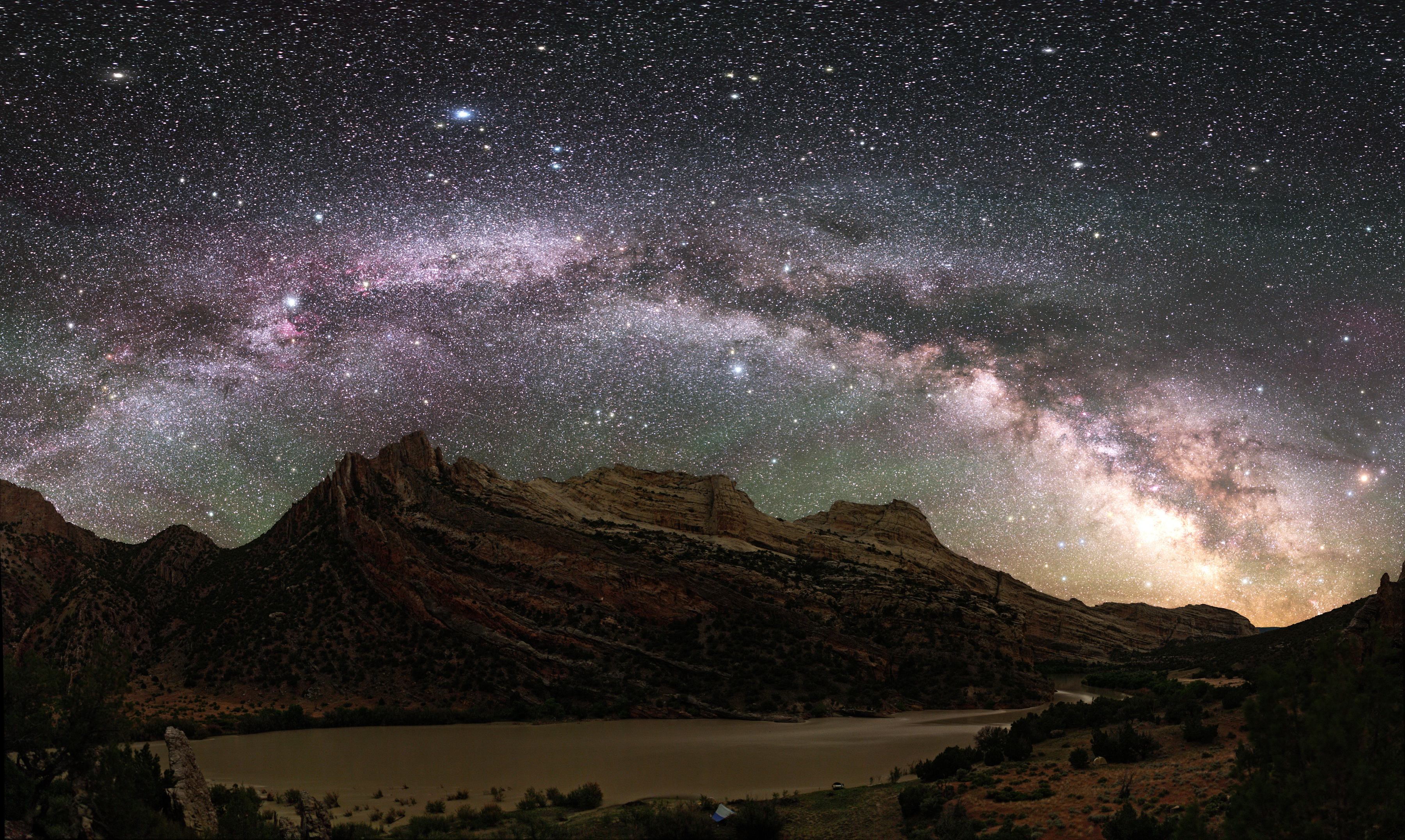
Dinosaur has been recognized as an International Dark Sky Park by the International Dark Skies Association. Much of the monument provides opportunities to view the night skies. The Split Mountain Campground has a designated night sky viewing area and is where the monument hosts night sky viewing programs.
Hike the Jones Hole Trail
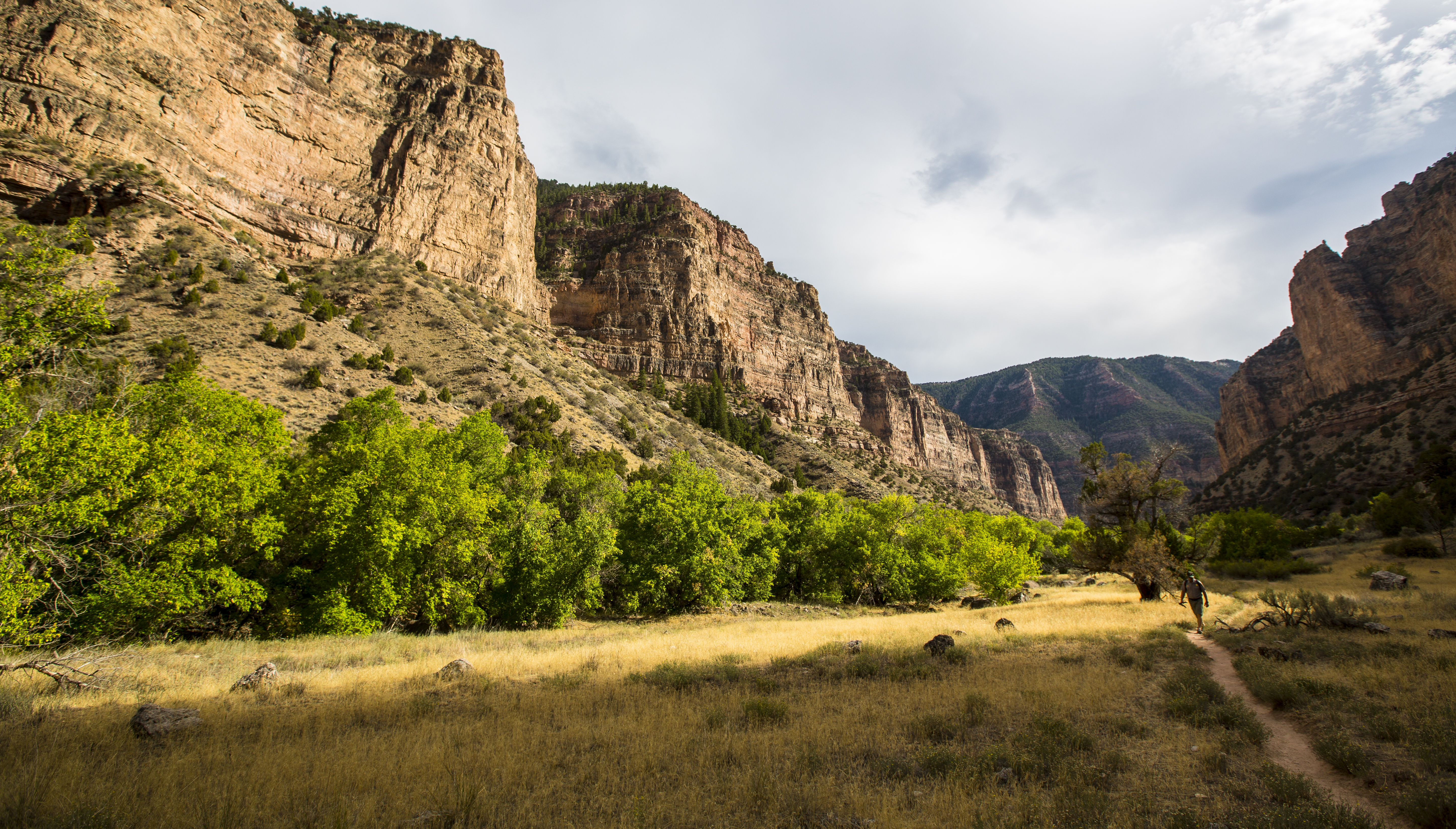
8.5 miles (13.6 km) round trip, out and back trail. Jones Hole Trail is a popular hike along a babbling brook near the northwest corner of Dinosaur National Monument. The creek offers good trout fishing. A Utah State fishing license is required. Backcountry camping requires a permit. Camping at Ely Creek requires advanced reservations. No pets allowed.
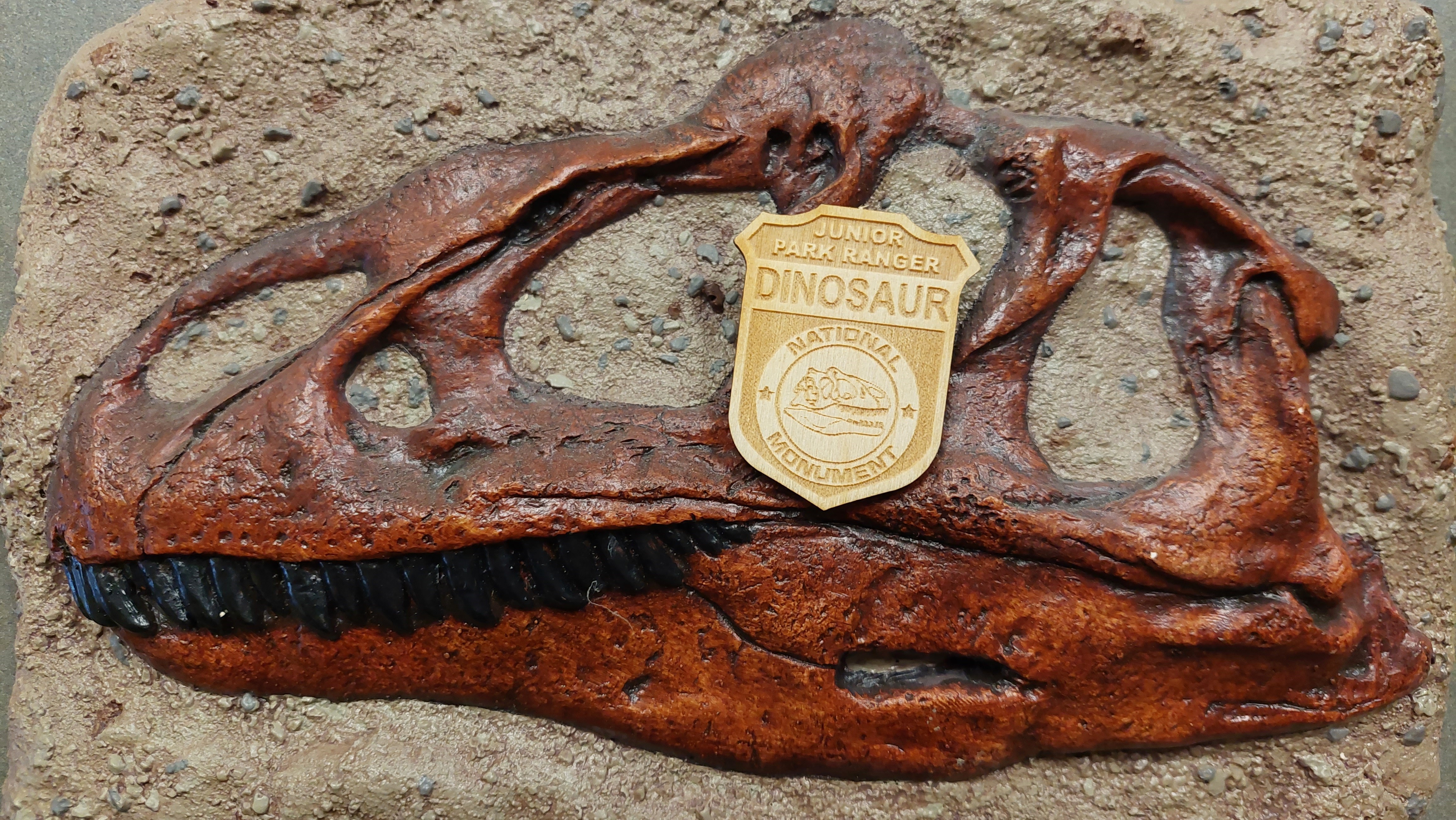
Be a Dinosaur Junior Ranger
Junior Rangers help to "Explore, Learn, and Protect" our national parks. Anyone can be a Junior Ranger! Once you learn about the monument and the amazing resources found here, you will be able to share your knowledge with friends and family!
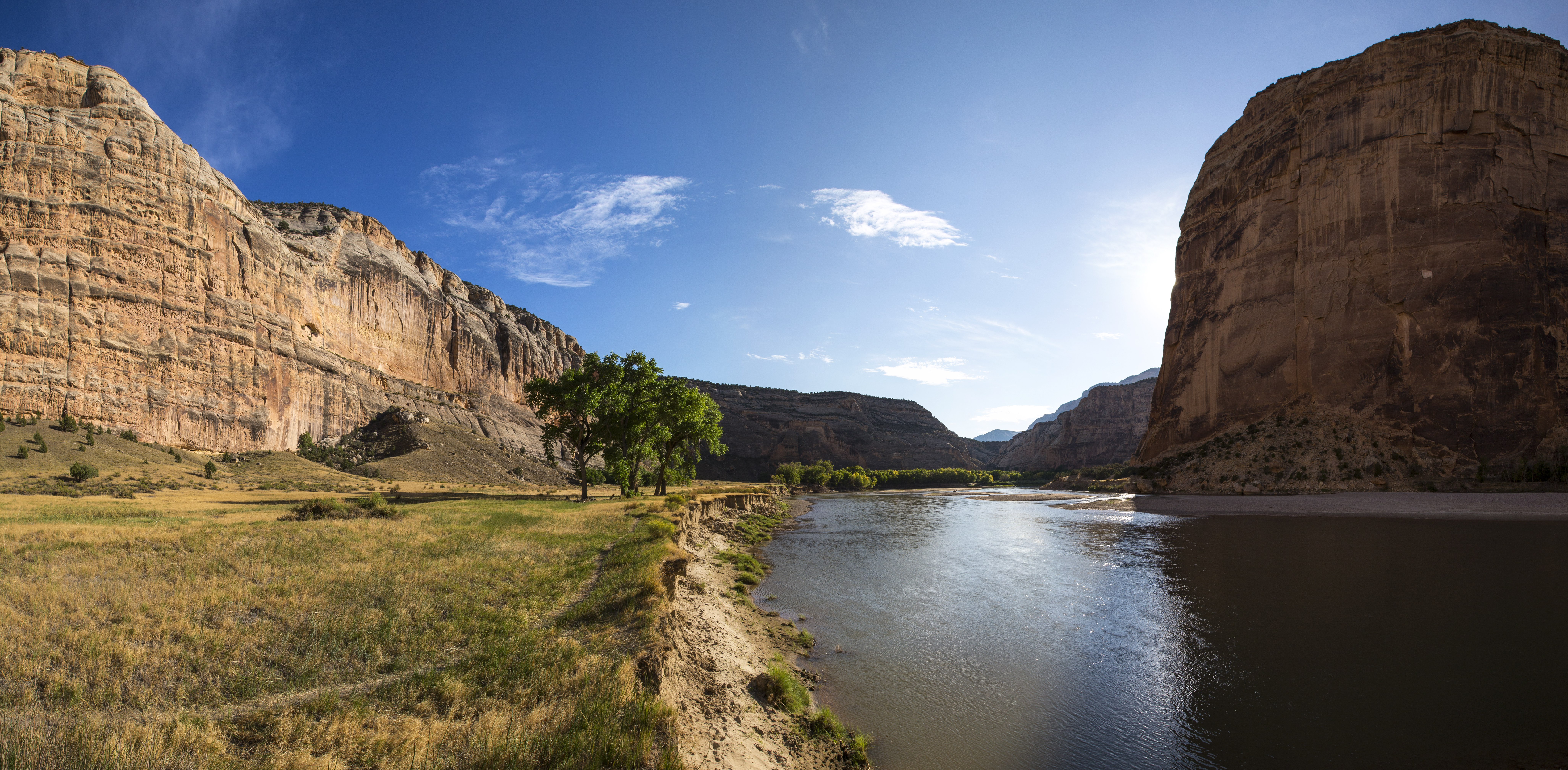
Hike the Confluence Trail
1.25 miles (2 km) round trip, out and back trail. Easy. The Confluence Trail provides a short and easy walk to the confluence of the Green and Yampa Rivers at Echo Park. No pets allowed.
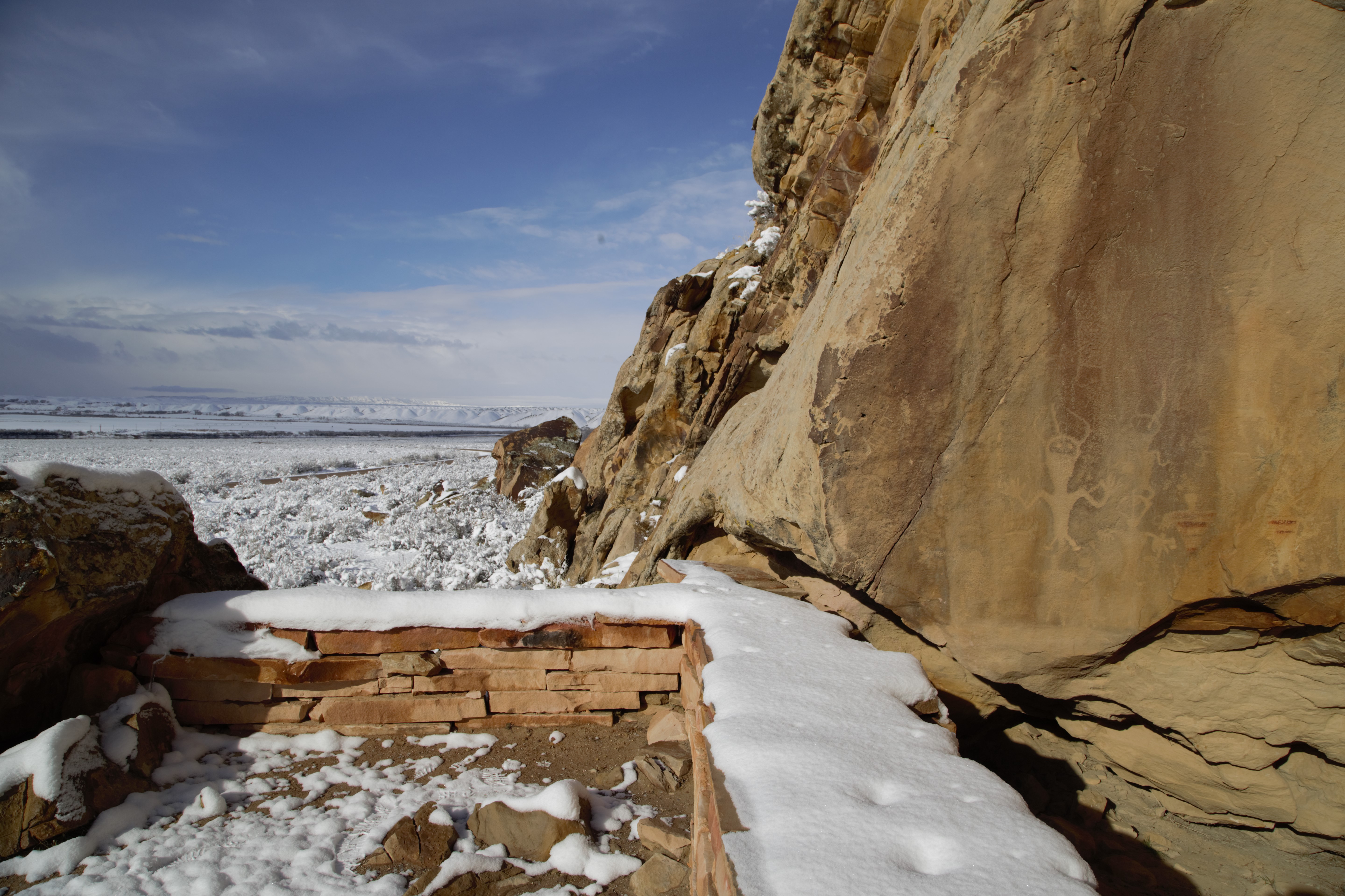
Hike to the Swelter Shelter Petroglyphs
400 feet (122 m) out and back trail. Easy. This short hike to Swelter Shelter offers visitors an opportunity to view a variety of petroglyphs and pictographs very close to the road. Petroglyphs and pictographs are fragile, irreplaceable records of the past that many still hold sacred. Don't touch, trace, or take rubbings of them as it ruins the designs. This site is protected by federal law. Leashed pets are allowed.
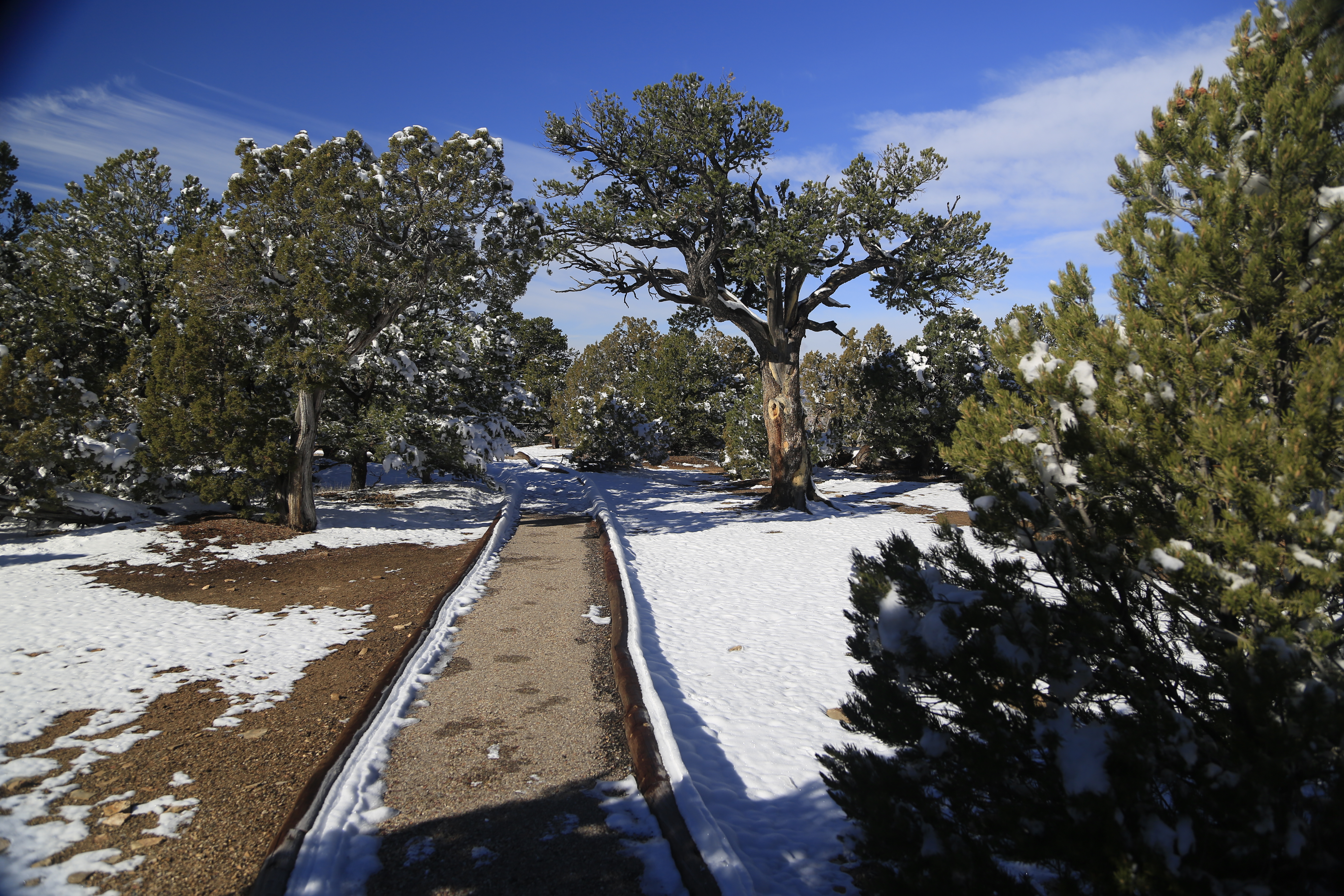
Picnicking in Dinosaur
The Plug Hat Butte picnic area is located along Harpers Corner Road on the Colorado side of the monument.
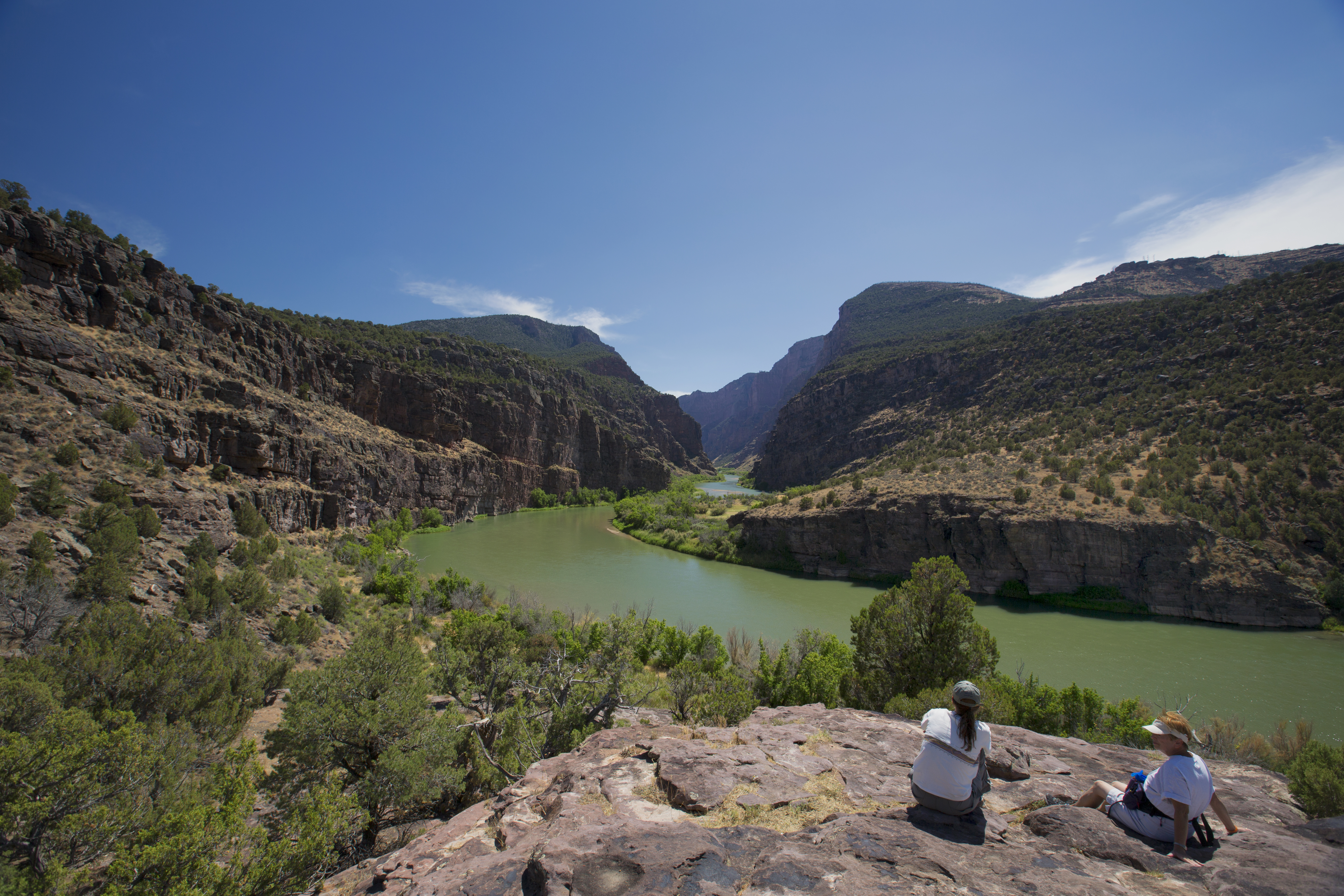
Hike the Gates of Lodore Trail
1 mile (1.6 km) round trip, out and back trail. Easy. The Gates of Lodore Trail is a short but scenic walk to a view of the Green River as it enters the Canyon of Lodore. A trail booklet is available at the Visitor Centers. No pets allowed.
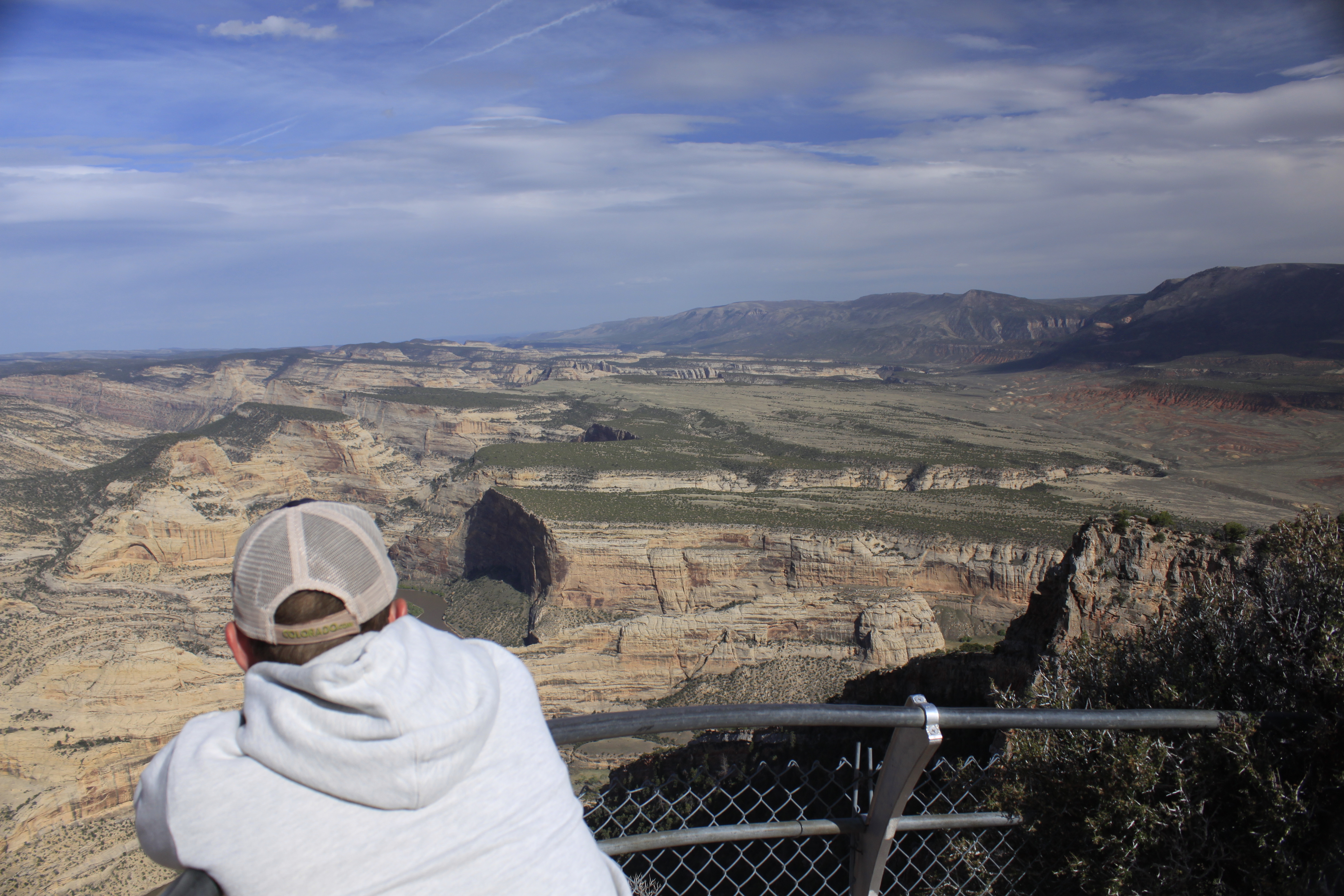
Hike the Harpers Corner Trail
2 miles (3.2 km) round trip, out and back trail. Moderate difficulty. The Harpers Corner Trail runs along a narrow ridge to a spectacular viewpoint with views of the rivers far below. Along the way, hikers can gaze across the remote canyon country. A pamphlet for this trail is available at the Visitor Centers. The trail is typically inaccessible in winter. No pets allowed.
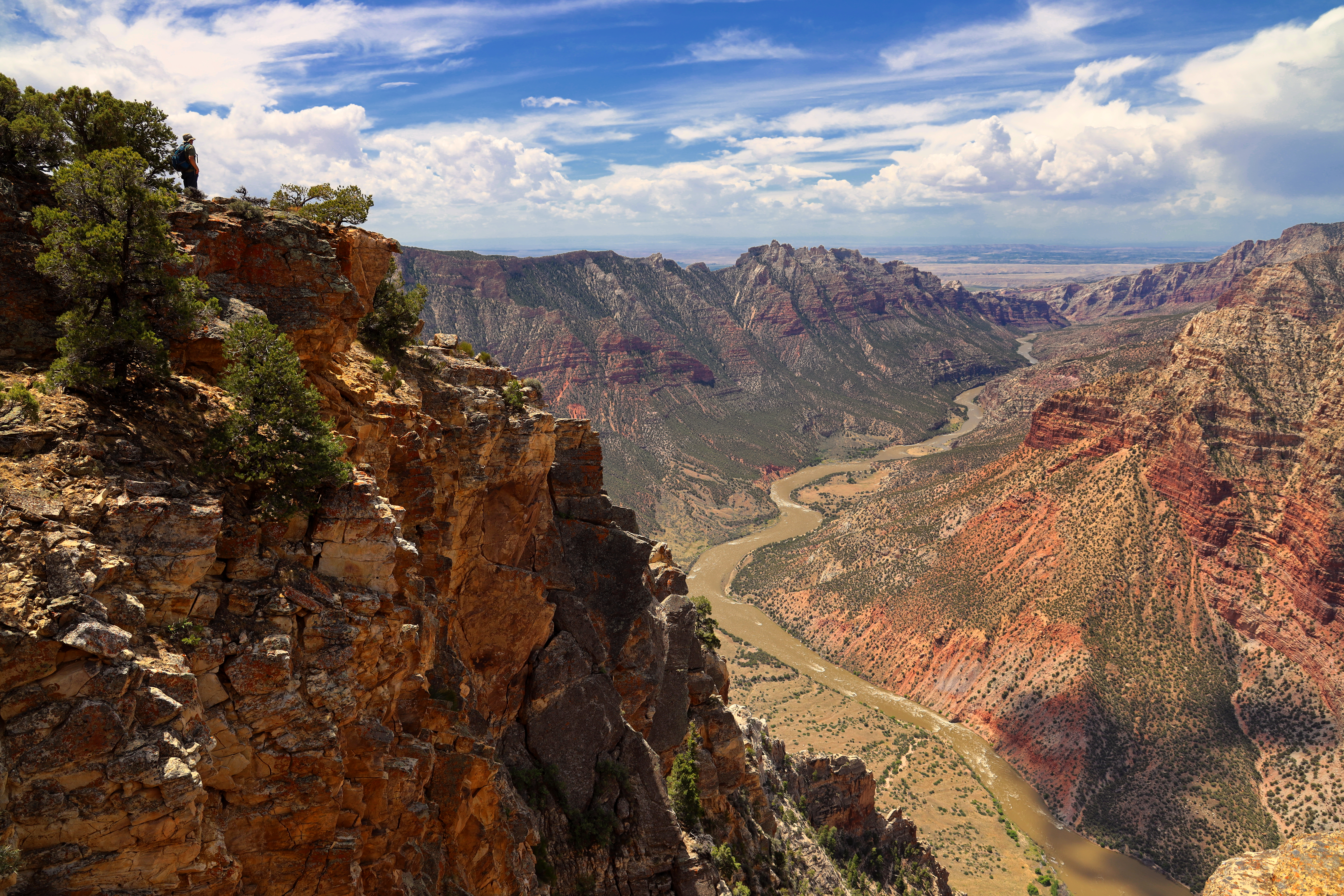
Hike the Ruple Point Trail
9.2 miles (14.8 km) round trip, out and back trail. Moderate to difficult. For most of its length, Ruple Point Trail crosses a rolling terrain filled with sagebrush and juniper. Near the end, a short descent rewards hikers with a breathtaking views of Split Mountain Canyon and the Green River below. No pets allowed.
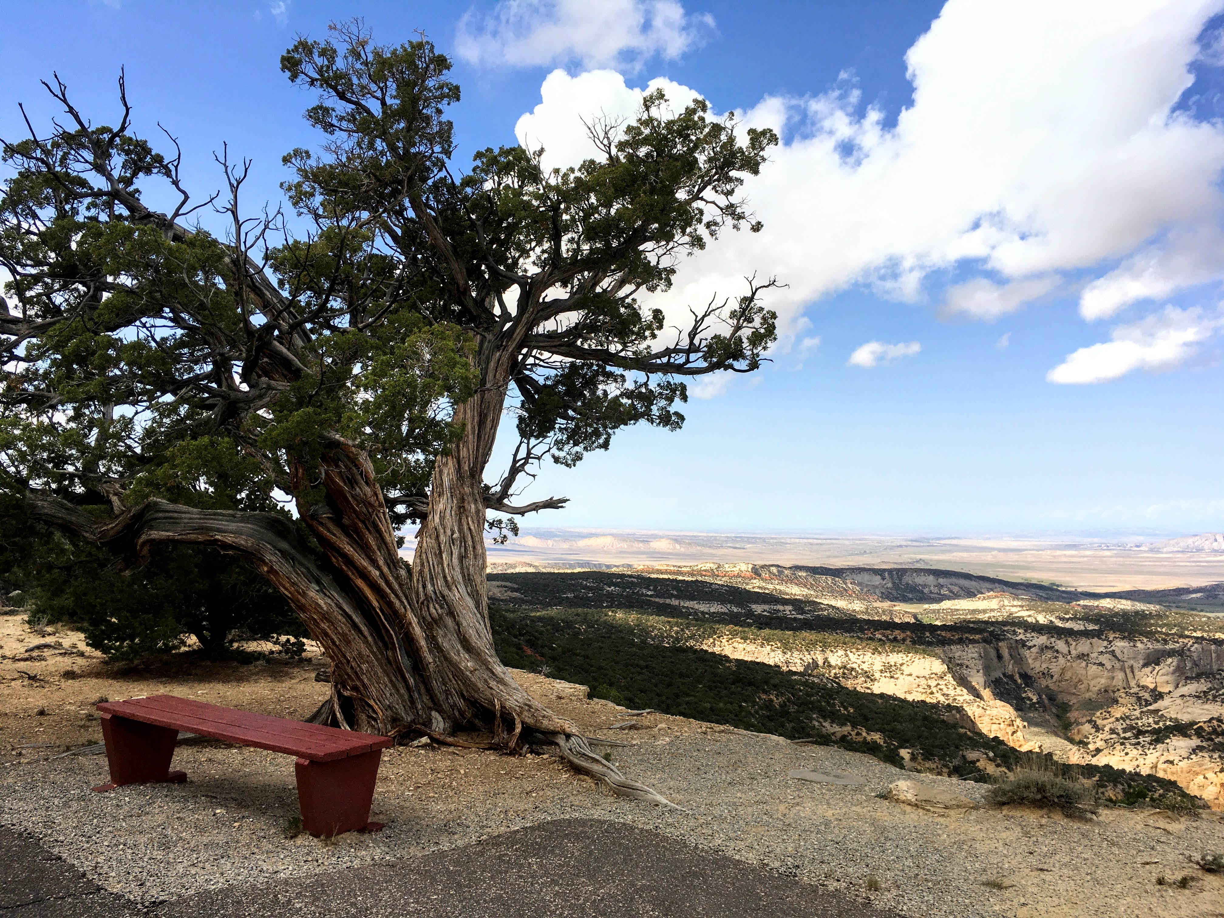
Hike the Plug Hat Trail
0.25 miles (0.4 km) round trip loop trail. Easy. The Plug Hat Trail offers scenic views of Dinosaur's rugged landscape from atop a sandstone butte. This trail is paved and wheelchair accessible. Leashed pets are allowed.
Hike the Box Canyon Trail
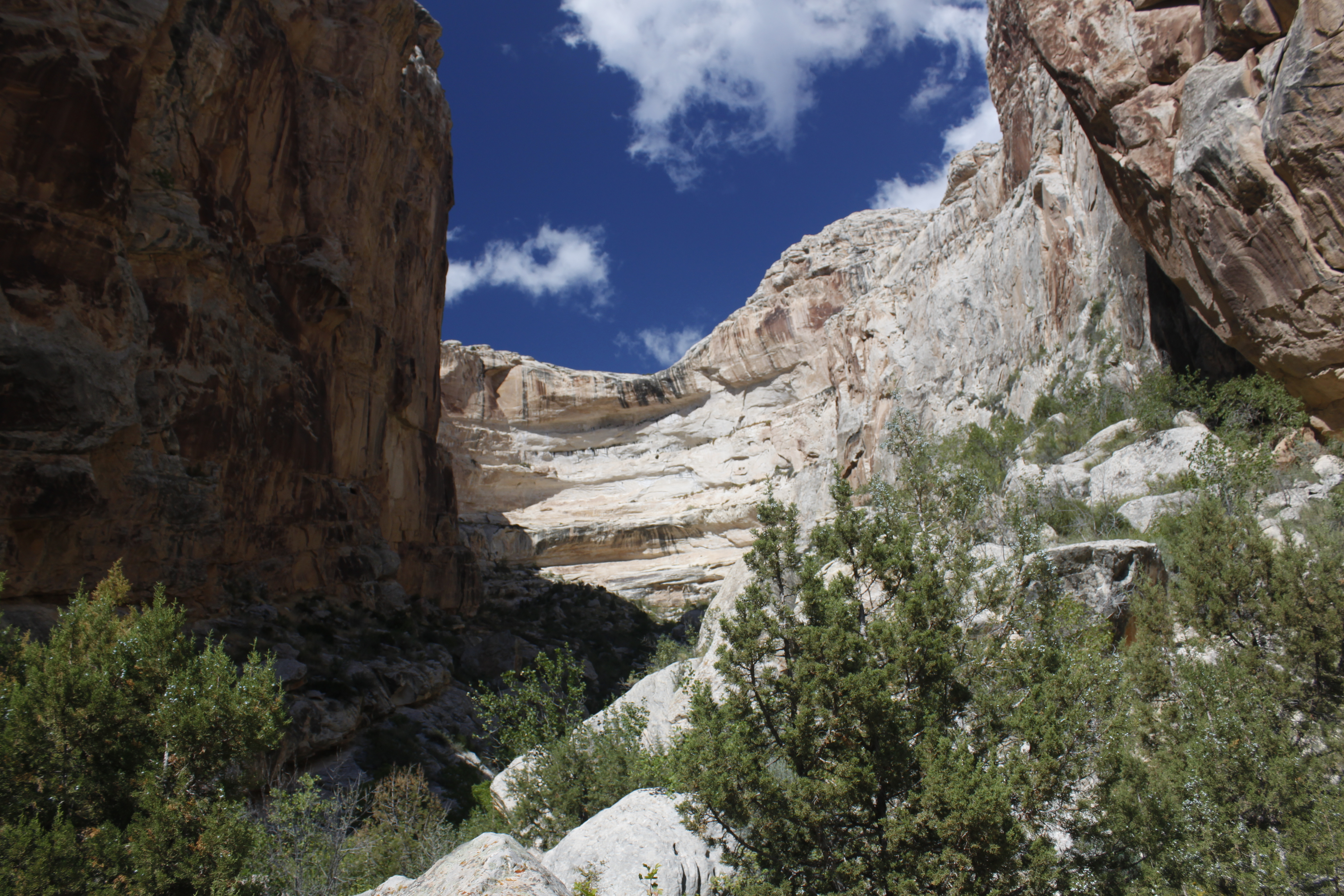
0.25 miles (0.4 km) round trip, out and back trail. Easy. The Box Canyon Trail is a relatively level and shady walk into a dead-end canyon. The trailhead is located on the north side of the parking area for the Josie Morris Cabin. This is typically a good hike for small children. Keep kids close, and watch for poison ivy. No pets allowed.
Hike the River Trail at Dinosaur National Monument
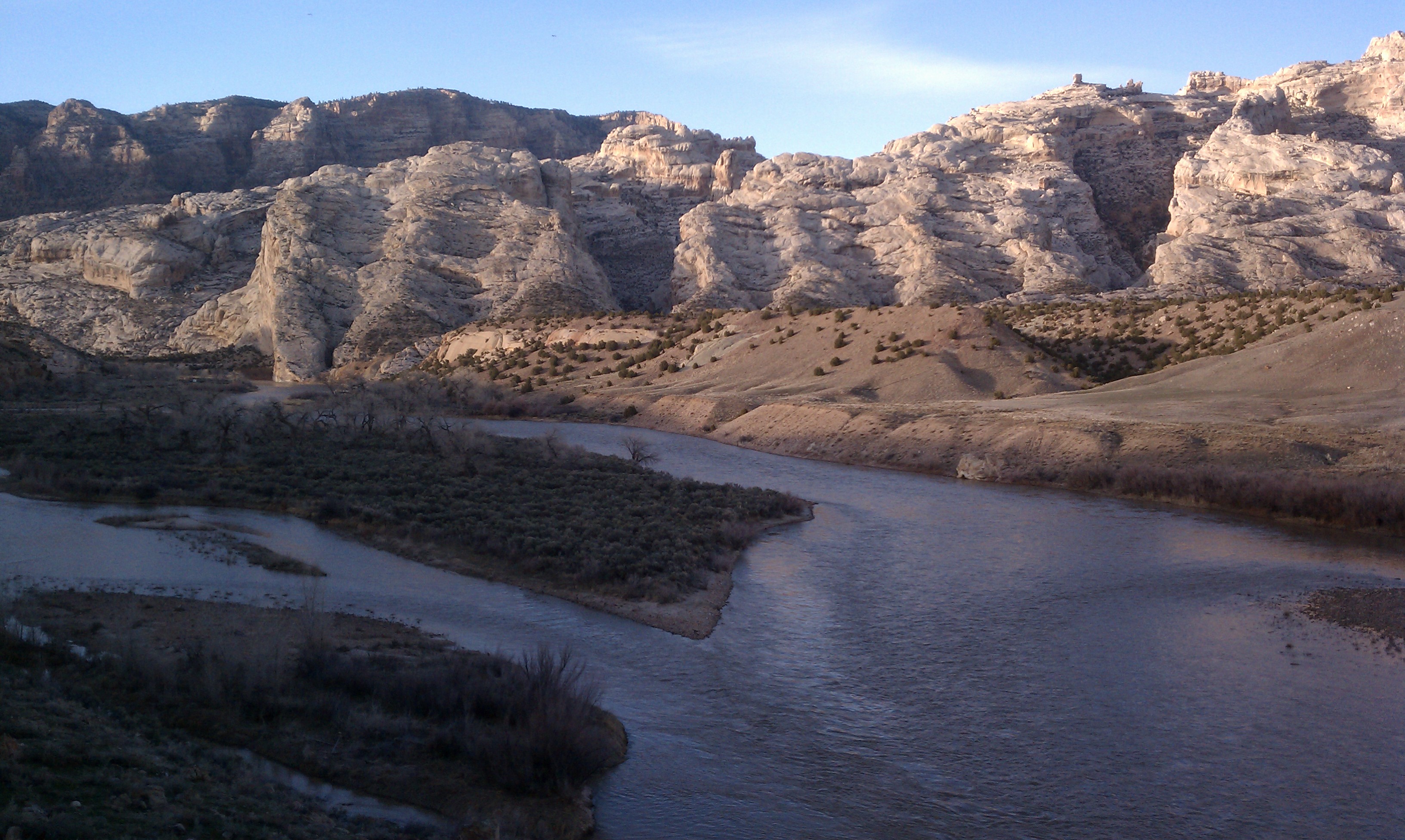
3 miles (4.8 km) round trip, out and back trail. Moderate difficulty. The River Trail in Dinosaur National Monument connects the Split Mountain and Green River campgrounds. This trail climbs to a bench above the river and offers dramatic views of Spilt Mountain, the Green River, and Cub Creek Valley. In spring, the slopes may be briefly covered with an array of wildflowers. Leashed pets are allowed.
Places to see
Gates of Lodore Trail Stop 6
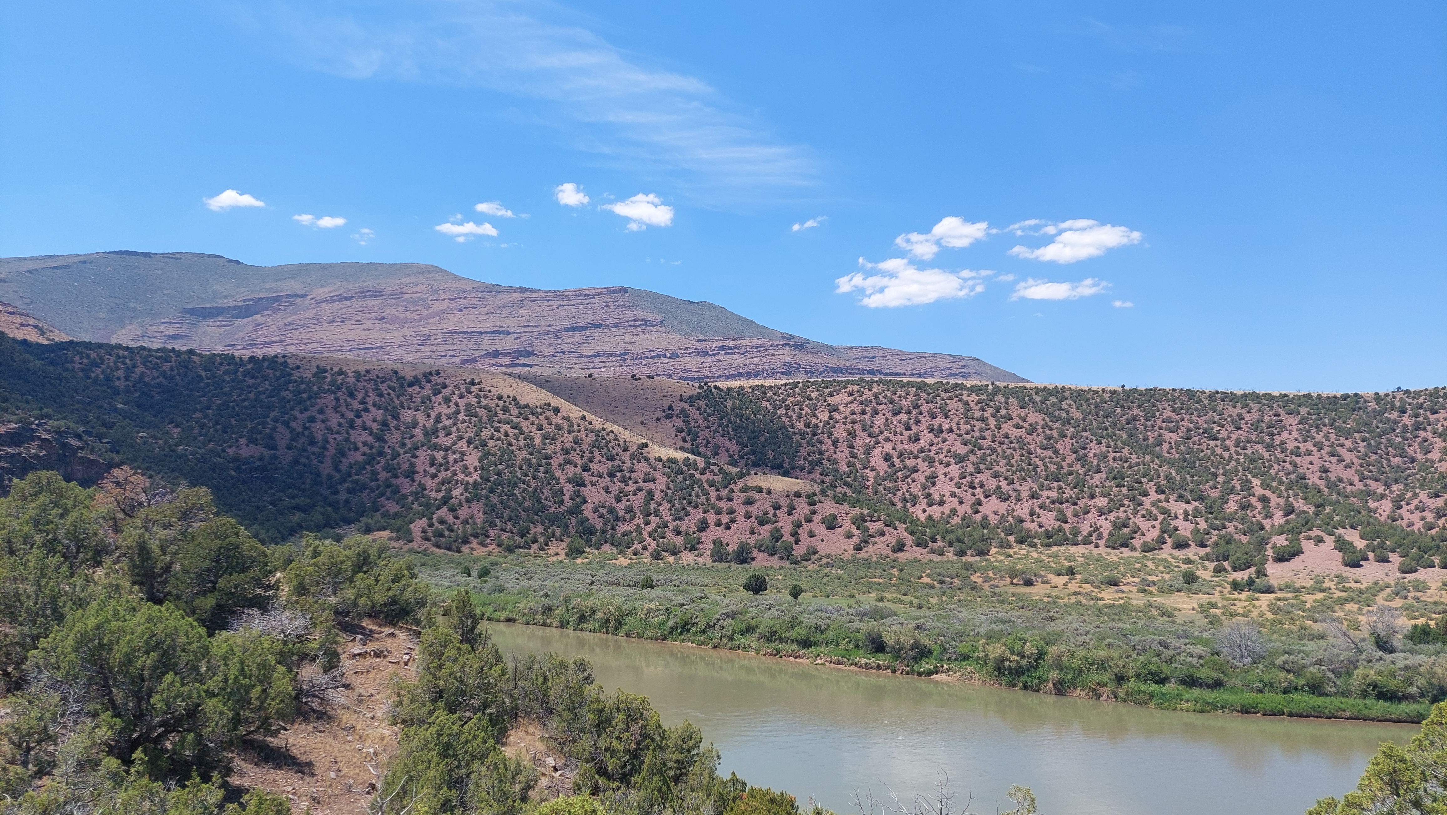
The Uinta Mountains, a spur of the Rocky Mountains, were formed by compression of the Earth’s crust. Once level layers, they then buckled upward into a broad arch. The range is highest in north-central Utah and gradually flattens out east of here. This uplifting probably began about the time the dinosaurs went extinct, and most likely continued a little at a time over millions of years. Even as the land rose, it was being worn down by erosion. Many of the younger rock layers have been stripped off to reveal these ancient rocks that were once at the very core of the mountains.
Morrison Formation
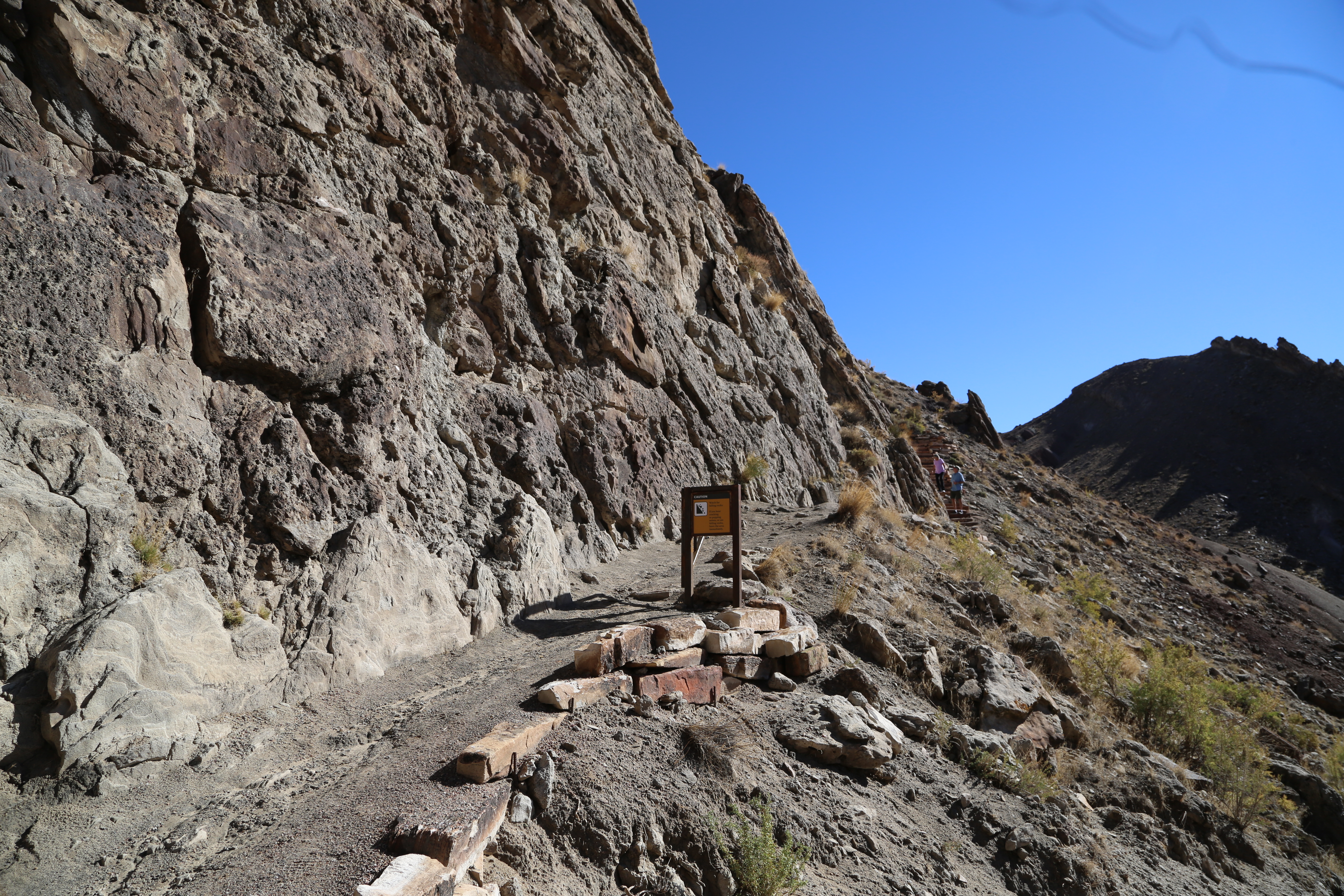
Each step leads you through rock layers with different colors, textures, and fossils. Sometimes these differences are subtle, sometimes striking. Most of the Morrison Formation is mudstone and clay, but watch for the trail spur that follows a sandstone cliff. This part of the Morrison Formation is made up of river-deposited sand and gravel. Based on radiometric dating from volcanic ash, in older and younger layers on either side of the sandstone wall, this layer is estimated to be about 151 million years old. Fossil fragments of dinosaurs are embedded in the cliff along with impressions of freshwater clams. The Morrison Formation trail spur follows the same sandstone layer that is exposed in the Quarry Exhibit Hall. However, this cliff has not been worked on by paleontologists to make the bones easier to see. The first fossils along the spur are fragments that are shiny and dark orange in color. Some have a spongey-looking interior which contained bone marrow. Their texture is generally smooth and their size ranges from 1/2 inch to 10 inches in diameter. As you hike along the cliff, the quality and size of the fossil bones increases. Just past the mid-point of the spur, the trail dips a few feet. From here, look up about 10 feet on the cliff face to see eight vertebrae. At the very end of the spur, a large femur rests in the rock. Sharp eyes can find more bones, depending on the angle of the sun. More than eleven species of dinosaurs have been discovered in the Morrison Formation within the monument. They range in size from about seven inches to nearly 100 feet, with some sauropods exceeding 50,000 pounds. New research on non-dinosaur fossils such as small animals, plant remains, pollen, and insect trackways tell us more about the environment in which these animals lived. Based on this research, scientists believe that around 150 million years ago, the area was semi-arid and warm, with year-round streams. Ferns dominated the plant life, along with conifers, ginkgo trees, tree ferns and horsetail rushes. When you return to the main trail, you return to the mudstone and clay layers of the Morrison Formation. Soon you will leave the Jurassic period and enter the Cretaceous, marked by a brown sandstone in the Cedar Mountain Formation. A species of sauropod named Abydosaurus mcintoshii was found during the 1990s in this formation in the monument, proving that paleontologists still have much left to discover.
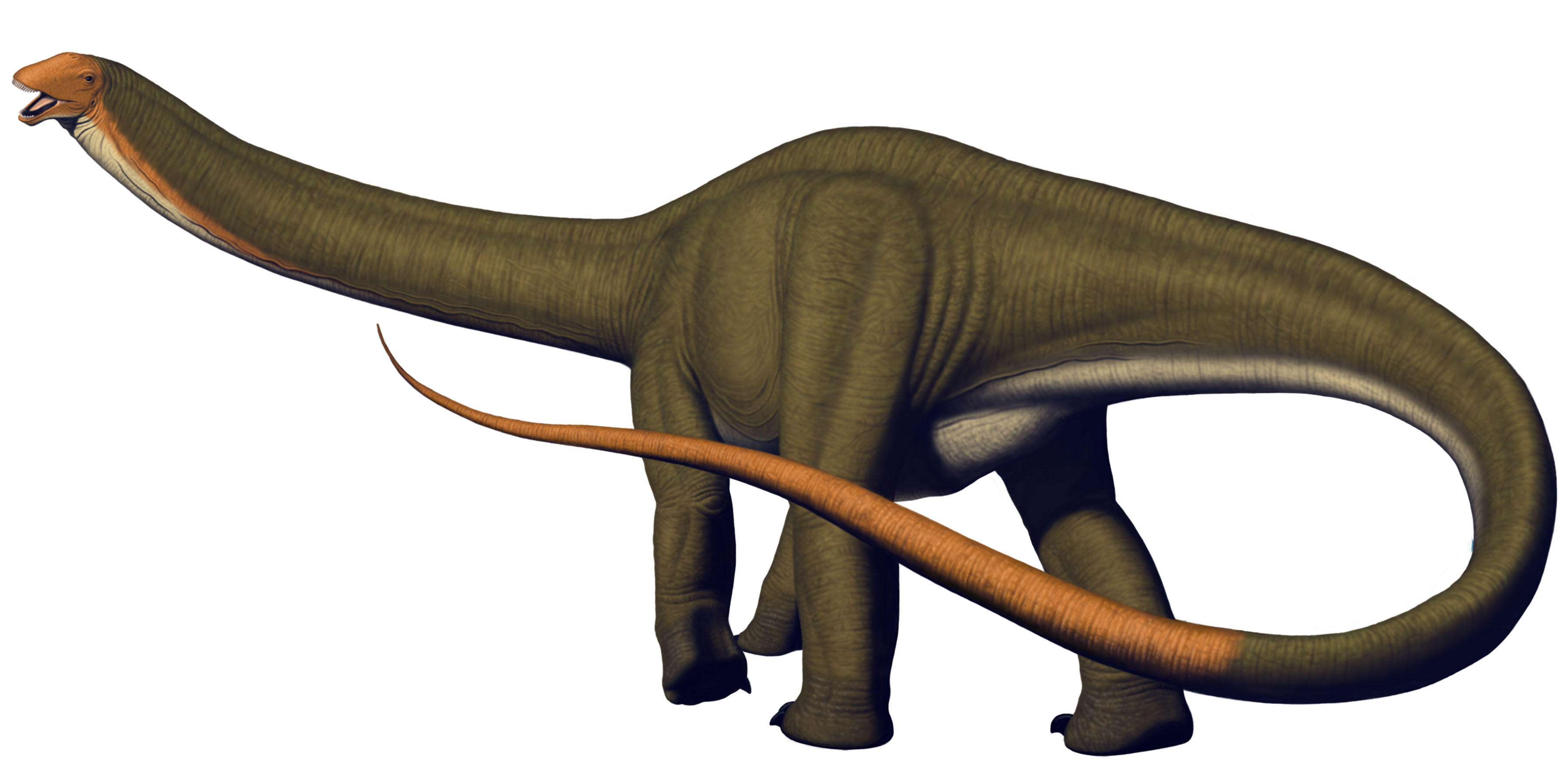
Apatosaurus louisae
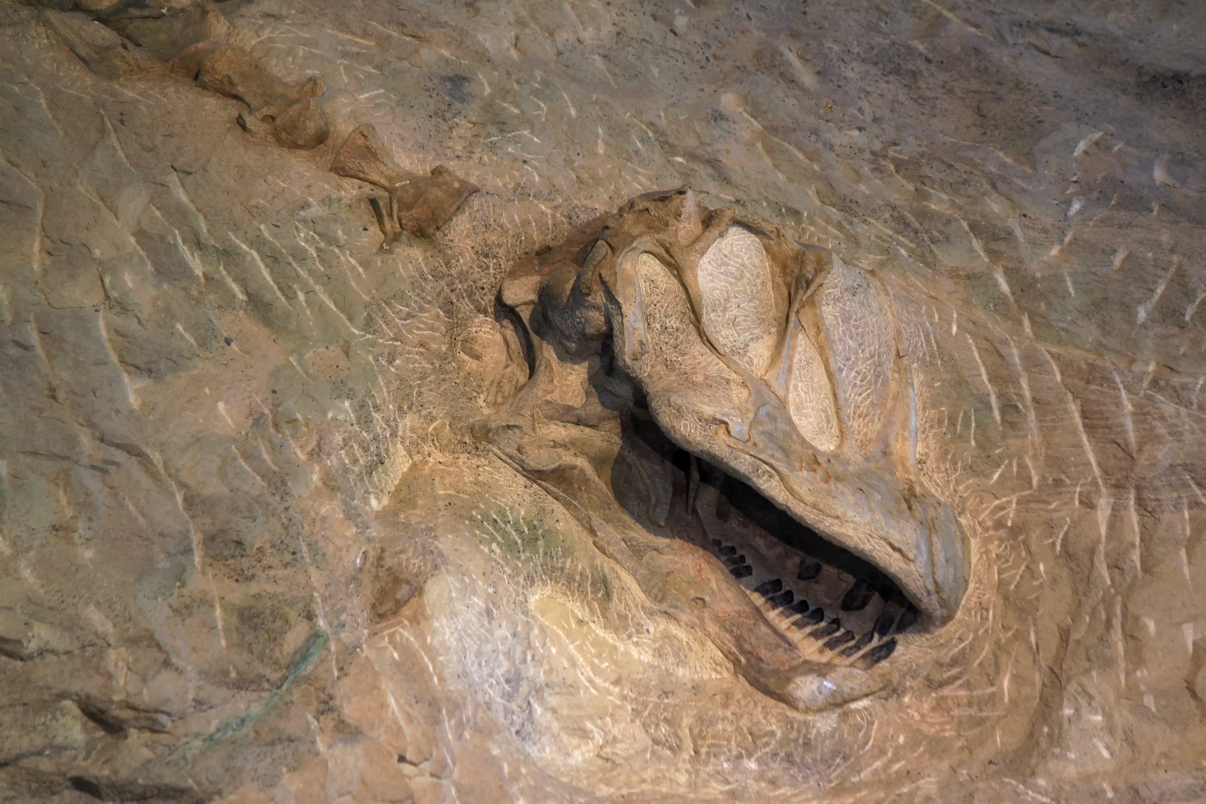
Apatosaurus louisae is a species of sauropod dinosaur from the Late Jurassic of North America found in the Morrison Formation, and its remains are present on the Wall of Bones at Dinosaur National Monument. Apatosaurus grew up to 69 ft (21 m) long and ate plants. You may have heard it referred to by its scientifically incorrect name, Brontosaurus. This sauropod (long necked dinosaur) was discovered and named Apatosaurus, or "false lizard," because of its unbelievably large size. After Apatosaurus was named, other sauropod specimens were named Brontosaurus. It was later determined that both names actually referred to the same animal, Apatosaurus. In science the first used name is the official name. A skeleton of Apatosaurus louisae was the first dinosaur to be excavated at the quarry by Earl Douglass, and was found by eight vertebrae sticking out of the rock. The species "louisae" was named after Andrew Carnegie's wife, Louise. Carnegie financed most of the excavations of the quarry at Dinosaur and had many of the specimens sent to Pittsburgh, Pennsylvania, where they still stand in the museum that bears his name. The "Discovery Bones" that led to the discovery of the Carnegie Quarry were tail vertebrae (back bones) of Apatosaurus louisae. This specimen, a nearly complete skeleton with a skull, became the type specimen of Apatosaurus louisae. This means that it was the first of its species ever found and scientifically described.Like many sauropods and dinosaurs in general, Apatosaurus skulls are extremely rare. The skull bones are thin and easily crushed. Skulls are mostly hollow to hold soft tissues that cannot be preserved. Fine sediments compress the skull to flatten it the way you might step on an empty tin can. These skulls may be preserved, but some of the three-dimensional structure is lost. The only Apatosaurus skull in the world was found in the Carnegie Quarry because the sand-sized sediment preserves bone in great detail without compressing it. Today a cast of the Apatosaurus skull is still on display with the rest of the specimen at the Carnegie Museum of Natural History in Pittsburgh, Pennsylvania. The real skull is not on display due to the fragile nature of the bone.
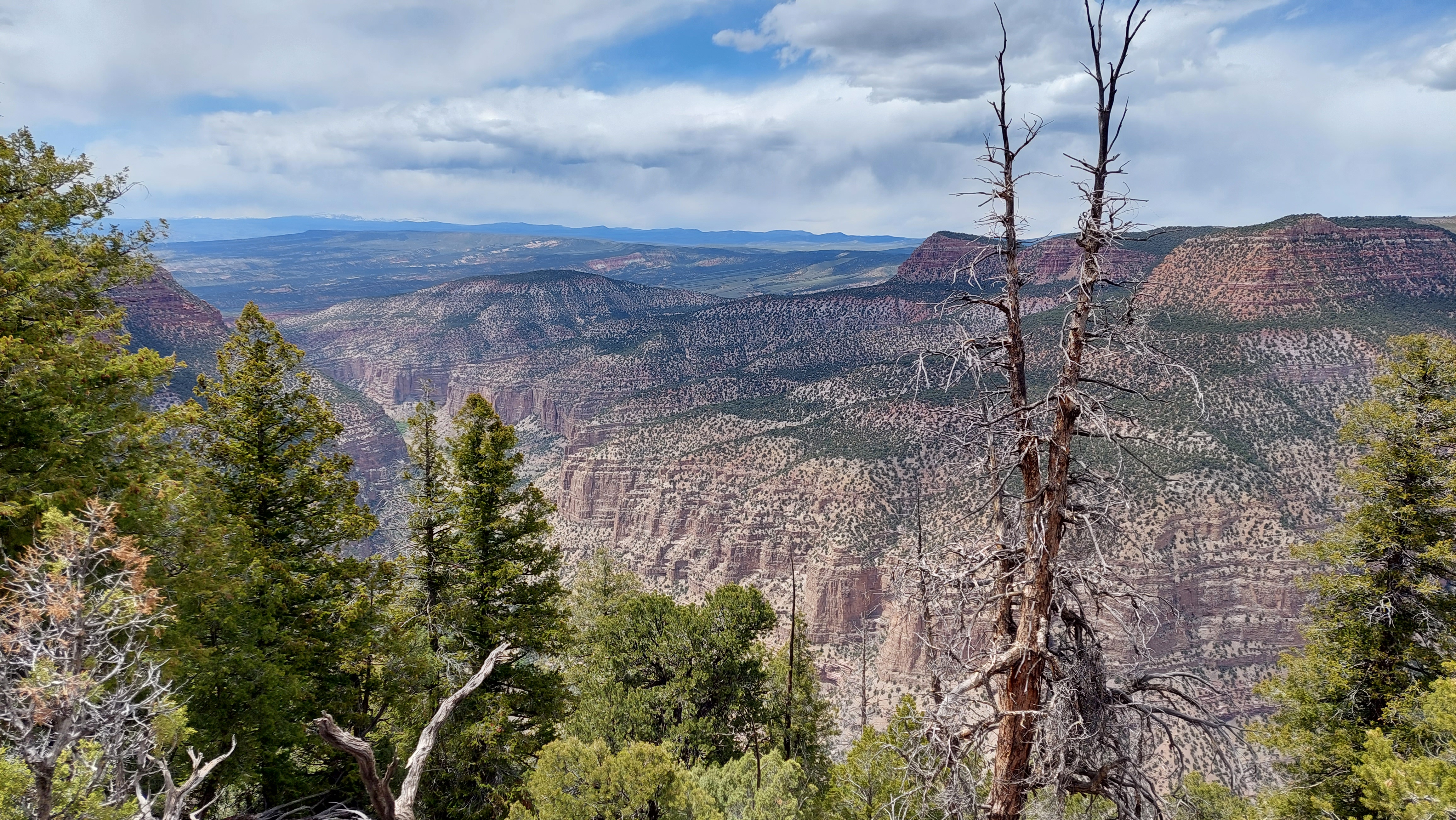
Harpers Corner Trail Stop 7
Have you noticed the contrast between the rocks of Whirlpool Canyon to the west with the rocks of the Yampa Canyon to the east? Whirlpool’s walls are dark and sheer and are made up mostly of limestones and shales left by ancient seas. As the seas retreated, windswept sand dunes piled up to become the light colored Weber sandstone of the Yampa Canyon’s cliffs and domes. When geologic forces uplifted this area to its present elevation, faulting occurred. The rock layers were bent and broken as some blocks of land were pushed higher than others. You are standing on the edge of one of the high blocks from which the younger sandstone has been eroded away. In the low block to the east erosion has not progressed as far. The older limestone and shale are still buried beneath the sandstone, Faults contribute to the vastly different appearance of each canyon.
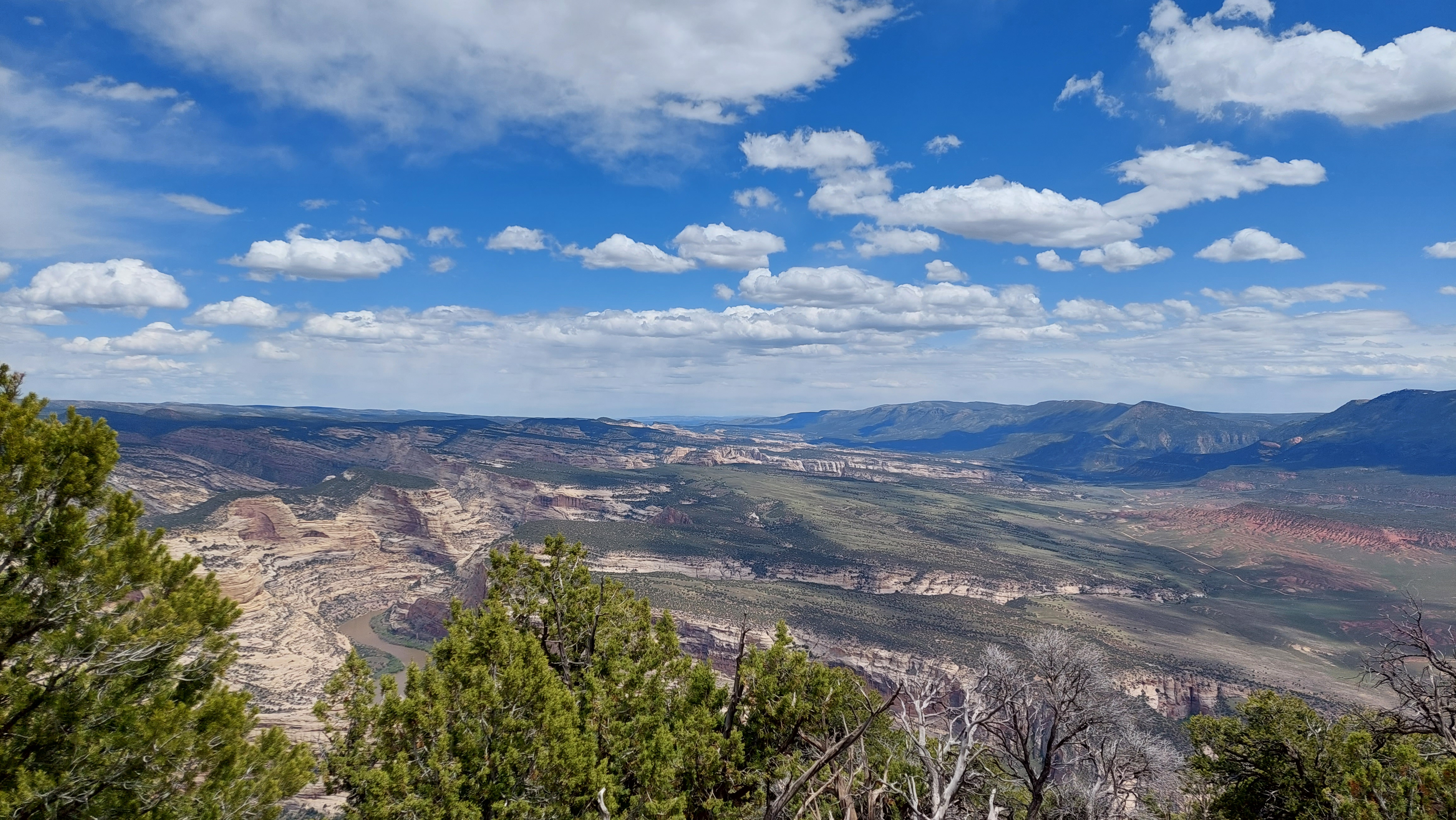
Harpers Corner Trail Stop 8
Can you pick out the course of the Yampa River? Its junction with the Green River is hidden by the ridge of Steamboat Rock, and above that, the river is lost in a maze of sandstone. Such a winding course is more typical of a slow, sluggish stream flowing across flat land than of a swift canyon cutting river. Some geologists have suggested that the Yampa River had already established courses on fairly level land before the region was uplifted. The rivers held course and sliced down through the rocks even as the land rose, forming deep, winding canyons.
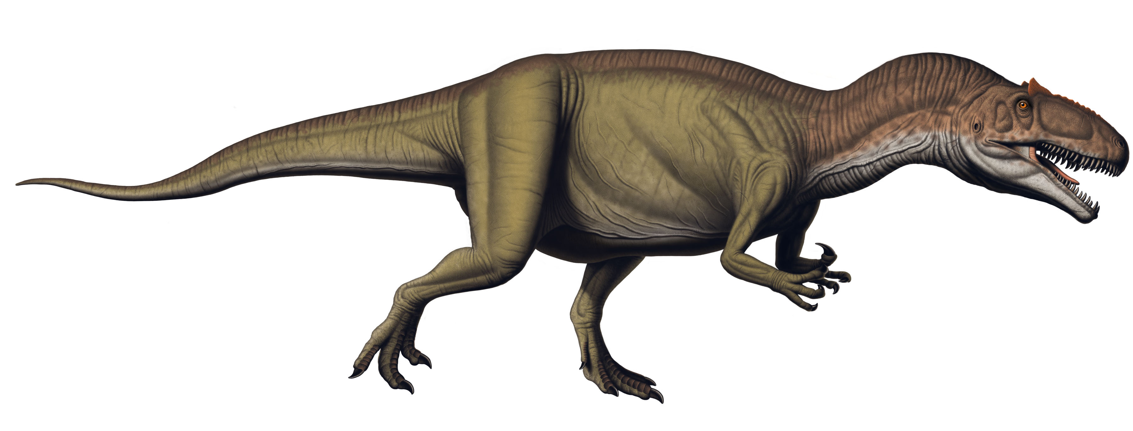
Allosaurus fragilis
Allosaurus, meaning "different delicate reptile," is a theropod (meat-eating dinosaur) that probably ate other smaller dinosaurs. Its teeth were up to 3 in (7.6 cm) long and serrated like steak knives for cutting flesh. Adults hunted by overpowering their prey, possibly in small groups. Juvenile Allosaurus relied on their longer limb bones that were better adapted to running in order to hunt smaller vertebrates. Even though Allosaurus grew up to 30 ft (8.5 m) in length, it was not the largest predator of the time. Its sharp teeth and hook-shaped claws did, however, make Allosaurus a nightmare for many creatures of the Jurassic. Allosaurus fragilis is the most common species of carnivorous theropod dinosaur in the Morrison Formation from the Late Jurassic of North America. Although only a few of its bones are exposed in the present day quarry at Dinosaur, one of the best skeletons ever found came from the Carnegie Quarry including a remarkably preserved skull that is currently on exhibit in the Quarry Exhibit Hall. Dinosaur skulls are rarely preserved because they are made of very thin bone that is easily crushed. Skulls are mostly hollow to hold soft tissues that cannot be preserved. Fine sediments compress the skull to flatten it the way you might step on an empty tin can. These skulls may be preserved, but some of the three-dimensional structure is lost. The sand-sized sediments in the Carnegie Quarry are fine enough to preserve bone in great detail but coarse enough to resist compression of the skulls. Allosaurus fragilis is one of three theropods found in the Carnegie Quarry, the others being Ceratosaurus sp. and Torvosaurus tanneri.This specimen of Allosaurus fragilis has attracted the attention of paleontologists around the world and has been referenced in many scientific studies. You don't, however, have to be a scientist to marvel at this beautiful specimen. The real skull is on display at the Quarry Exhibit Hall.
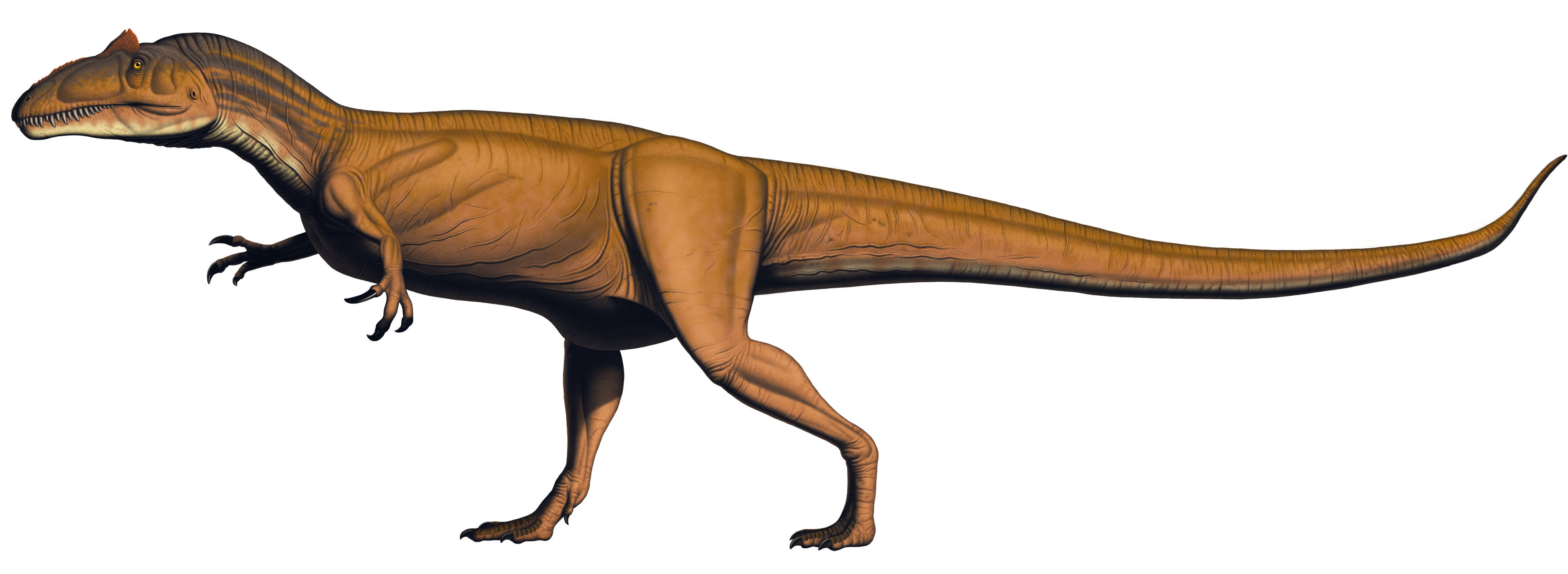
Allosaurus jimmadseni
Allosaurus jimmadseni is the second species of Allosaurus found at Dinosaur National Monument. The first specimen of A. jimmadseni was found in the monument. It is much rarer than Allosaurus fragilis and they differ in their skeletal details. Allosaurus, meaning "different reptile," is a theropod (meat eating dinosaur) that probably ate other smaller dinosaurs. Its teeth were serrated like steak knives for cutting flesh. Adults hunted by overpowering their prey, possibly in small groups. Juvenile Allosaurus relied on their longer limb bones that were better adapted to running in order to hunt small vertebrates. Allosaurus was not the largest predator of the time, but its sharp teeth and hook-shaped claws made Allosaurus a nightmare for many creatures of the Jurassic. Only half of an Allosaurus jimmadseni skull has been found so far. However, the skull separated along its natural midline. Although only the left half of the skull is preserved, it shows both the outside shape and the internal structures, which are rarely seen. The entire braincase is present as well as both ear bones. For the first time in any Allosaurus the wishbone is in place. This Allosaurus jimmadseni is most complete Allosaurus of any species ever found.
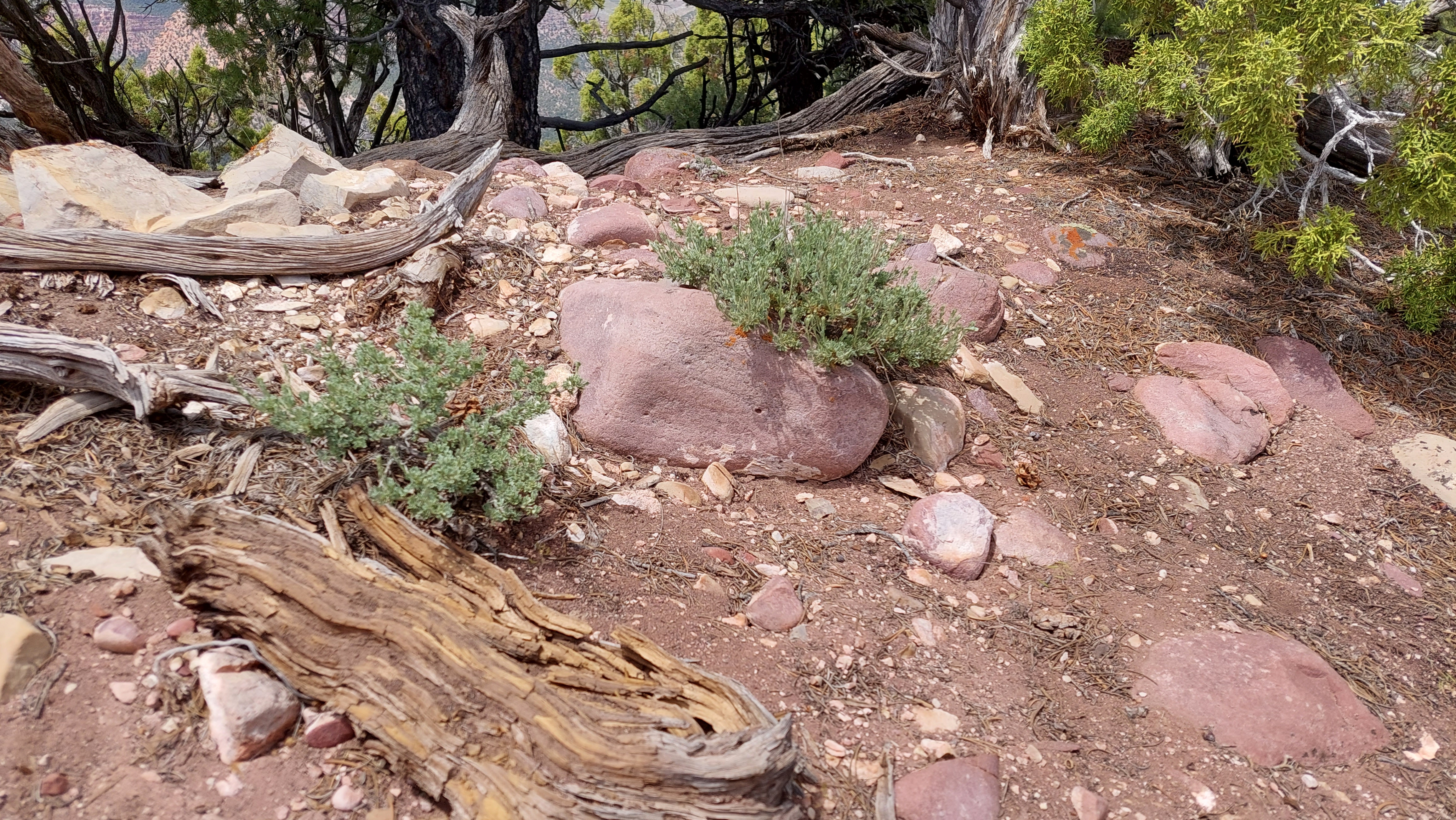
Harpers Corner Trail Stop 9
The reddish rocks alongside the trail are made of a hard sandstone called quartzite, which also appears at the very bottom of Whirlpool Canyon. Did they roll up here from down there? Not likely, but their rounded shape does suggest that they rolled a long way from somewhere. The same quartzite forms much of the Uinta Mountains west of here, so these rocks may have been washed down from the mountains long before the Green River had carved Whirlpool Canyon. Now, stranded far from their source; they add another element of mystery to a landscape which has puzzled geologists since Powell’s time.
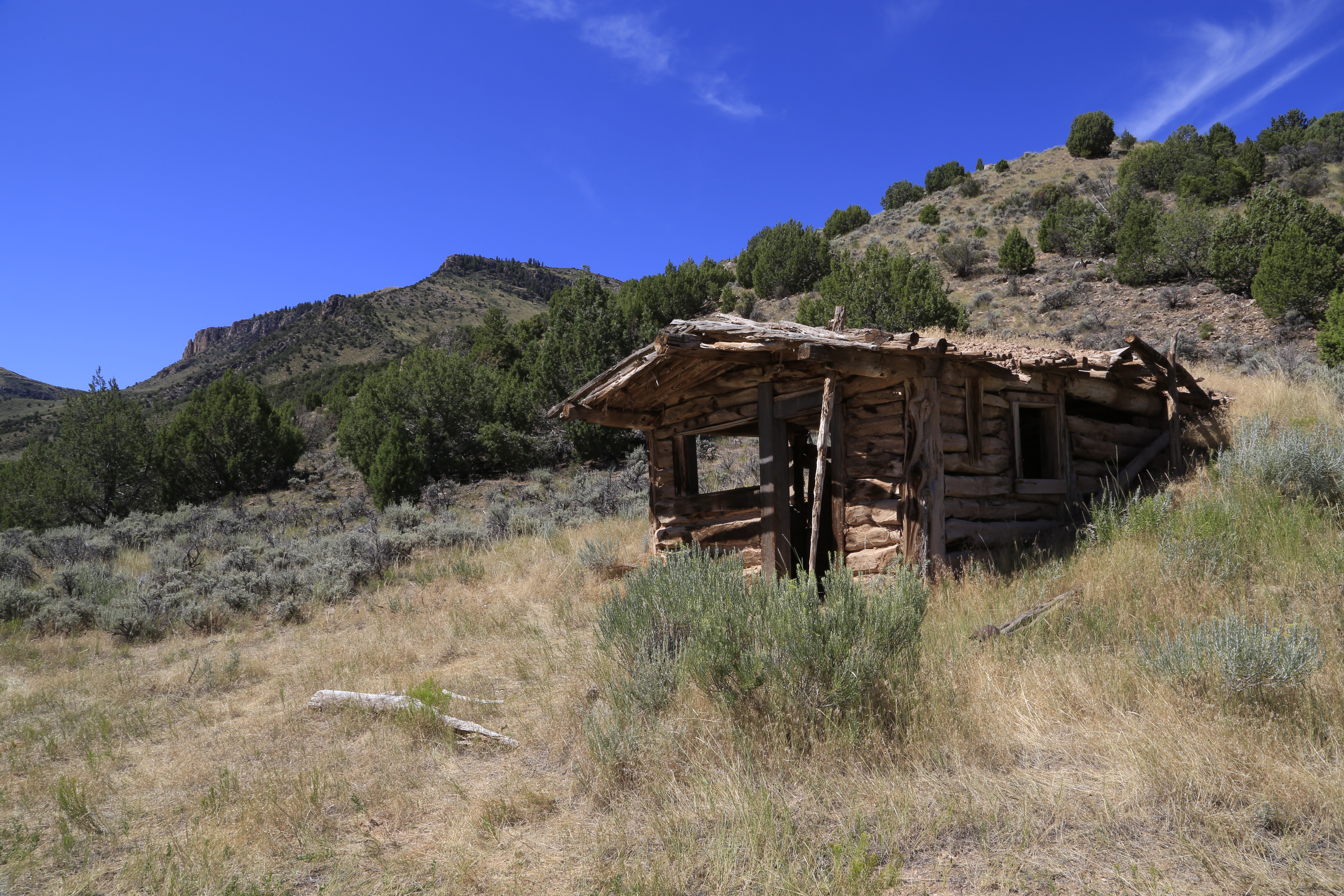
Baker Cabin
Sitting high above the Yampa River in a remote side canyon, the Baker Cabin is a testament to the resilence of people who sought to settle homesteads in this remote landscape.
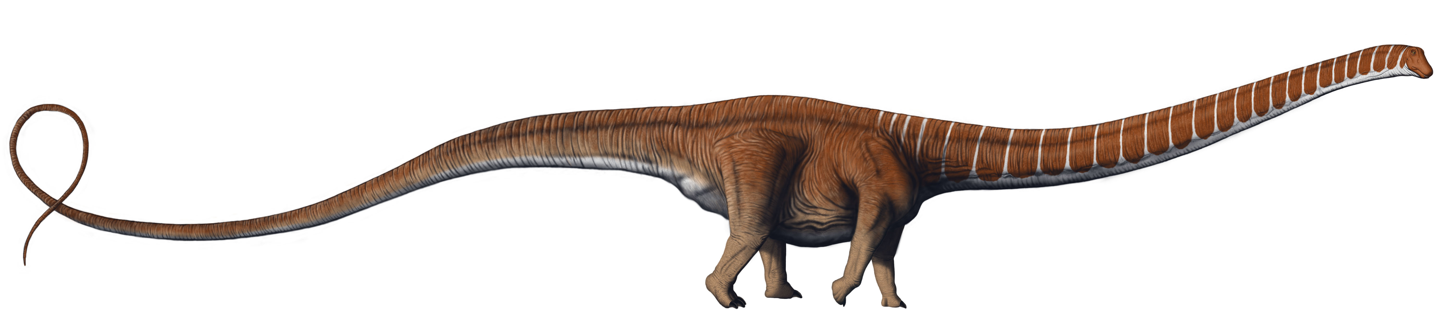
Barosaurus lentus
Barosaurus is a plant eater and the least common of all the sauropods (long-necked dinosaurs) found in the Carnegie Quarry. It is similar to Diplodocus, but has a longer neck and shorter tail. The forelimbs of Barosaurus are longer and more slender than those of the Diplodocus. Unfortunately, no one has ever found a Barosaurus skull so those on display are based on the skulls of other sauropods. The most complete real Barosaurus skeleton on display is at the Royal Ontario Museum in Toronto, Ontario, Canada. It was also found in the Carnegie Quarry and acquired as part of a trade between museums. One of the boxes contained a surprise: an eight inch square imprint of Barosaurus skin attached to a limb bone! Dinosaur skin imprints are extremely rare but helpful in determining how dinosaurs might have looked. You can see the original skin imprint with the skeleton on display at the Royal Ontario Museum.
Beginning Dinosaur's Fossil Discovery Trail
Like chapters in a book, the geologic formations (layers) on this tilted rock trail are chapters of ancient environments deposited here over millions of years. While standing behind the Quarry Visitor Center, look at the Frontier Sandstone cliff beside you. High above the trailhead sign and on the cliff, notice the wavy ripple marks within the large dark brown patches. These ripples were created when water moved over sand. If you were hiking here approximately 100 million years ago, you would have been walking along the sandy shores of the Cretaceous Interior Seaway. Cretaceous Atlas of Ancient Life | Geology A vast difference from the high desert environment of today! On the ground, behind and to the left of the trailhead sign is another notable feature, a huge chocolate-colored rocky sphere known as a concretion. This concretion also has a delightful star-shaped crack that filled in with minerals which crystalized. Concretions are masses of mineral matter embedded in the sandstone. They often form when minerals settling out ground water gather around a nucleus, such as a pebble or shell. Concretions can be any size, but the hefty dimensions of this one (and others here) is due to the presence of large amounts of water from the former seaway. While staying on the trail, there are a number of other large concretions in this area How many others can you locate? Hint: There are five others, but some are badly weathered and have broke apart. As you proceed along the Frontier Formation, you may see animals such as squirrels, marmots, birds, rabbits, snakes, or lizards. NPSpecies- Search for a Park Species List Keep wildlife wild and yourself safe by observing all creatures from a distance. Once you reach the end of the Frontier Formation, just around the corner, you'll see how ancient people used the geology here. Petroglyphs were pecked into this rock with tools to make symbols of people, animals or patterns. Pictographs are painted symbols. These were created approximately 1,000 years ago by ancient people archaeologists call the Fremont. Fremont Culture - Dinosaur National Monument (U.S. National Park Service) (nps.gov). Since the Fremont did not have a written language (as did the Egyptians for example, with their hieroglyphs) the exact meaning of the Fremont symbols is unknown. Help us protect these and all petroglyph sites for future generations by not touching them. Hike on to discover the next chapter in our ancient book - the Mowry Shale Formation.
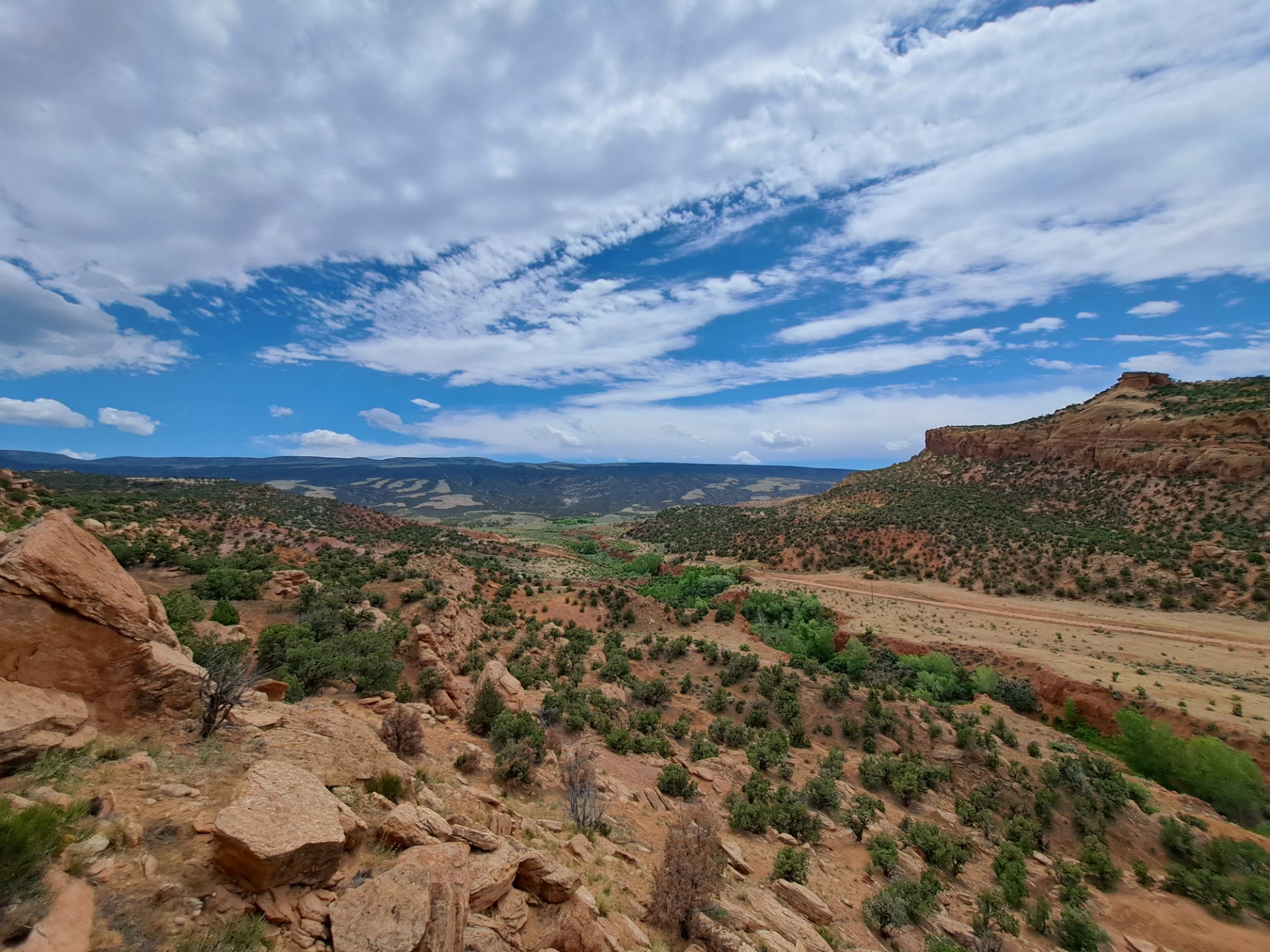
Blue Mountain Road
The Blue Mountain road is steep, rough, and suitable only for 4-wheel drive vehicles with off-road tires that leaves the monument. It climbs about 3000 feet to the top of Blue Mountain. This mountain offers dramatic views of the area. The summit also harbors a relict woodland called Point of the Pines. Some mountaintops in this area contain small groves of conifers like ponderosa pine only on the very top. During the last ice age these trees were much more widespread in the region. With a warmer and drier climate during the last 10,000 years, these trees are now restricted to mountaintops where they find just enough moisture to survive.
Visitor centers

Canyon Visitor Center - Colorado
Located near Dinosaur, Colorado, at the base of the Harpers Corner Road, the Canyon Visitor Center is the gateway to the monument's mountains and river canyons. This building is open in summer and closed during the winter. Exhibits and a park film orient visitors to resources, and staff are available to answer questions. A bookstore sells items that can further enhance your experience. Restrooms and water are available seasonally. There are no dinosaur fossil sites on this side of the park.
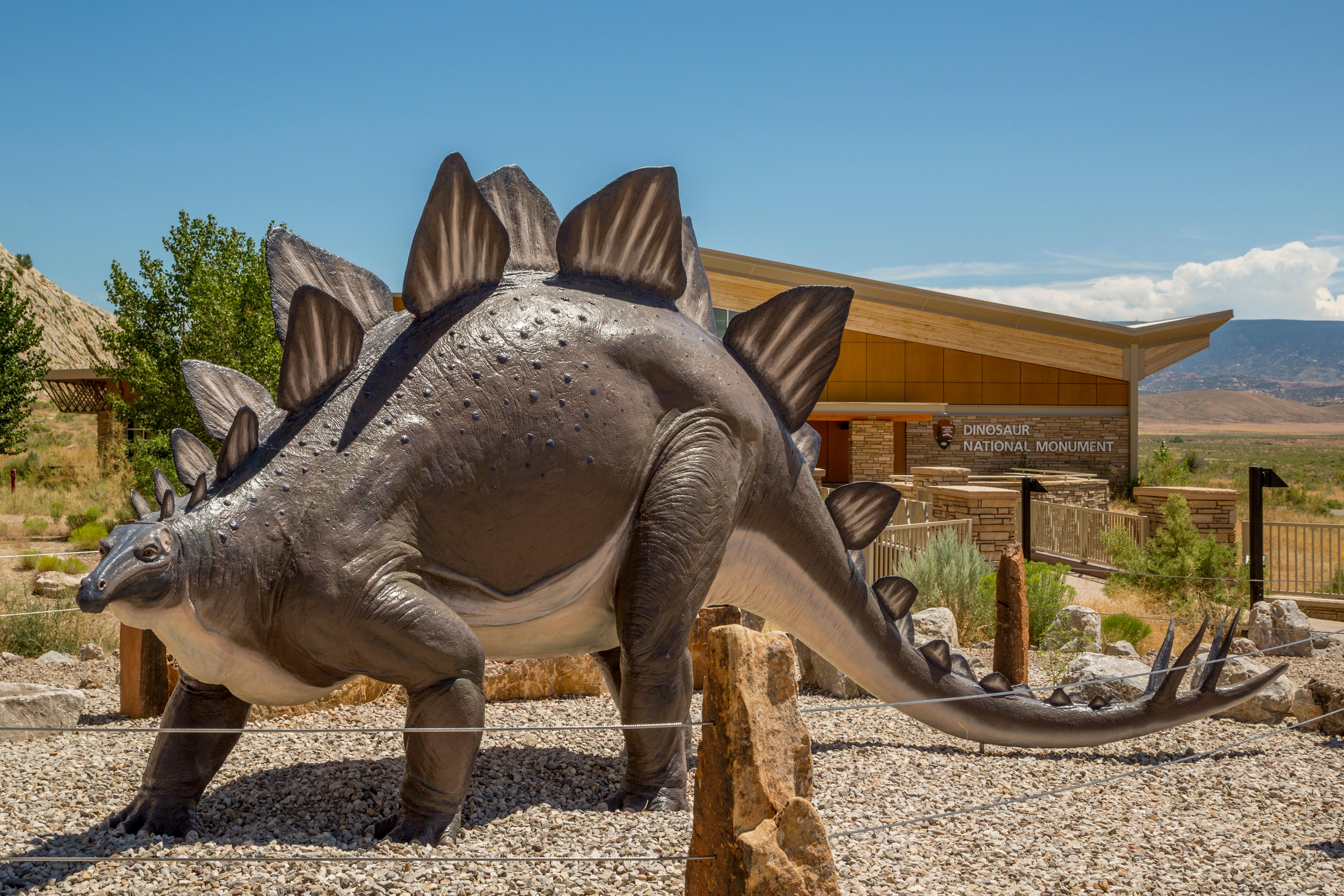
Quarry Visitor Center - Utah
Located 7 miles (11 km) north of Jensen, Utah, off Highway 149, the Quarry Visitor Center is the gateway to the Quarry Exhibit Hall and the wall of dinosaur bones. This facility features a staffed information desk, gift shop, and theater with a 12-minute park film. Exhibits introduce a variety of resources and places to explore within the monument. During summer, shuttle buses depart from here for the Quarry Exhibit Hall. This building is open year-round, except on certain holidays. Hours change seasonally.
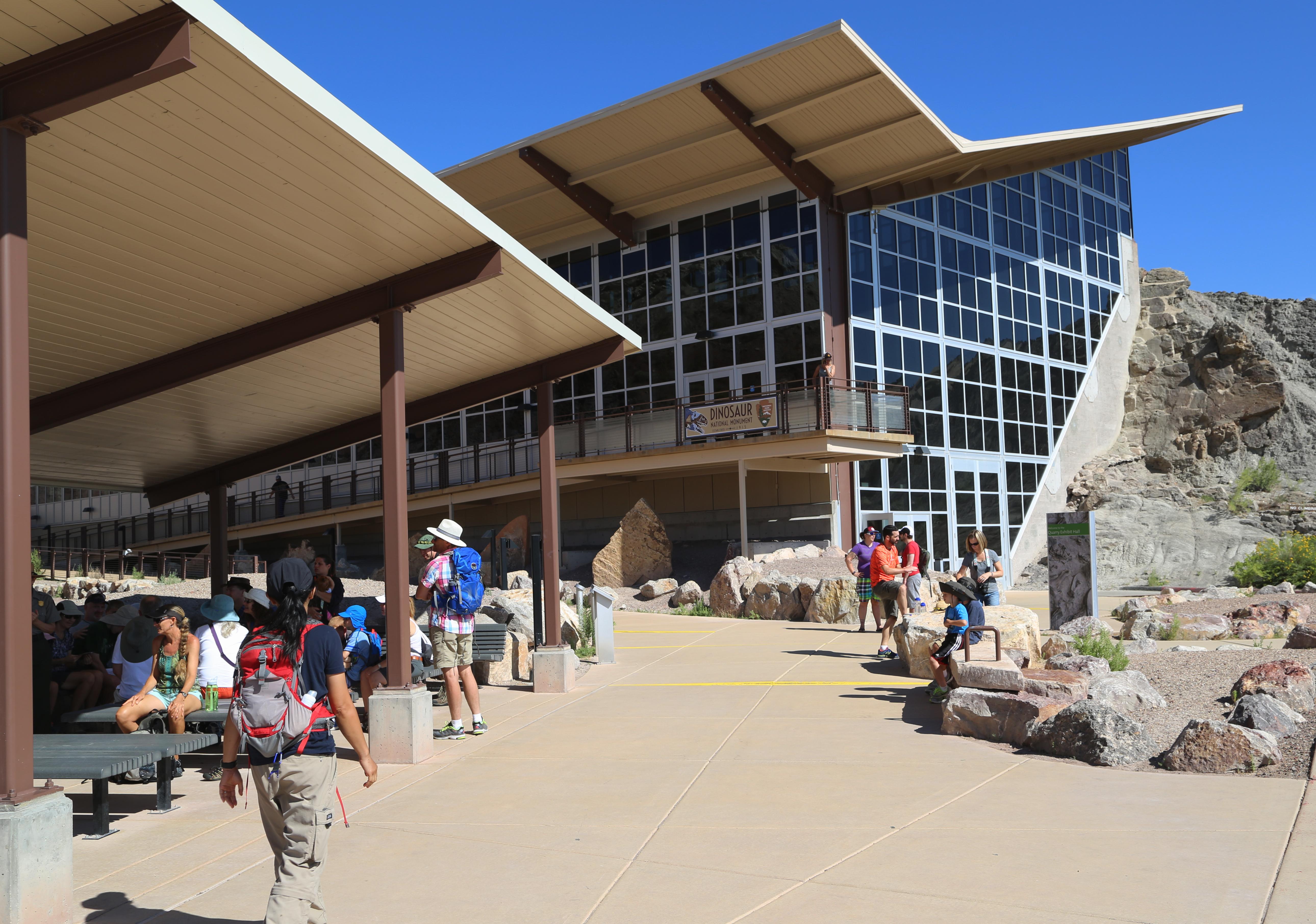
Quarry Exhibit Hall - Utah
The Quarry Exhibit Hall is where you can see a wall of approximately 1,500 dinosaur bones. This includes the remains of numerous species, such as Allosaurus, Apatosaurus, Camarasaurus, Diplodocus, and Stegosaurus. Exhibits, including an 80 foot (24 m) long mural, reveal the story of the many animals that lived in the Morrison environment during the Late Jurassic. This building is open year-round, except on certain holidays. Hours change seasonally.
Park stories
What Ten Years of Vegetation and Soils Monitoring Reveals at Dinosaur National Monument
NPS Geodiversity Atlas—Dinosaur National Monument, Colorado and Utah
Three Parks, One Vital Ecosystem
Why Dinosaur Skulls Are Rare
Outside Science (inside parks): Taking the Pulse of a Wild River
Invasive Exotic Plant Monitoring at Dinosaur National Monument
For the Love of Monarchs: How We Joined the Push to Save a Beloved Butterfly
Dinosaur National Monument unites CSU’s ‘range’ of expertise
Plan Like a Park Ranger - Top Tips For Visiting Dinosaur
Fantastic Camarasauruses (from Dinosaur National Monument) and Where to Find Them
Invasive Exotic Plants and River Regulation at Dinosaur National Monument
Predicting Vegetation and Topographic Change in Response to Altered River Flows on the Northern Colorado Plateau
Webcams
Park information courtesy of the National Park Service Data API.