
National Historical Park
Golden Spike National Historical Park
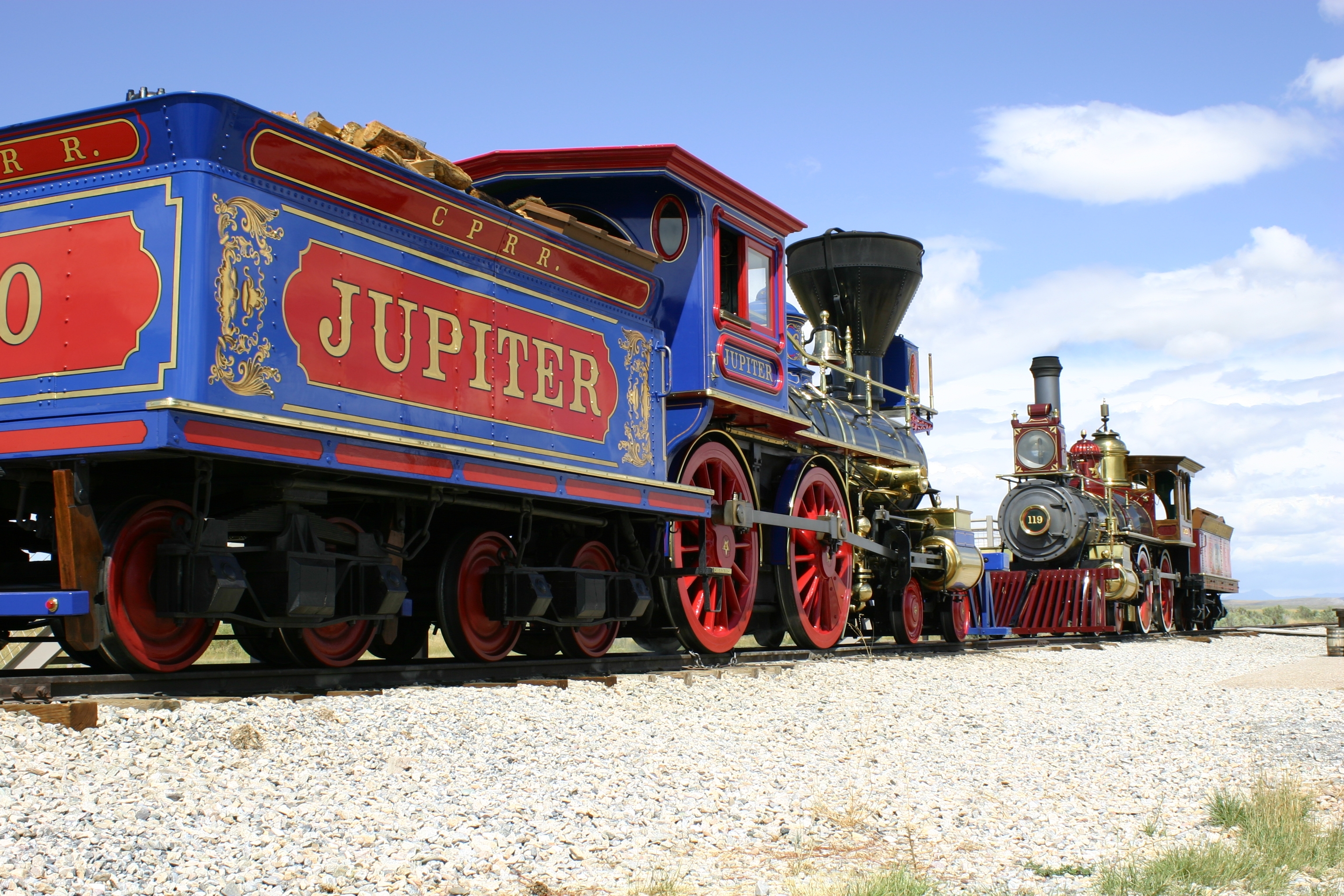
One of the greatest technological achievements of the 19th century is the completion of the first transcontinental railroad across the United States. Visitors to the park can see the location of the Last Spike Site, 1869 railroad construction features, walk or drive on the original railroad grade, and get an up close view of Victorian era replica locomotives.
Official NPS pageHours
Summer and Winter The Park Visitor Center features exhibits, a theater, bookstore, picnic areas, and a welcoming staff that will help visitors get the most out of their trip. Summer, from early-May to late-October the visitor center is open daily, 9:00 AM - 5:00 PM MDT. Winter, from late-October to late-April the visitor center is open five days a week, Thursday-Monday 9:00 AM - 5:00 PM MST, closed Tuesday & Wednesday.
Entrance fees
Entrance - Private Vehicle: $20.00 · Entrance - Motorcycle: $15.00 · Entrance - Per Person: $10.00
Getting there
Golden Spike National Historical Park is 32 miles west of Brigham City, Utah. NB travelers on I-15: use exit 365 and drive west on Utah 13 and 83 through Corinne (follow brown directional signs) to Golden Spike Drive. Turn left and follow signs to the visitor center (8 miles). SB travelers on I-84: use Howell exit 26 and drive south on Utah 83 (follow brown directional signs) to Golden Spike Drive. Turn right and follow signs to the visitor center (8 miles). Lat/Long 41.617410,-112.550986
Things to do
Hike the Big Fill Loop Trail
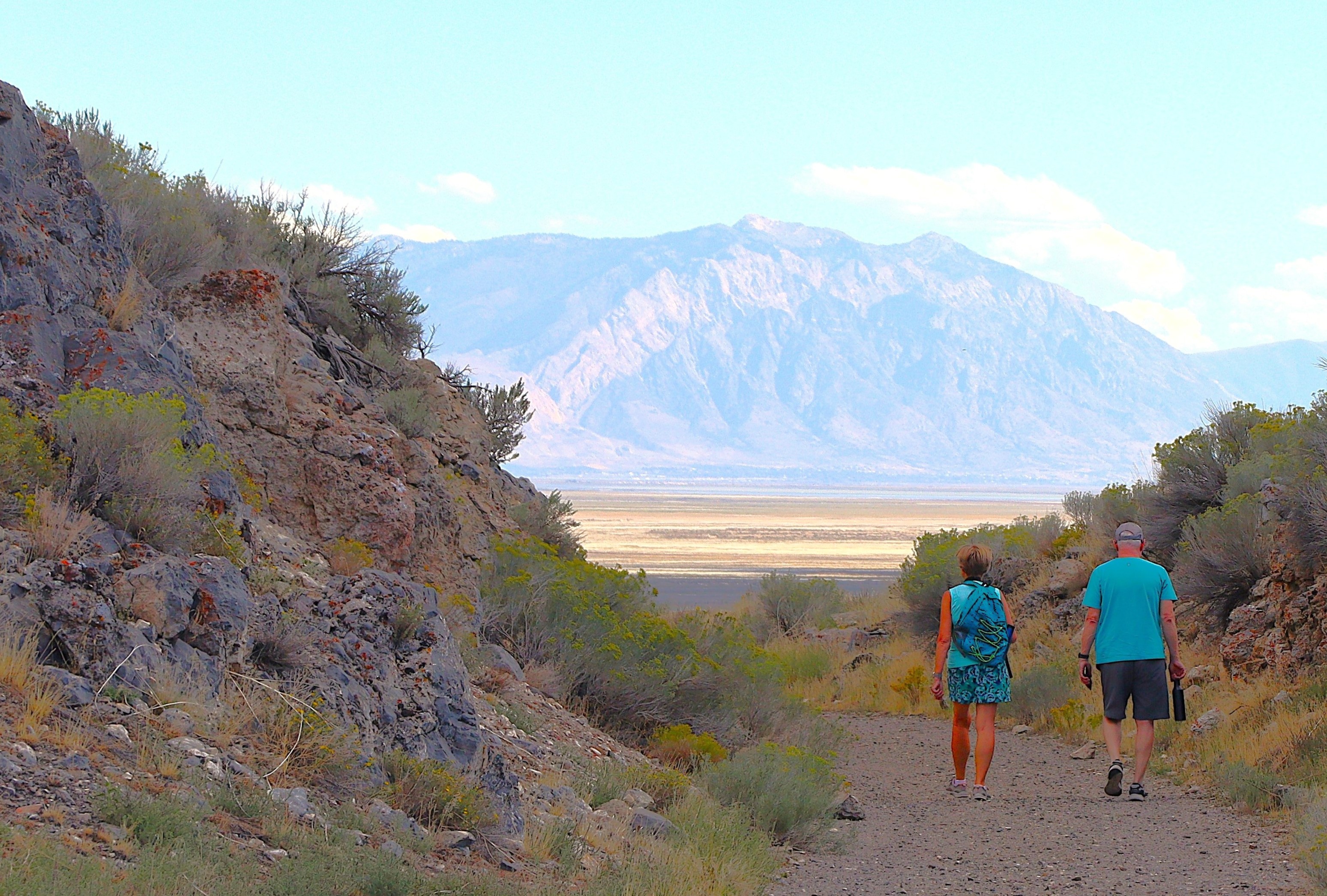
1.5 mile hiking trail that showcases construction techniques for the transcontinental railroad.
Western National Parks Store
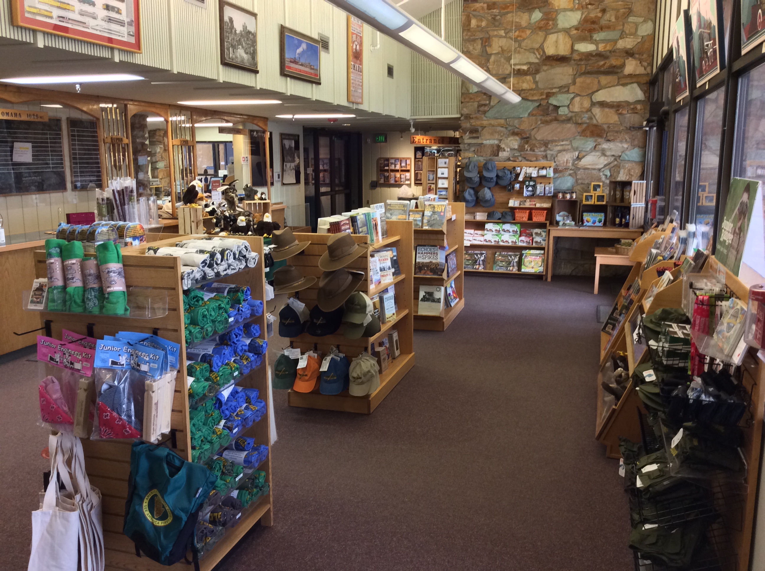
Western National Parks (WNP) is a partner of the National Park Service. WNP supports the ongoing preservation and interpretation efforts at Golden Spike National Historical Park. In addition to various books and educational materials the Park Store offers bottled water and snacks.
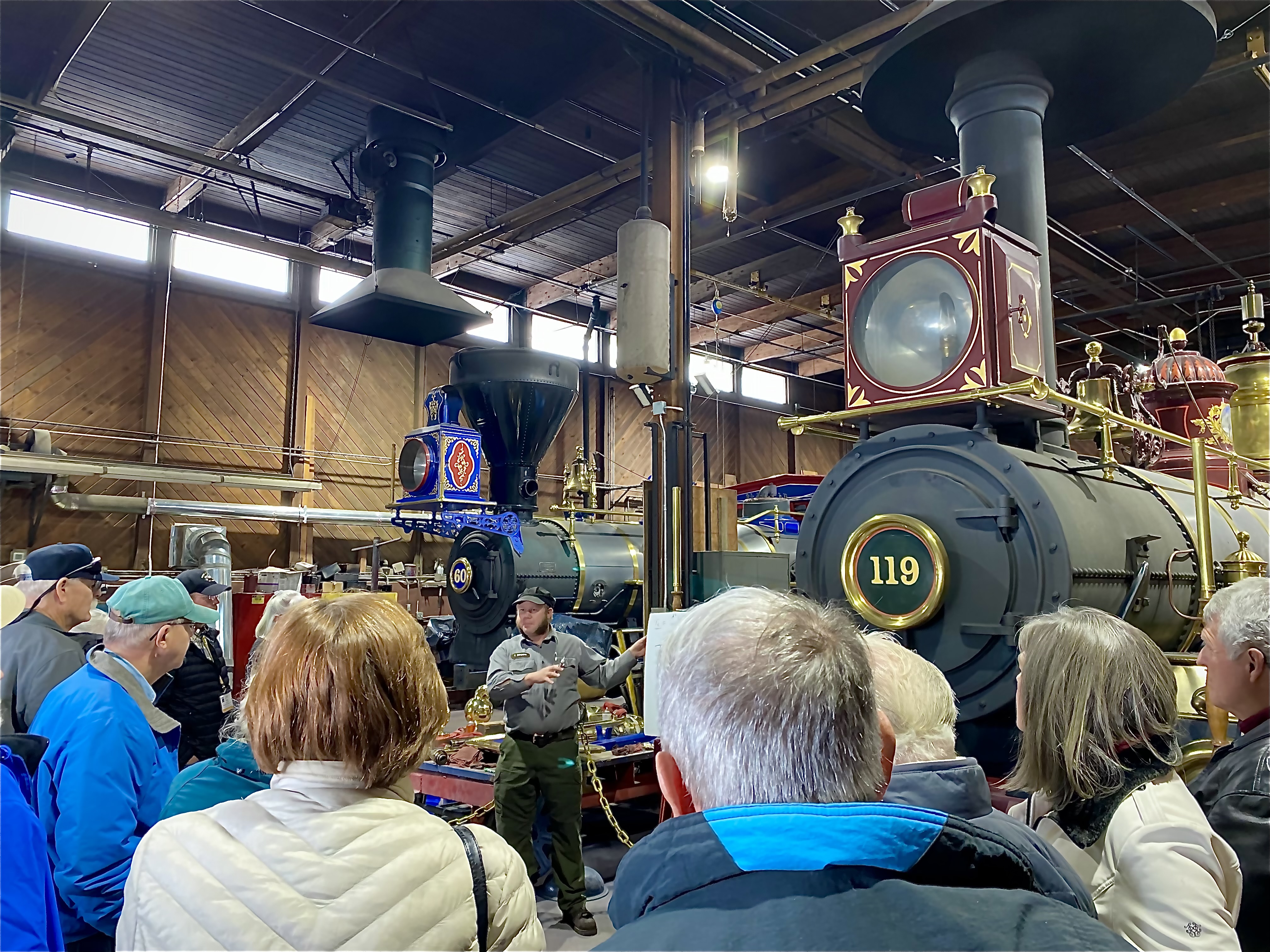
Engine Hour Tours (winter)
Tour visitors meet at Visitor Center at times below to participate in the tour. Mid-October thru Late-April Thursday, Friday, Saturday, Sunday, Monday - ONLY* 10:30 AM 1:00 PM 3:00 PM
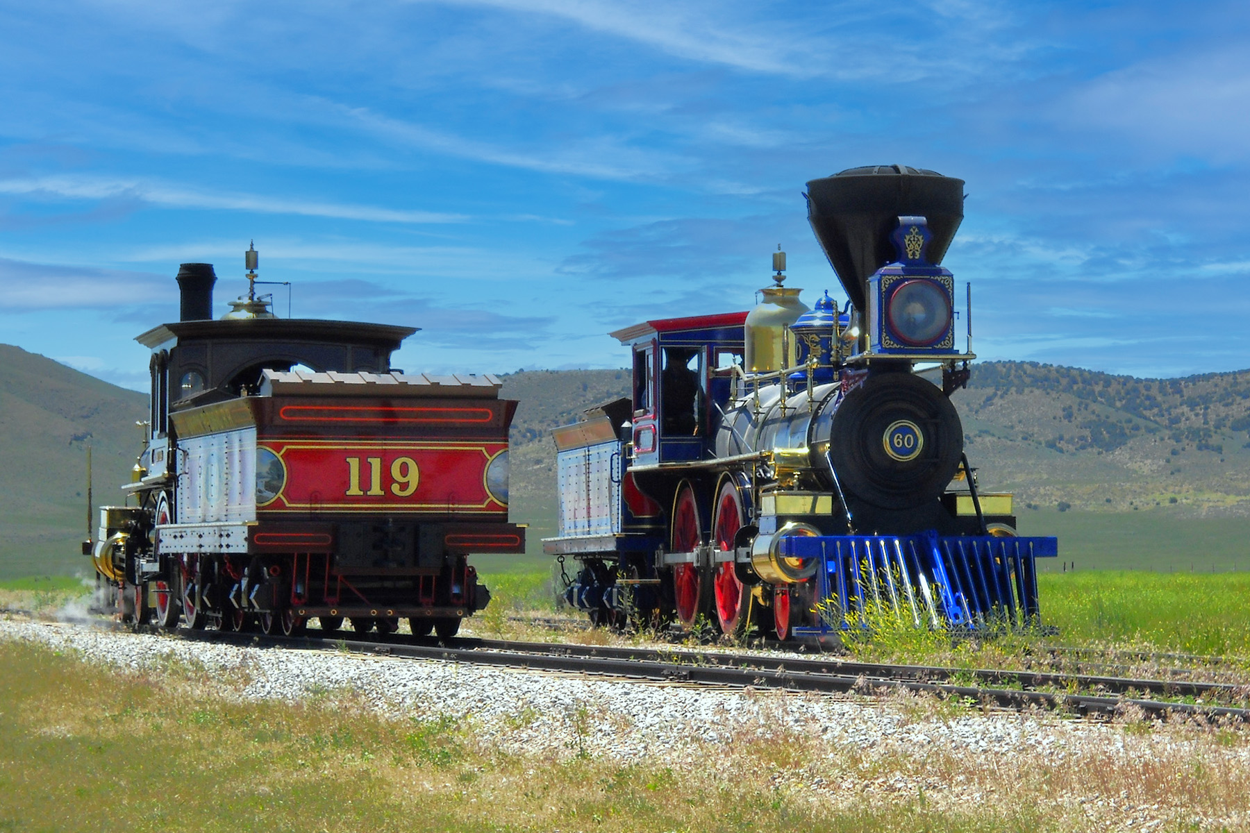
Locomotive Ranger Program
Experience the wonder of classic Victorian steam locomotives and be transported back in time to 1869 when America was newly united the world's first transcontinental railroad. The locomotives will run along approximately two miles of the historic grade where visitors will have the opportunity smell, hear, see and feel the power of these historic machines.
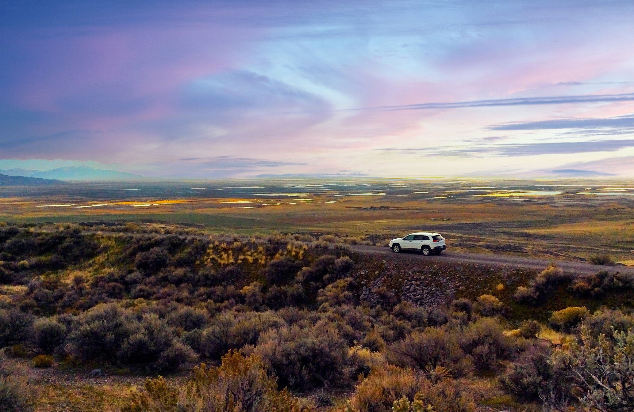
East Auto Tour
The East Auto Tour is two miles long and follows the original Transcontinental railroad grade featuring views of the Wasatch mountains and provides up close examples of railroad construction methods such as earthen fills, railbed cuts, and rock culverts.
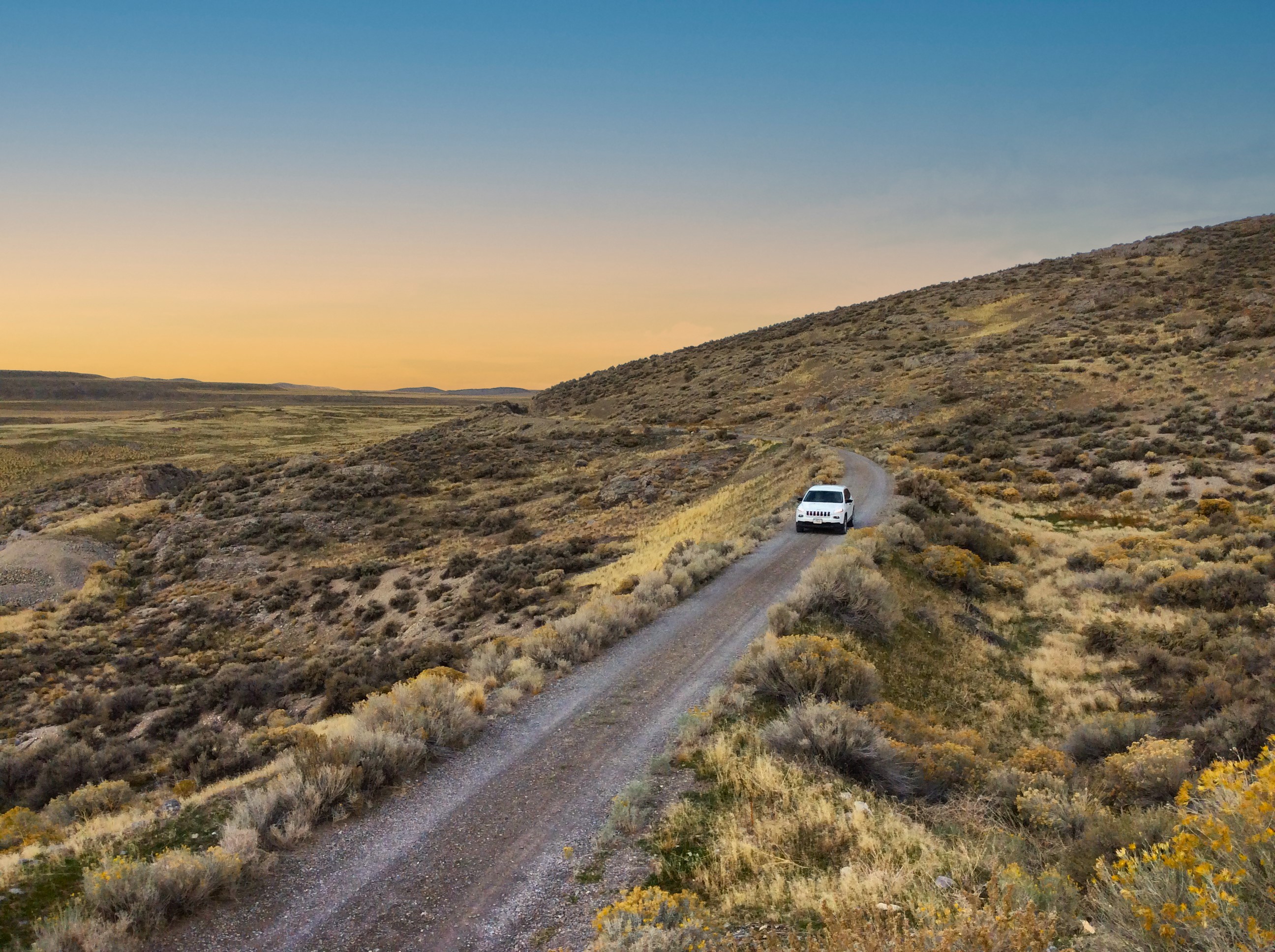
West Auto Tour
West Auto Tour
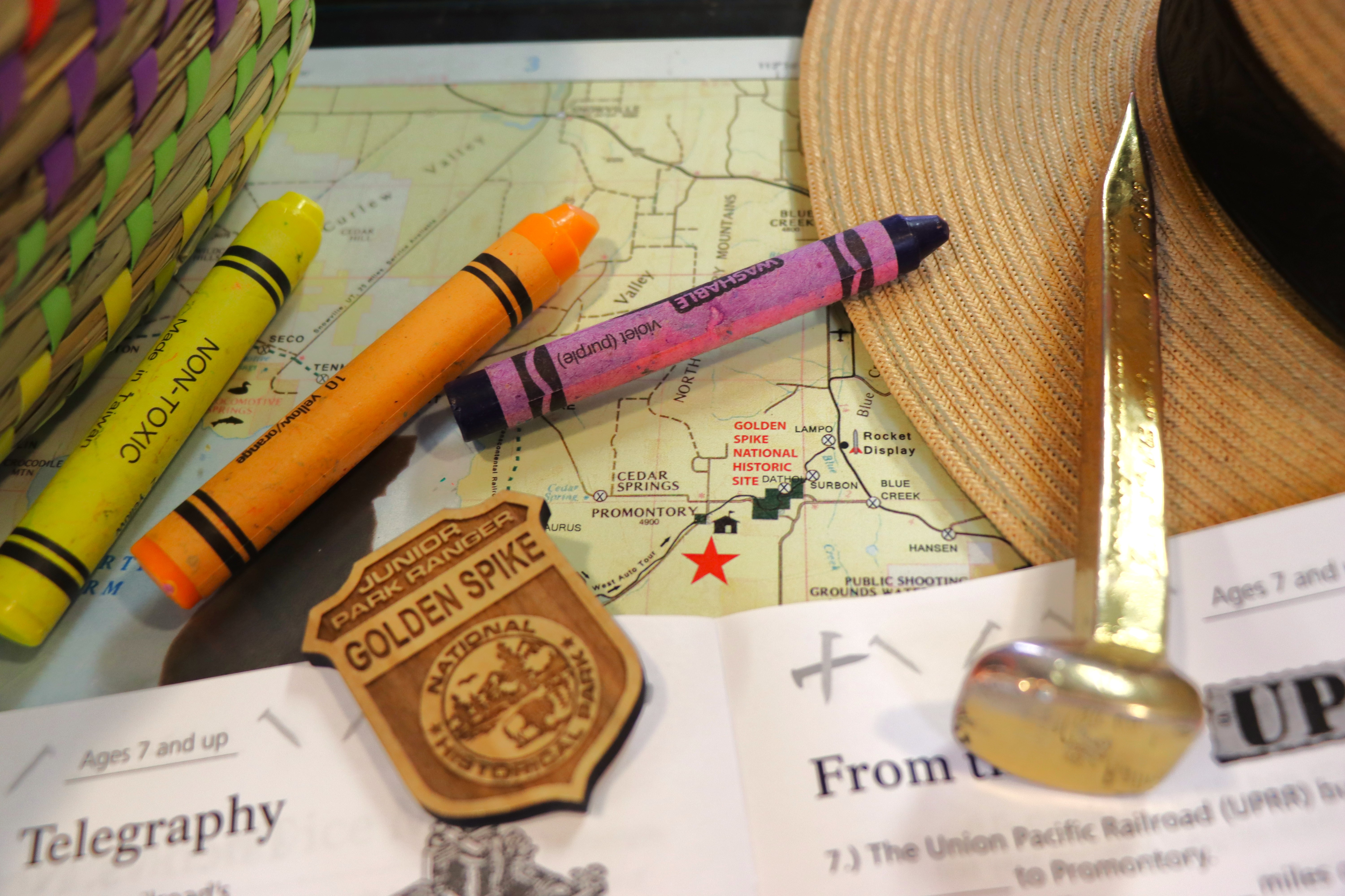
Jr Ranger Program
Golden Spike is proud to offer the Jr Ranger program for visitors wanting to explore the park and the many stories associated with the railroad.
Places to see
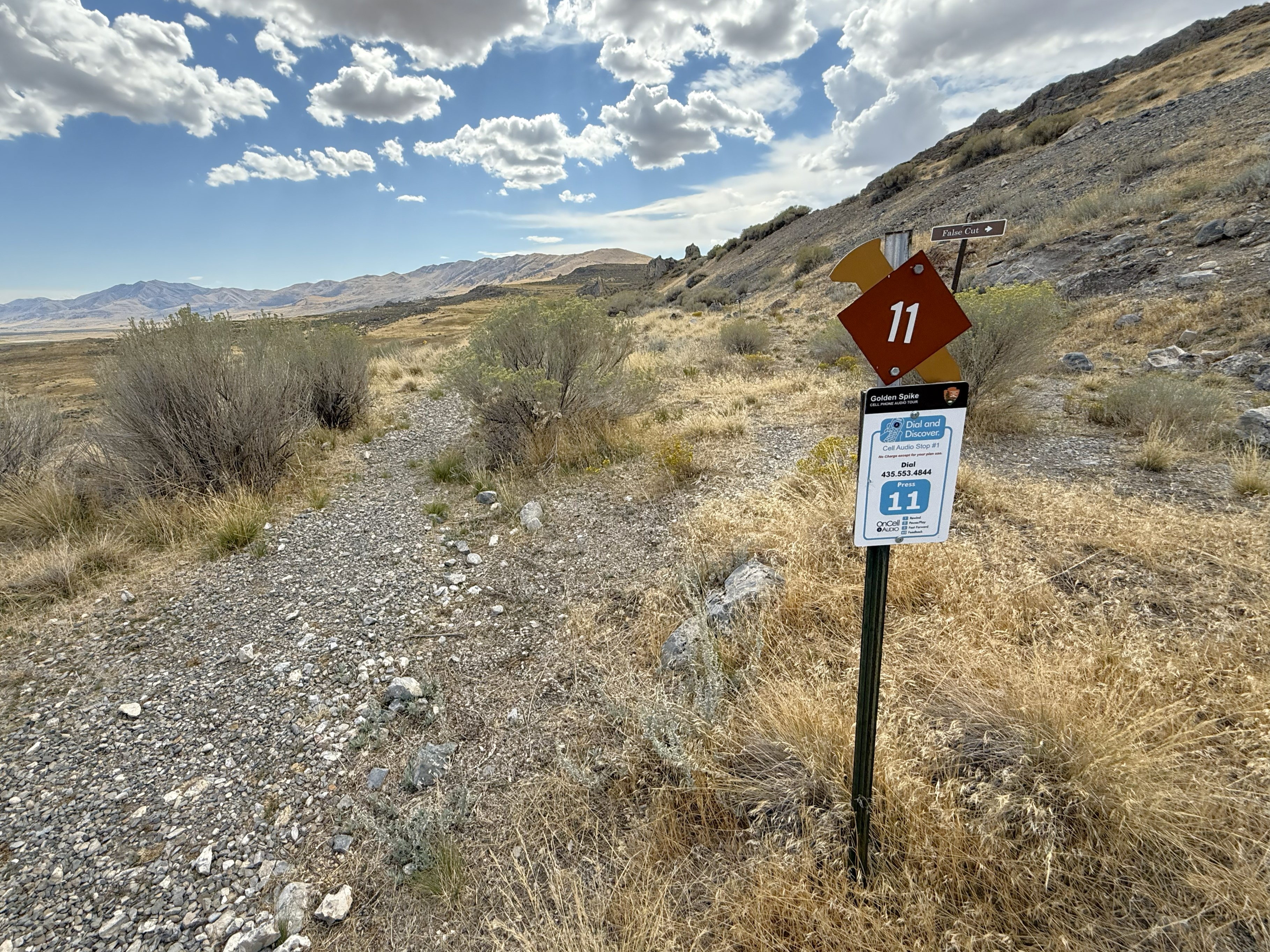
Stop 11-False Cut & Stair-Step Construction
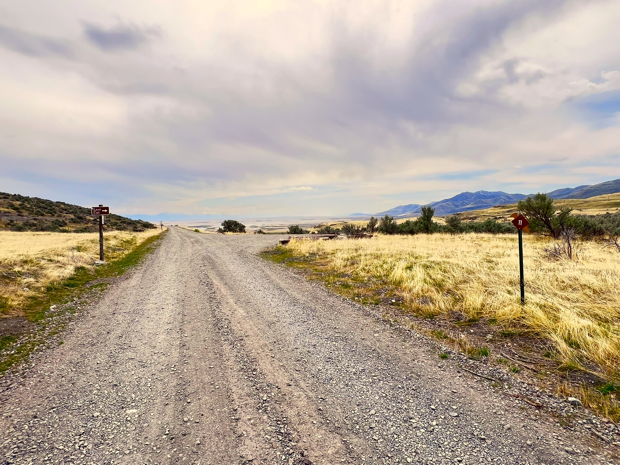
This side of the False Cut is a good example of stair-step construction and how railroad workers blasted their way through the rock to create a finished cut such as Carmichael’s Cut.
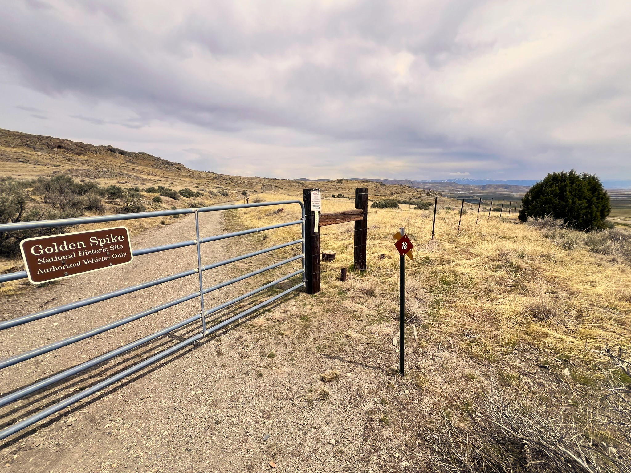
#18 Big Fill and Big Trestle Site
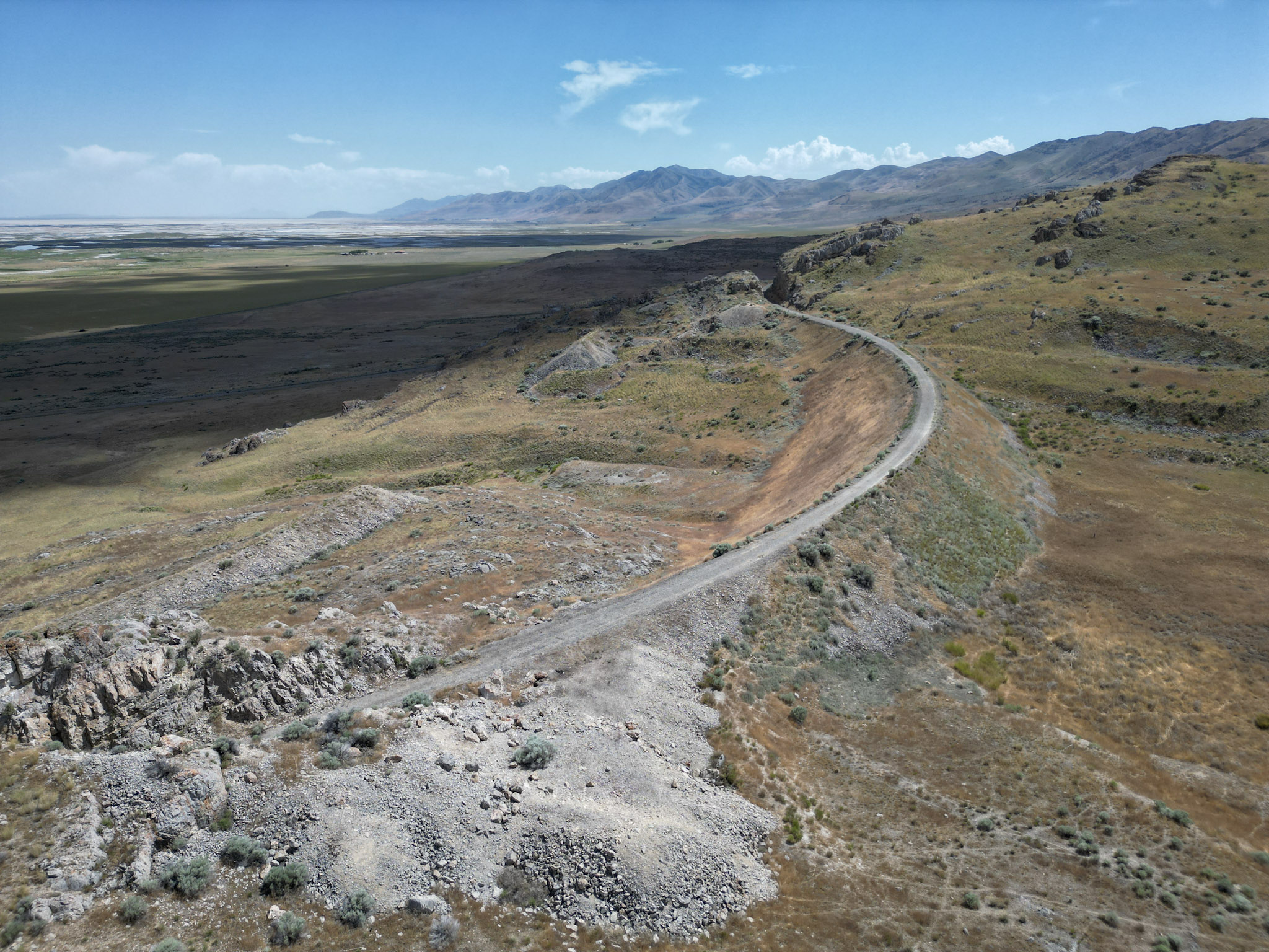
Big Fill and Big Trestle Site This leisurely walk will allow you to see many of the details of railroad construction close-up. Look for drill marks in the deep cuts. These long, straight scars from 1869 are silent testimony to the hurdle over the mountains. You are walking on the Central Pacific grade that was maintained by the railroad from 1869-1942. Early in World War II, steel was needed for the war effort and tracks here were pulled up and scrapped. The Union Pacific grade to your right was used for less than a year after the railroad was completed. When the station was moved from Promontory to Ogden, the Central Pacific relocated the tracks to the grade they constructed, leaving the Union Pacific grade to the elements. When building grade across the gully, a rock fill was preferred to constructing a wooden trestle. A fill took longer to build but was easier to maintain and was more durable. This "Big Fill" was built and named by the Central Pacific. However, the Union Pacific was pressed for time and chose a trestle for this site. Only thirty-two days were needed for construction but it produced a rickety structure at best. When the Central Pacific took control of the mainline between Promontory and Ogden, they moved the track to their own grade and abandoned the trestle. Most of the lumber was take for use elsewhere and within a few years only the rock fill abutments remained.
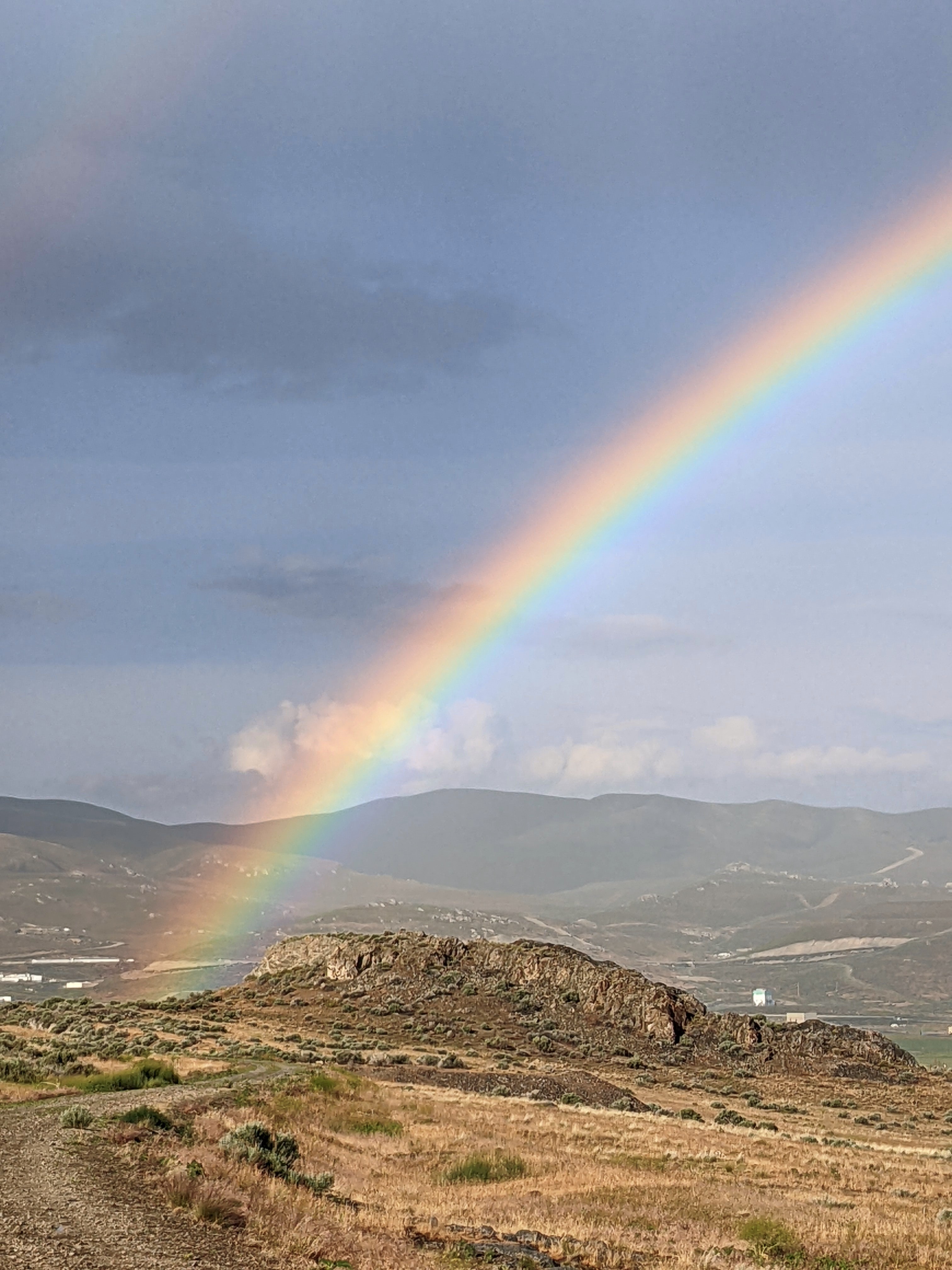
Conclusion: A New Era
The Promontory Mountains, which once served as a looming reminder of the harsh terrain, now stand watch over the achievements of those who labored here. These same achievements remain preserved at Golden Spike National Historical Park as a tribute to the perseverance and talents of all who worked to complete an engineering marvel and open a new chapter in our nation's history - the era of the railroad! This new era brought sweeping changes to American and united the country as never before. Geographically, economically, and politically, the nation was tied together by a band of iron rails on which a new generation of Americans raced to lay claim to a future full of promise. We hope that you have enjoyed your walk along the Big Fill Trail. For more information about the transcontinental railroad, talk to a ranger, visit our website at www.nps.gov/gosp, or visit the bookstore in our visitor center.
Introduction: An Epic Story
Construction features along the Big Fill Trail demonstrate the engineering skill and sheer determination of railroad workers who labored here. Not since tunneling through the Sierra Nevada did the Central Pacific confront such a rugged landscape. This portion of the railroad also represents the most grueling construction the Union Pacific undertook from Omaha to Promontory. As you walk the trail, remember that all construction was completed entirely by hand. What will take you 1 to 1-1/2 hours to walk, took the railroad companies about three months to build—just for this small section of the railroad. Also remember that the construction features you will see along the way are only part of the epic story of the transcontinental railroad. At 1776miles long, the railroad stretched from Omaha, Nebraska to Sacramento, California. It remains one of the most remarkable engineering feats in American history.
Stop 11-Union Pacifics Last Cut
Ironically, some of the most difficult work for the Union Pacific on their line from Nebraska to Utah was here in these mountains, only a few miles from the completion site. A tortuous ten miles of track, with an average climb of eighty feet per mile, was laid from the valley floor to the summit of the four long fills, four major trestles, five sizable rock cuts, and numerous culverts.
Stop 12-The Telegraph
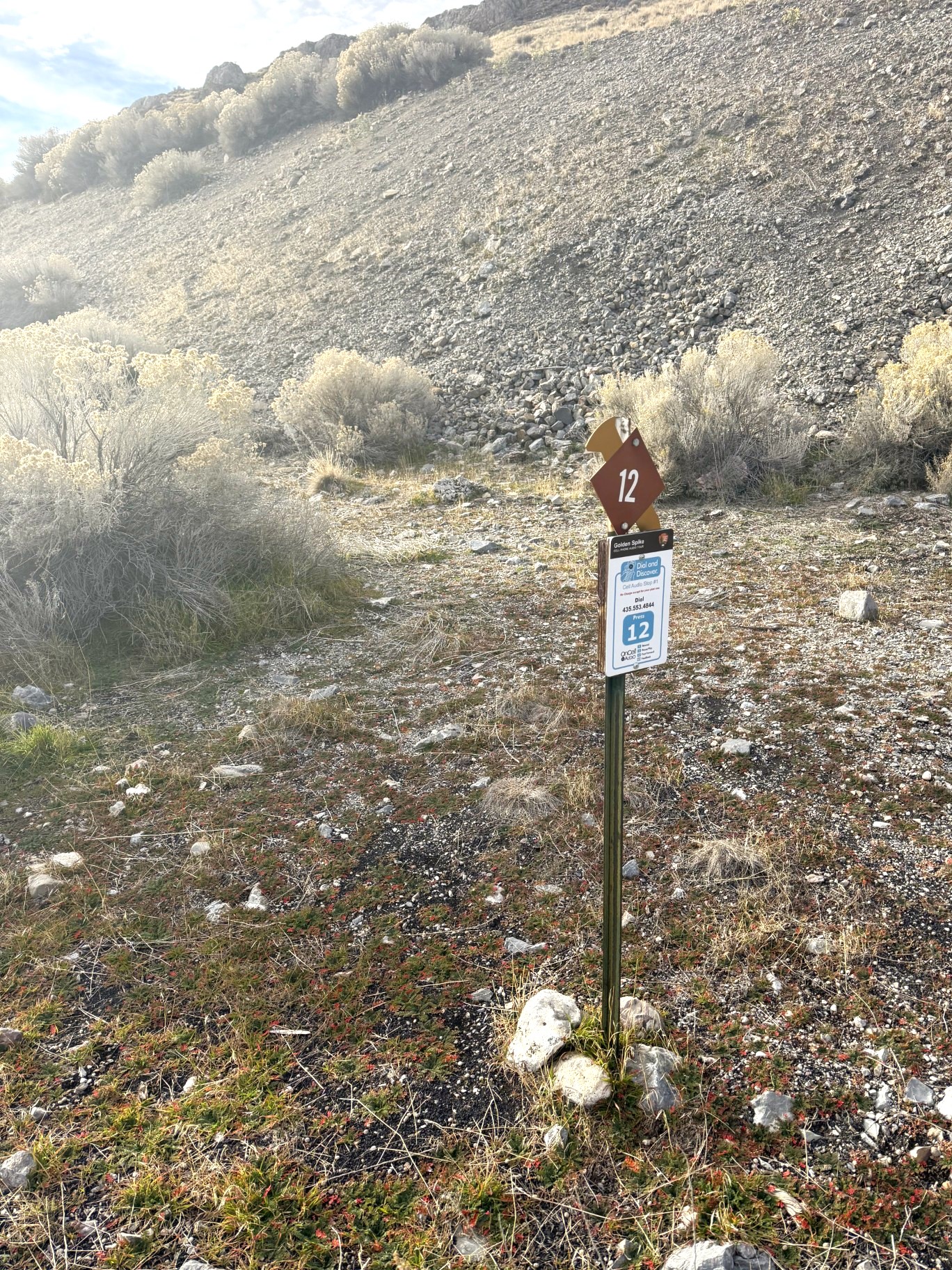
During construction of the transcontinental railroad, a telegraph line was also built alongside the railroad grade. The telegraph made communication between various points along the railroad immediate, which greatly facilitated obtaining supplies and materials and enabled station masters to effectively manage traffic on their parts of the transcontinental route. Most important, the telegraph enabled instant communication across the nation, further linking east and west.
Stop 10-An Unlikey Meeting Place
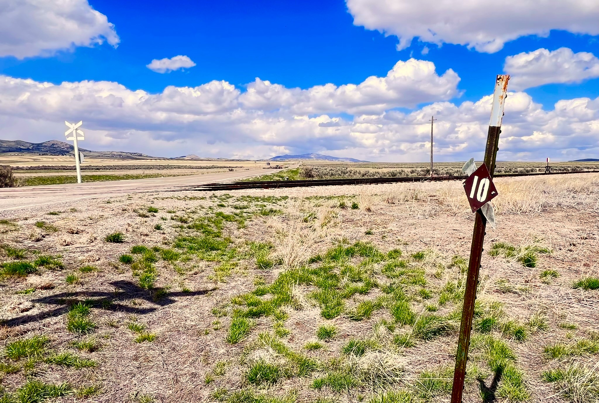
In the spring of 1869, with the Union Pacific already in Ogden and the Central Pacific closing in from just west of the Great Salt Lake, Congress and the two companies agreed to meet at a point equidistant between two ends of the track. Promontory Summit became the site for the Last Spike just by chance. During 1869, both rail lines terminated here and travelers were obliged to change trains to complete their journey east or west. It was an inconvenient arrangement since there was no water for locomotives, horses, or people. An early description listed the amenities. The town consists of a few tents, the ticket houses of both companies, their telegraph offices, hordes of grasshoppers and swarms of sand fleas. In early 1870, as part of an agreement between the companies, the terminus was moved to Ogden. As a result, trains no longer stopped regularly at Promontory and curious passengers only glimpsed the Last Spike site as they rolled by.
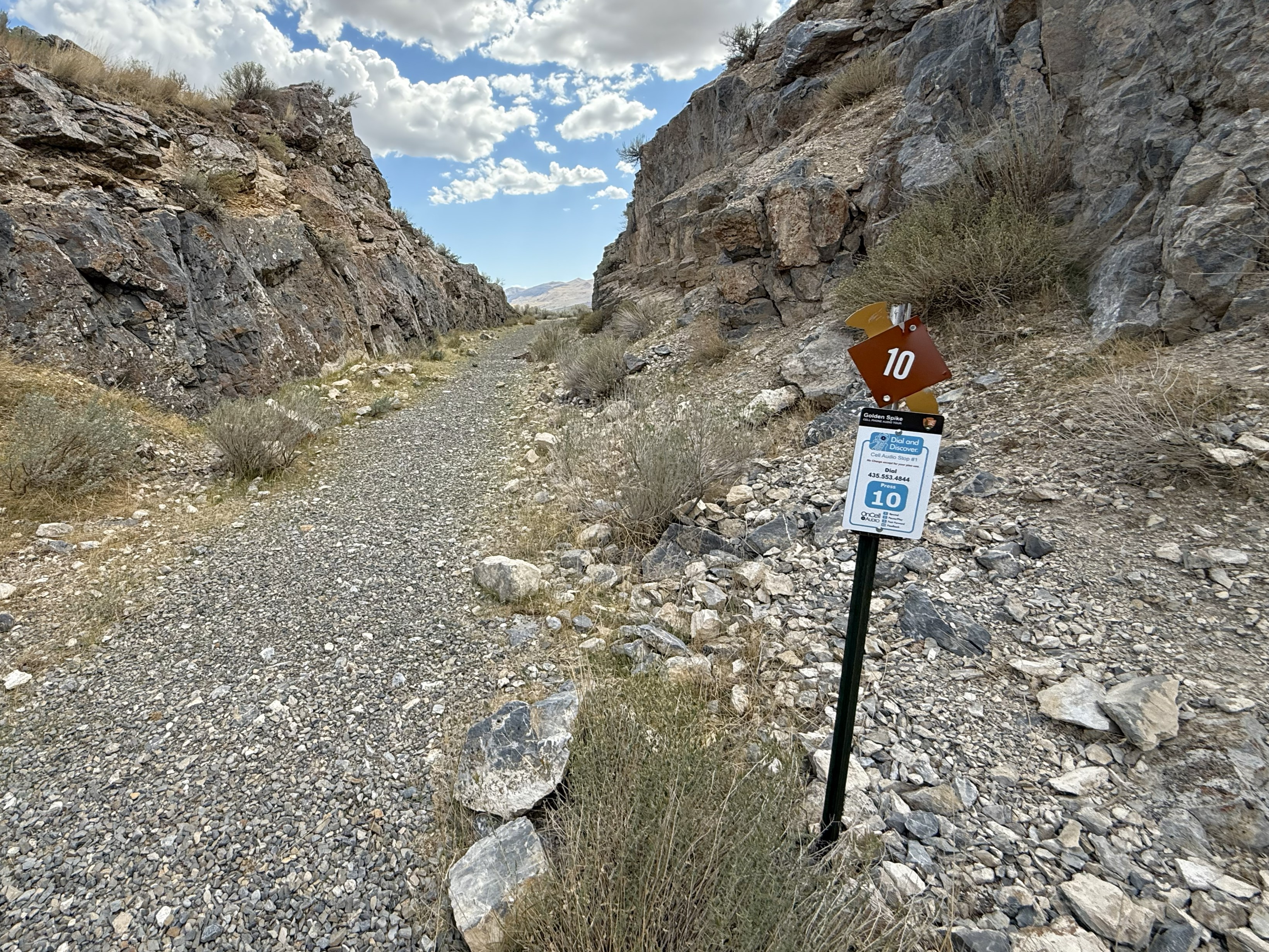
Stop 10-Drill Marks & Carmichael’s Cut
You are now walking through Carmichael’s Cut, which was part of the Union Pacific’s grade and has a multitude of drill marks through it. As you continue on through the cut, see how many drill marks you can find. The entire cut procedure was done in a stair-step fashion, meaning that several crews worked at different levels and on both sides of the cut at the same time. This type of construction allowed cuts to be created faster and more efficiently. Now step to the end of Carmichael’s Cut and take a look at the opposite side of the False Cut.
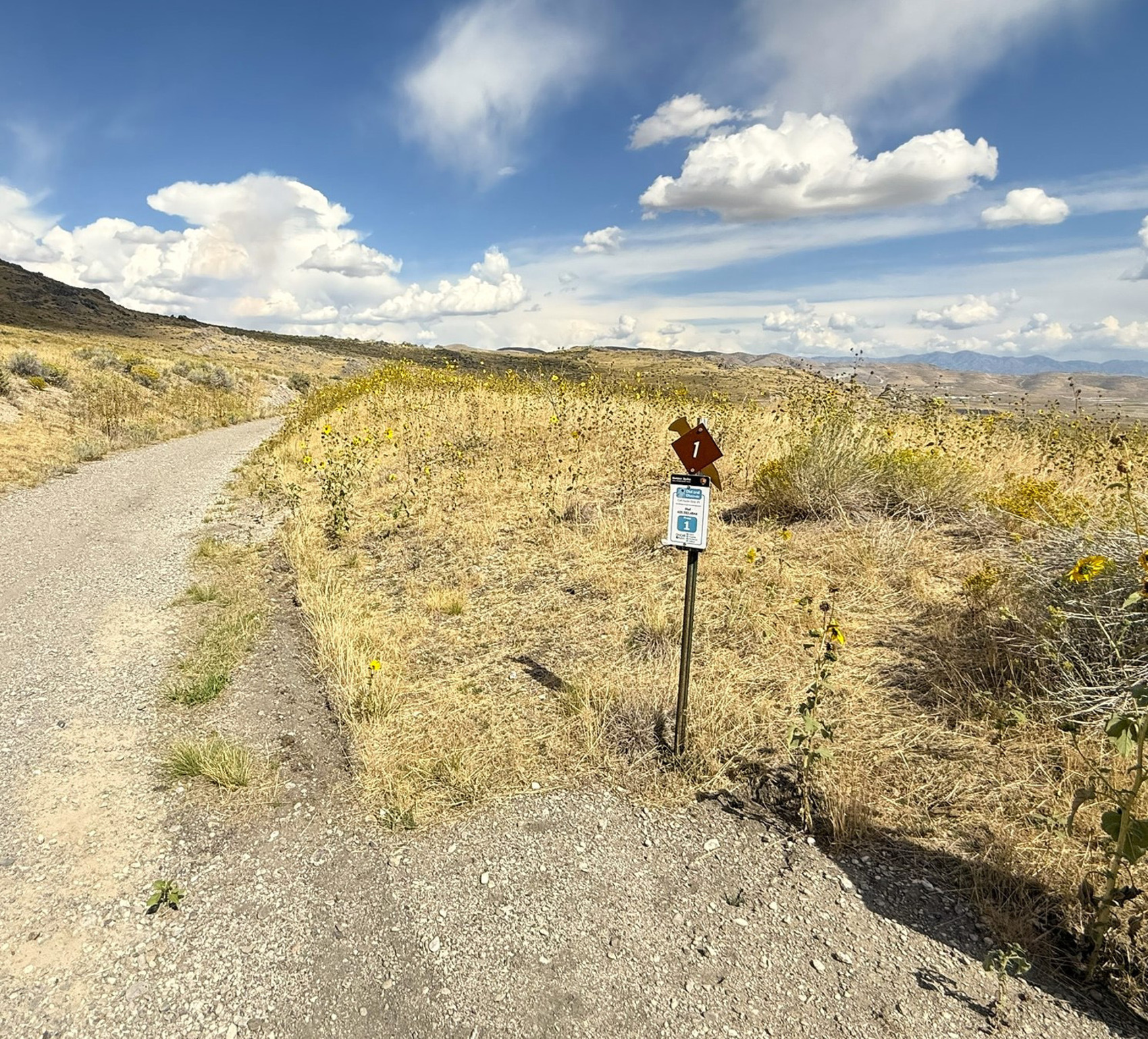
Stop 1-Steep Grade and the Orange Special Legend
Directly across from where you step onto the railroad grade is a plaque referencing the so-called “Orange Special” wreck. While no direct historical evidence confirms that this wreck occurred, the story has been passed down over time as part of the area’s railroad lore. Interpreted today, it offers a useful way to understand the challenging conditions trains faced while operating through Promontory. The steep 1.6% grade that continues to your right along the paved road helps explain how such an incident could have happened. On the transcontinental route, only a short stretch near the summit of the Sierra Nevada was steeper than the grade here. Because of these demanding slopes, all freight trains and many long passenger trains required at least one helper—often called a “hog” locomotive—to assist them while climbing or descending Promontory’s east slope. The Pacific Railroad Act of 1862 limited the maximum railroad grade to 2 percent. This standard helped ensure locomotives could pull heavy loads uphill while reducing the risk of loss of control or derailment on downhill runs. To meet this requirement, railroad engineers avoided the most direct routes, instead designing track alignments with broad curves and gradual turns—features still visible along the grade today.
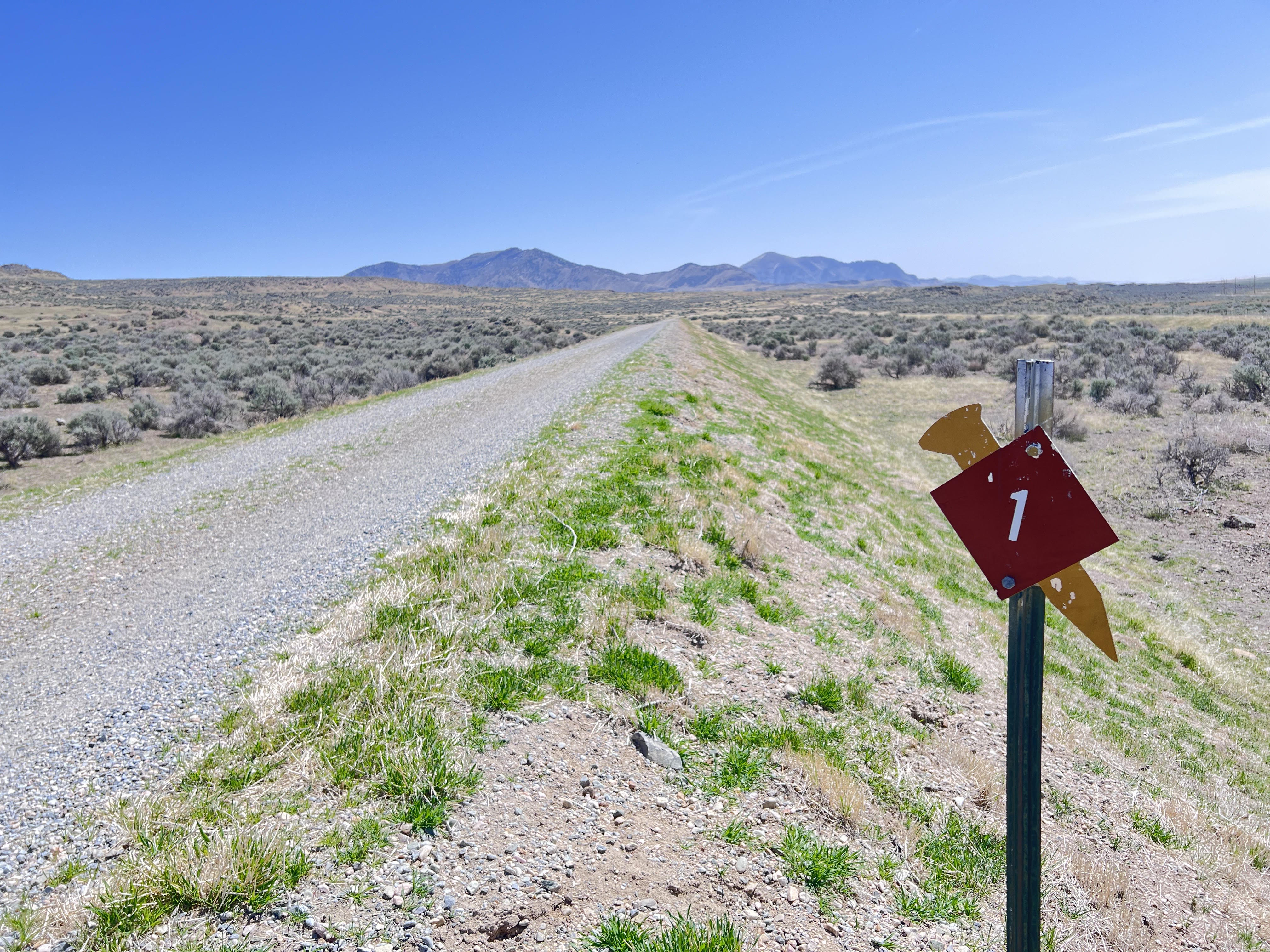
Stop 1-The Last Climb
The West Auto Tour is approximately seven miles and follows the original Transcontinental railroad grade and allows visitors to experience what passengers would have encountered on their travels through Utah Territory. A glimpse of the Great Salt Lake, wide open spaces and the iconic "10 Miles in a Day" sign await the visitor. The tour begins seven miles west of the Visitor Center via Golden Spike Drive. The West Tour is closed seasonally from late November to early June.
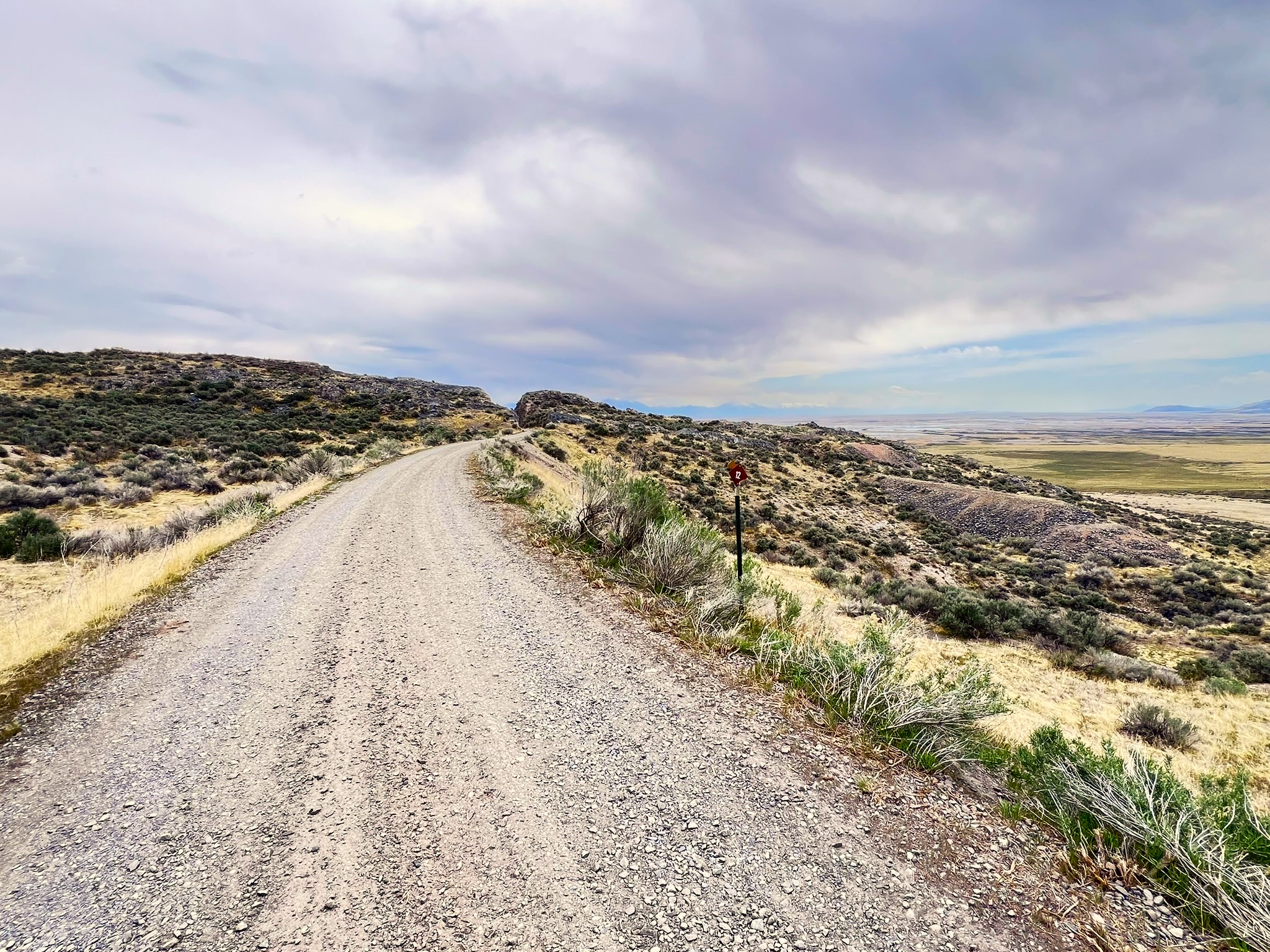
Stop 12-Trestles and Fills
Union Pacific crews began construction work in the Promontory Range much later than Central Pacific. Their belated start and the difficult job required shortcuts wherever possible. On the right, workmen trestled across this ravine rather than completing the fill as originally planned. A culvert crew finished a lengthy stone waterway along the bottom of the ravine before the decision was made to build a trestle instead. Central Pacific builders, on the other hand, were here through the harsh winter of 1868-69. They had more time and easily completed their fill across the same ravine.
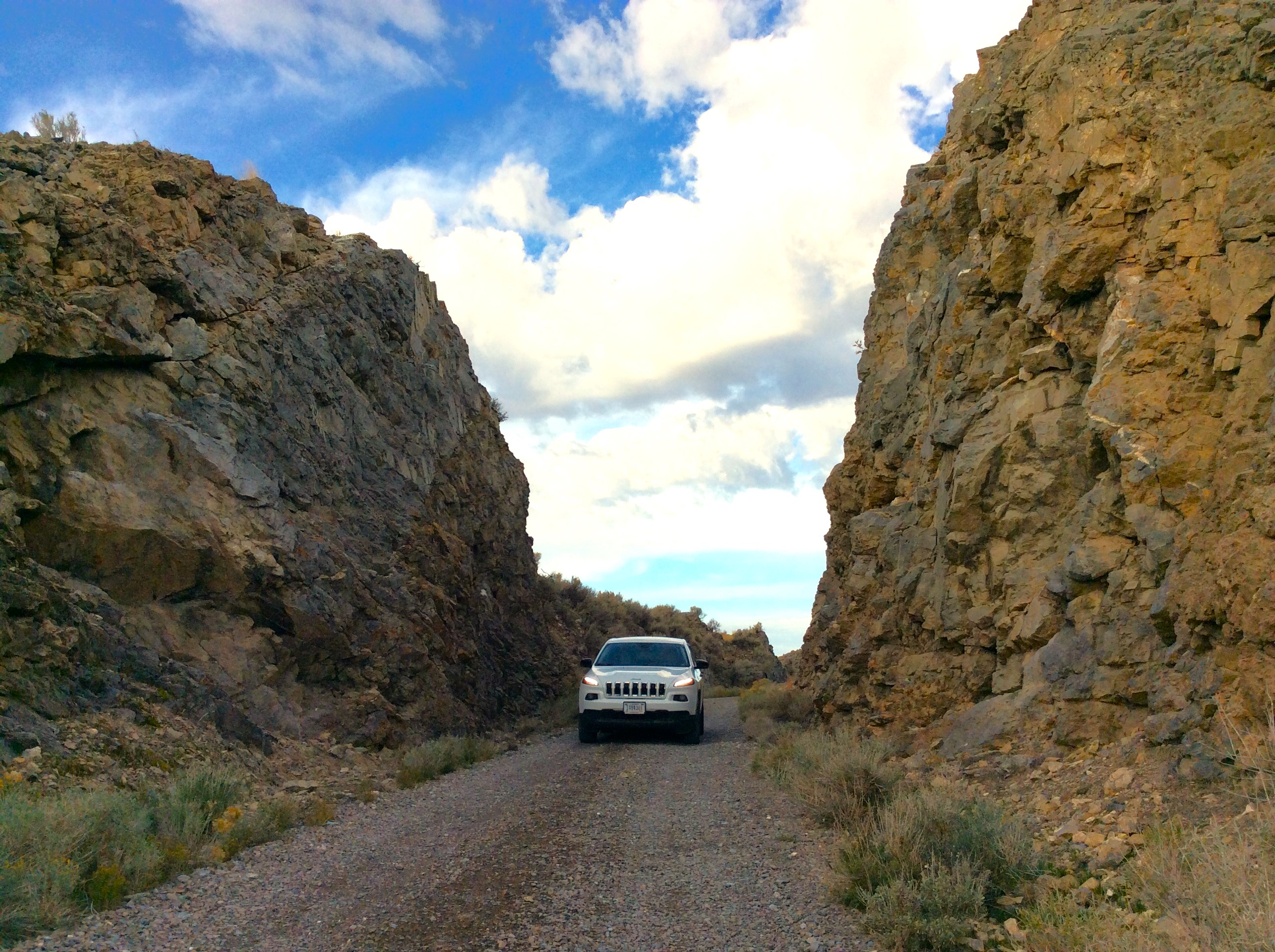
Stop 13-Blasting
Deep rock cuts like this one required specialized labor, tools, and huge quantities of explosives. Cuts were started by two-man drilling teams called double-jackers. One worker rotated a steel, chisel-like star drill, while the other struck it with a sledgehammer. A good double-jack team could drill a thirty-inch-deep hole in an hour. Look carefully; many of these drill holes are still visible. When drilling was completed, a powder monkey filled the holes with black powder and connected each hole with fuses. Once everyone was out of the way, the charges were ignited. A reporter from Salt Lake City's Deseret Evening News vividly described cutting here in the Promontory's: Sharp & Young's blasters are jarring the earth every few minutes with their glycerin and powder, lifting whole ledges of limestone rock from their long resting places, hurling them around... in every direction. Mr. T. E. Ricks showed me a boulder of three or four hundred pounds weight that was thrown over a half mile and completely buried itself in the ground within twenty yards of his cook room. I ate a hearty breakfast and left that spot sine die.
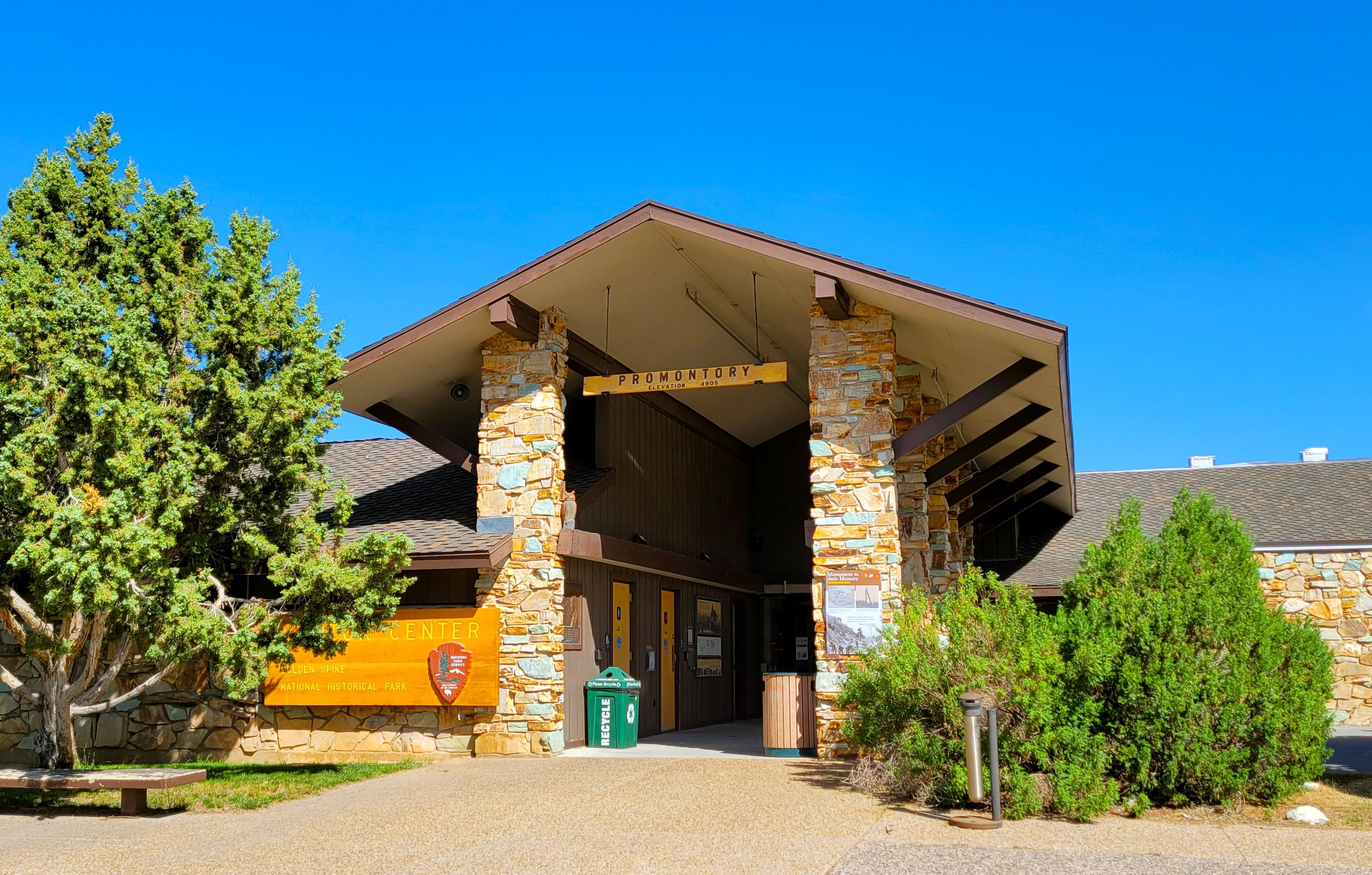
Visitor centers
Park stories
The Archeology of Chinese Laborers Who Connected the Country
Invasive Exotic Plant Monitoring at Golden Spike National Historical Park
NPS Geodiversity Atlas—Golden Spike National Historic Site, Utah
"Distant Thunder" Sculpture at Golden Spike National Historical Park Honors Bison's Past
National Park Getaway: Golden Spike National Historical Park
Invasive Exotic Plant Monitoring at Golden Spike National Historical Park: 2024 Field Season
Vegetation Production and Phenology at Golden Spike National Historical Park, 2000–2019
Park information courtesy of the National Park Service Data API.