

National Monument
Natural Bridges National Monument
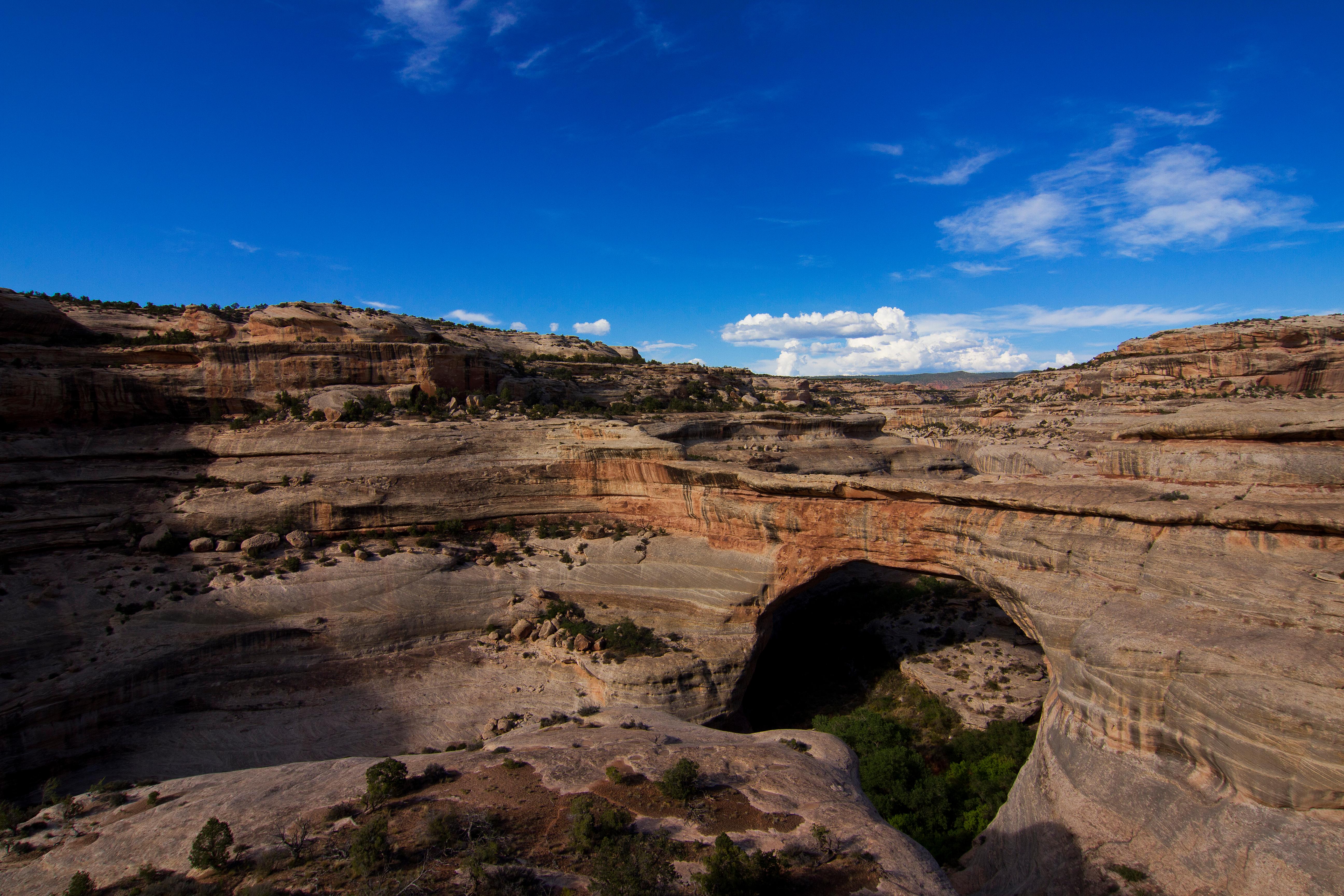
Three majestic natural bridges invite you to ponder the power of water in a landscape usually defined by its absence. View them from an overlook, or hit the trails and experience their grandeur from below. Declared a National Monument in 1908, the bridges are named "Kachina," "Owachomo" and "Sipapu" in honor of the Ancestral Puebloans who once made this place their home.
Official NPS pagePark Closure: Amphitheater Trail temporarily closed for construction
The Amphitheater Trail is closed for ongoing construction. Visitors will not be able to use the trail between the campground and the visitor center.
Information: Phone Number not Working
The phone at the park (435-692-1234) is not functioning reliably. People are advised to call 435-241-3951 during business hours in order to speak with a ranger.
Information: Natural Bridges has gone cashless
The park now accepts only mobile or electronic payments for entrance & camping fees. You can reserve campsites and buy entrance passes on Recreation.gov, or only use debit/credit cards to pay in person.
Hours
Natural Bridges National Monument is generally open 24 hours a day, year-round.
Entrance fees
Entrance - Private Vehicle: $20.00 · Entrance - Motorcycle: $15.00 · Entrance - Per Person: $10.00
Getting there
The entrance to Natural Bridges is at the end of UT 275, which is roughly 35 miles west of Blanding, Utah, on UT 95. Driving time from Blanding is roughly 45 minutes.
Camping in this park
Things to do
Hike to Sipapu Bridge
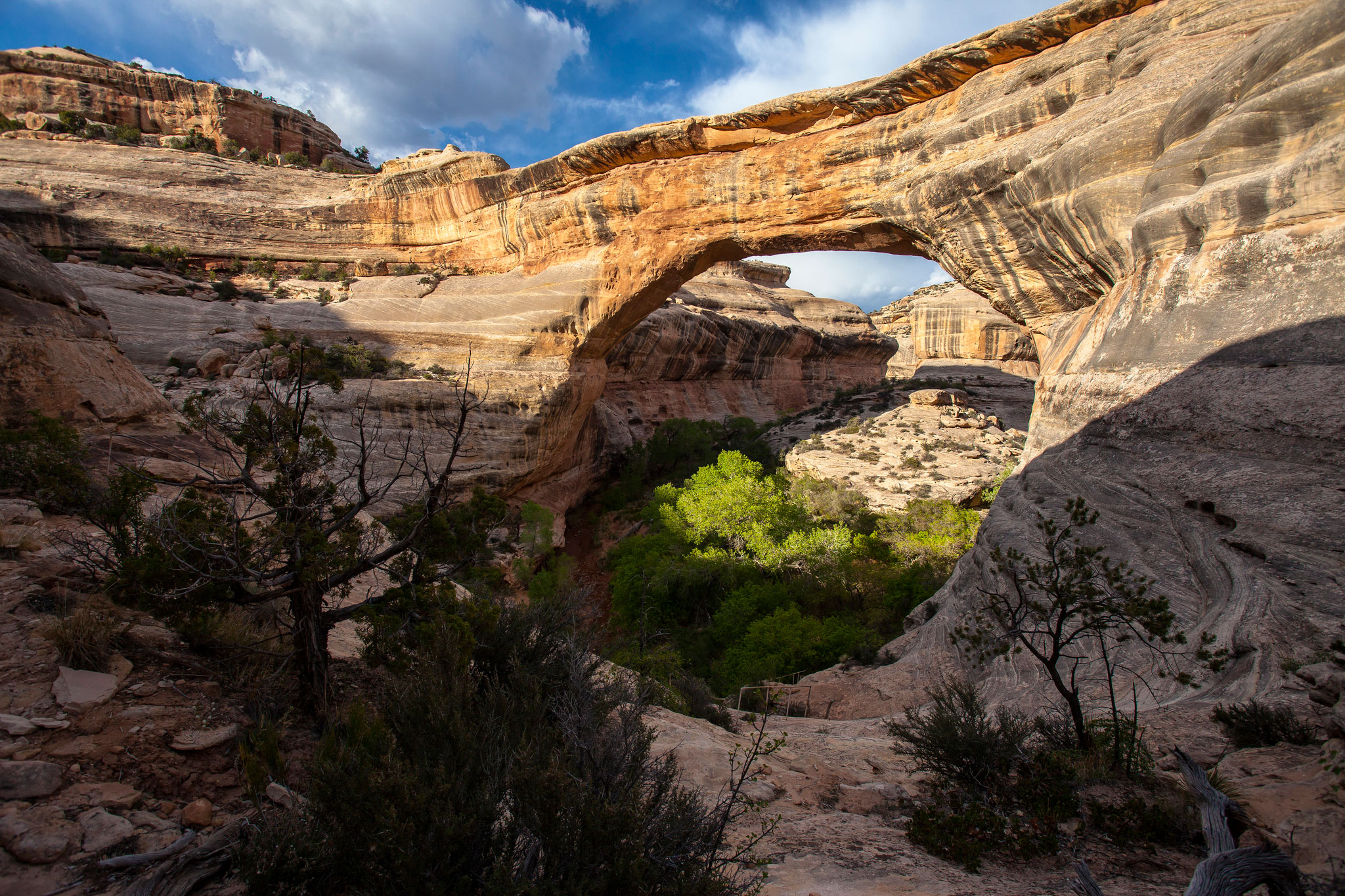
Sipapu Bridge’s tremendous span inspires and awes the imagination. Hike to the second largest natural bridge in the United States and, along the way, explore the geology of this fascinating region. You will fully appreciate this incredible natural feature with an adventurous canyon hike.
Walk to the Owachomo Bridge Viewpoint
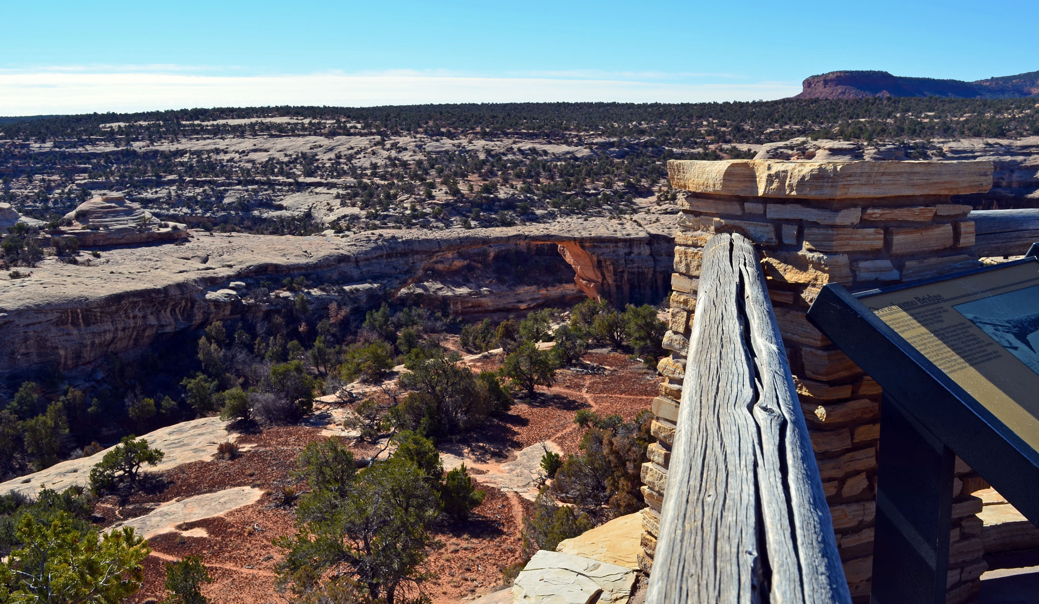
This viewpoint provides sweeping vistas of the smallest, and perhaps oldest, bridge in the park. This trail is good for any time of day or season. As the final stop along the loop road, Owachomo Bridge is the perfect conclusion to your visit at Natural Bridges National Monument.
Hike to the Horse Collar Ruin Overlook
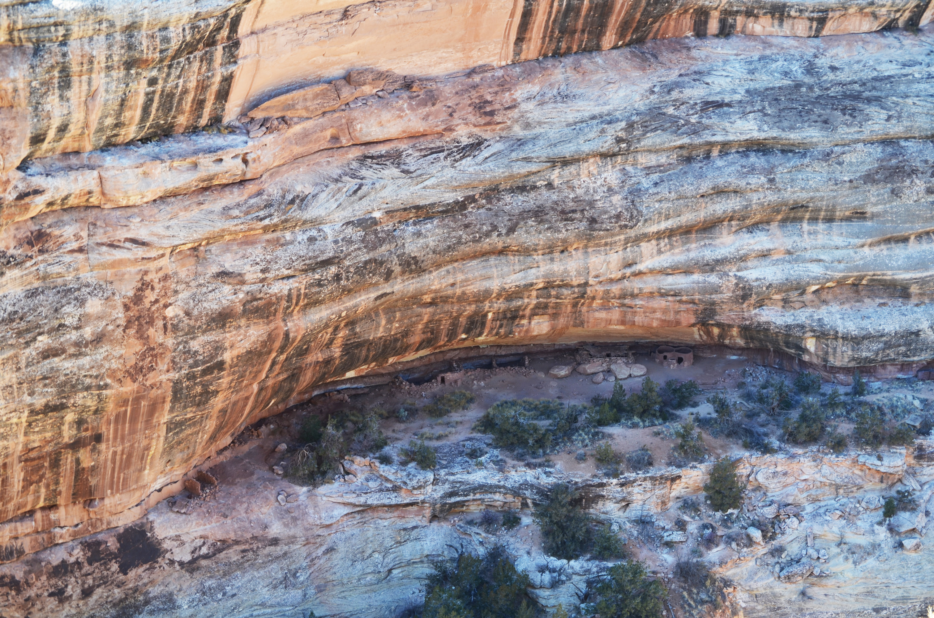
Get a birds-eye view of Horse Collar Ruin from this mesa-top overlook. A short hike over slickrock provides the chance to ponder what life may have been like 700 years ago. From the overlook, see the remarkably-preserved ancestral Puebloan structures and the surrounding canyon country.
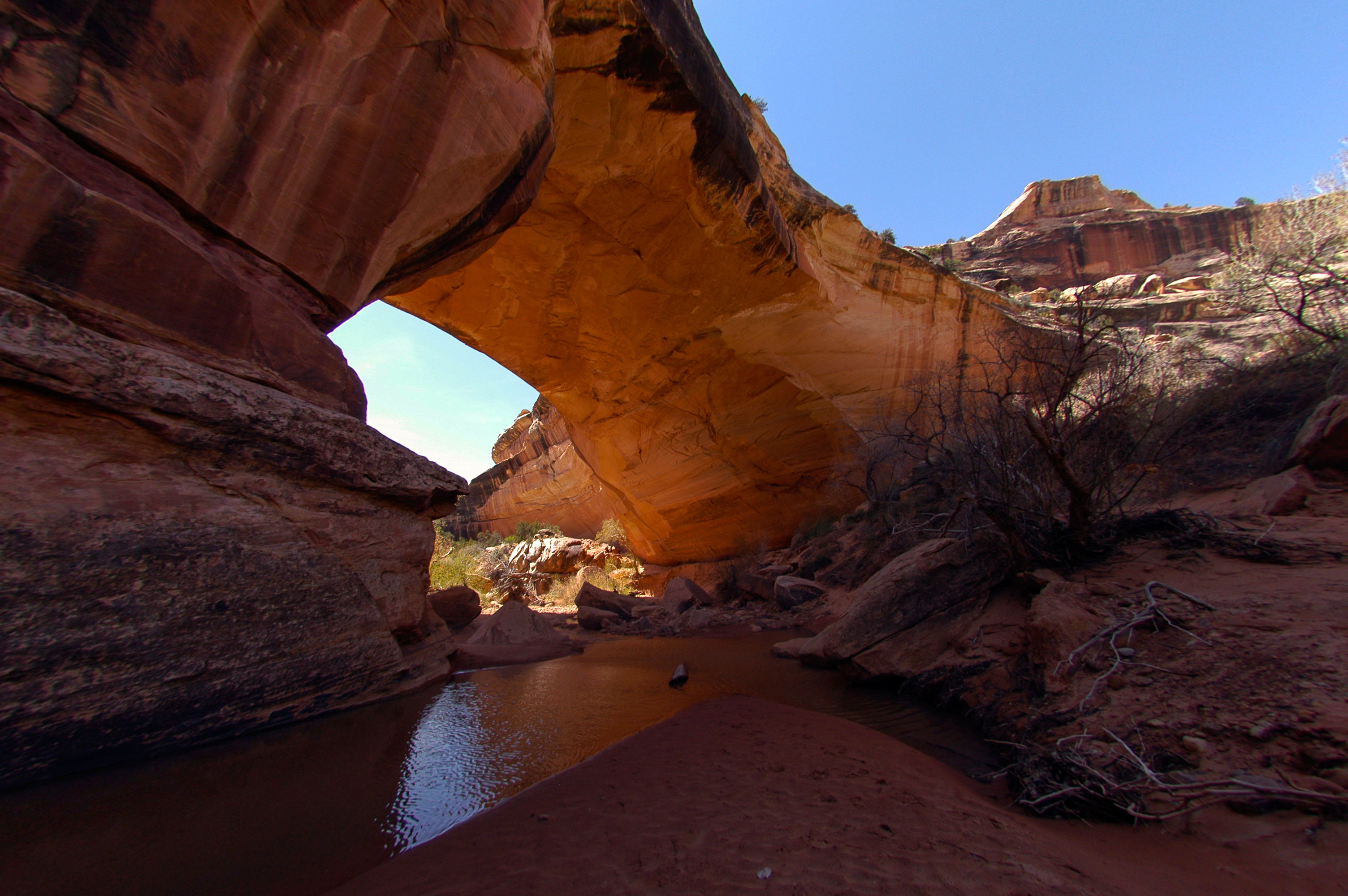
Hike to Kachina Bridge
Named for the petroglyphs on its side, hiking to the base of Kachina Bridge is taking a trip back in time. Gain new perspectives as you stand beneath the widest, and probably youngest, natural bridge in the park.
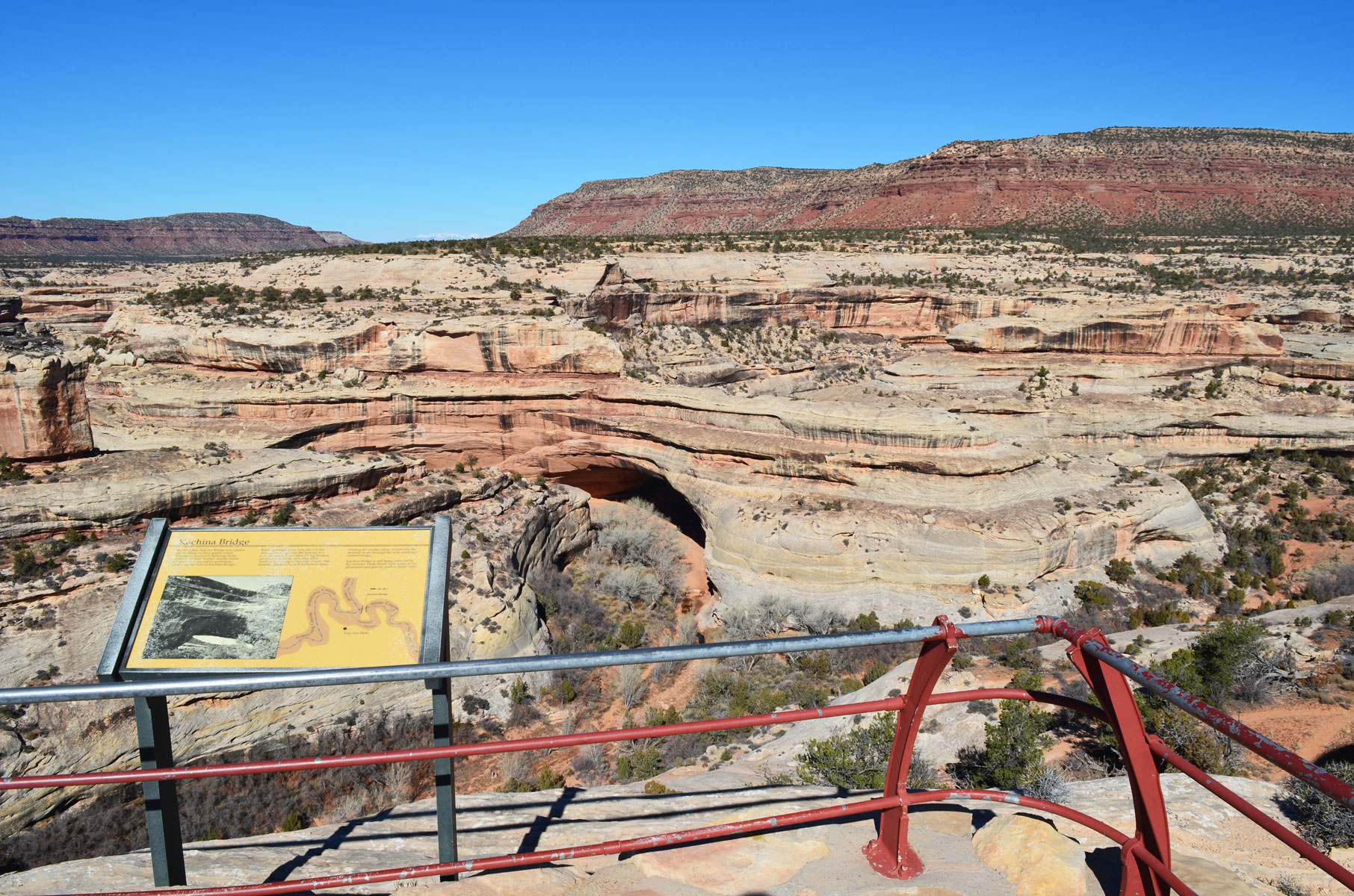
Walk to the Kachina Bridge Viewpoint
This trail provides aerial views of Kachina Bridge and the surrounding landscape. Desert plants abound along this winding, paved trail. Conveniently located halfway along the scenic loop drive, this paved trail is a hub for other, more rugged trails.
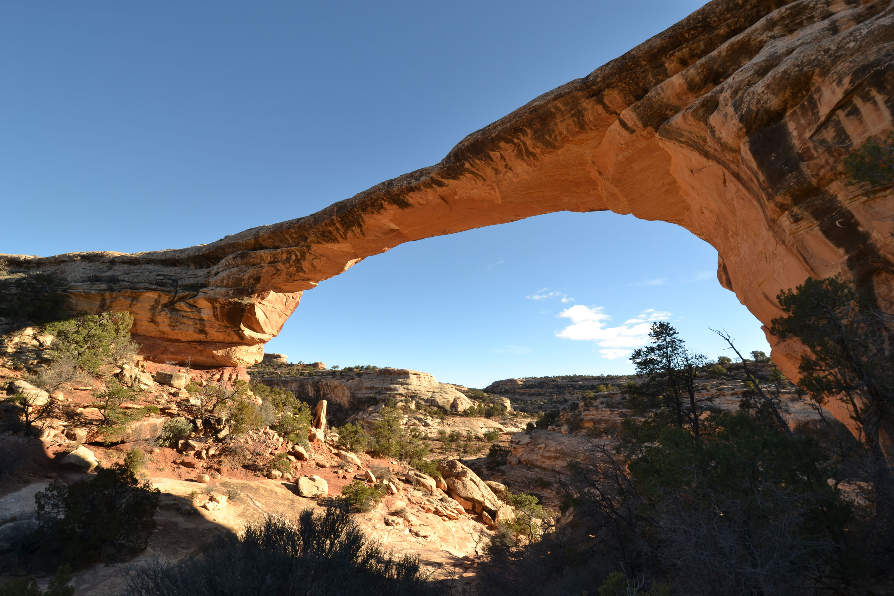
Hike to Owachomo Bridge
Owachomo Bridge is the most accessible and most photographed natural bridge in the park. It's also likely the oldest natural bridge in the park. See this ancient wonder up close with a half-mile round-trip hike.
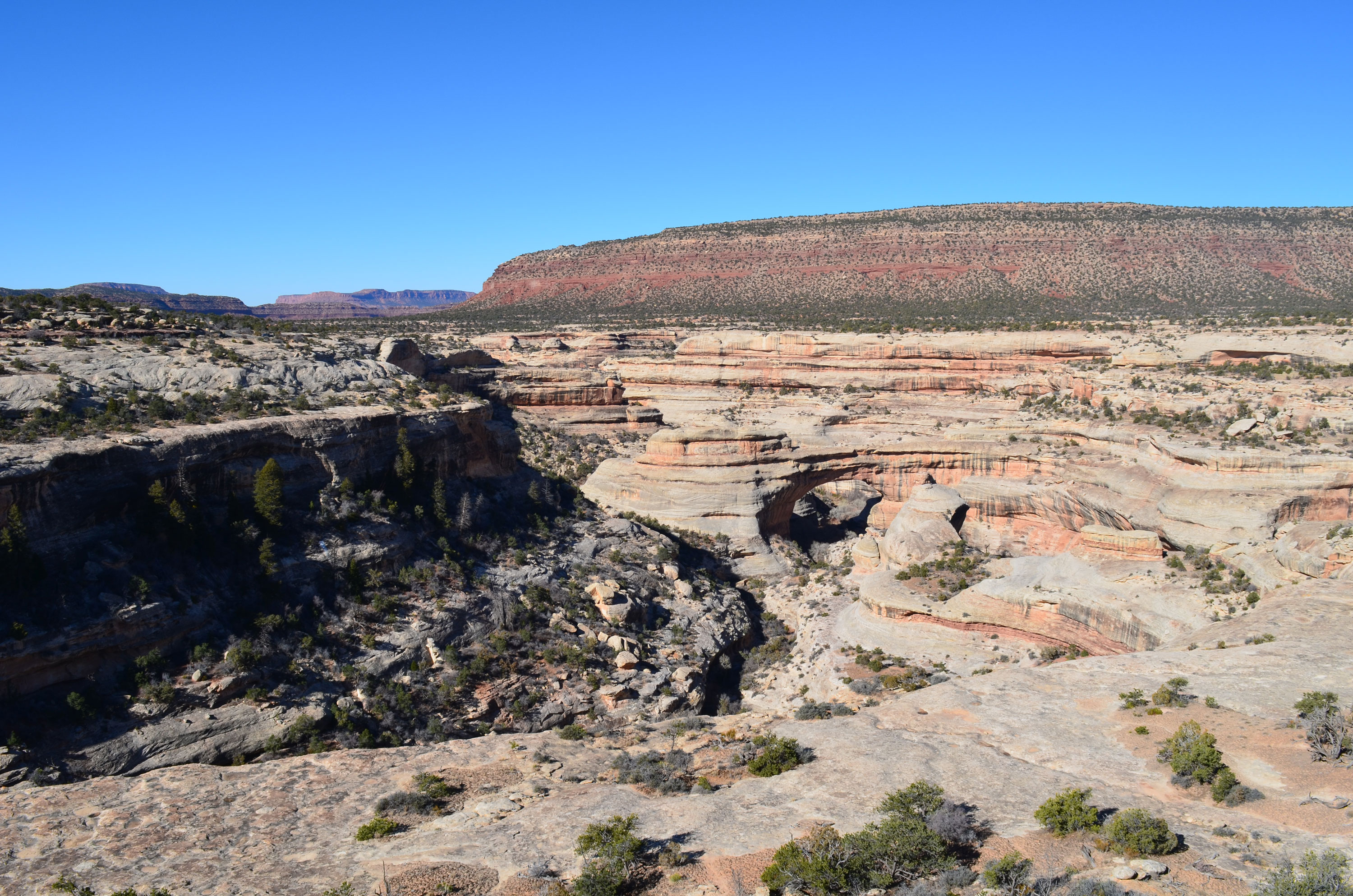
Walk to the Sipapu Bridge Viewpoint
The Sipapu Bridge Viewpoint is your first introduction to the natural bridges – and what a great place to start! This viewpoint provides scenic views of the second largest natural bridge in the United States and the largest in the park. The viewpoint is just a few minutes drive from the visitor center.
Places to see
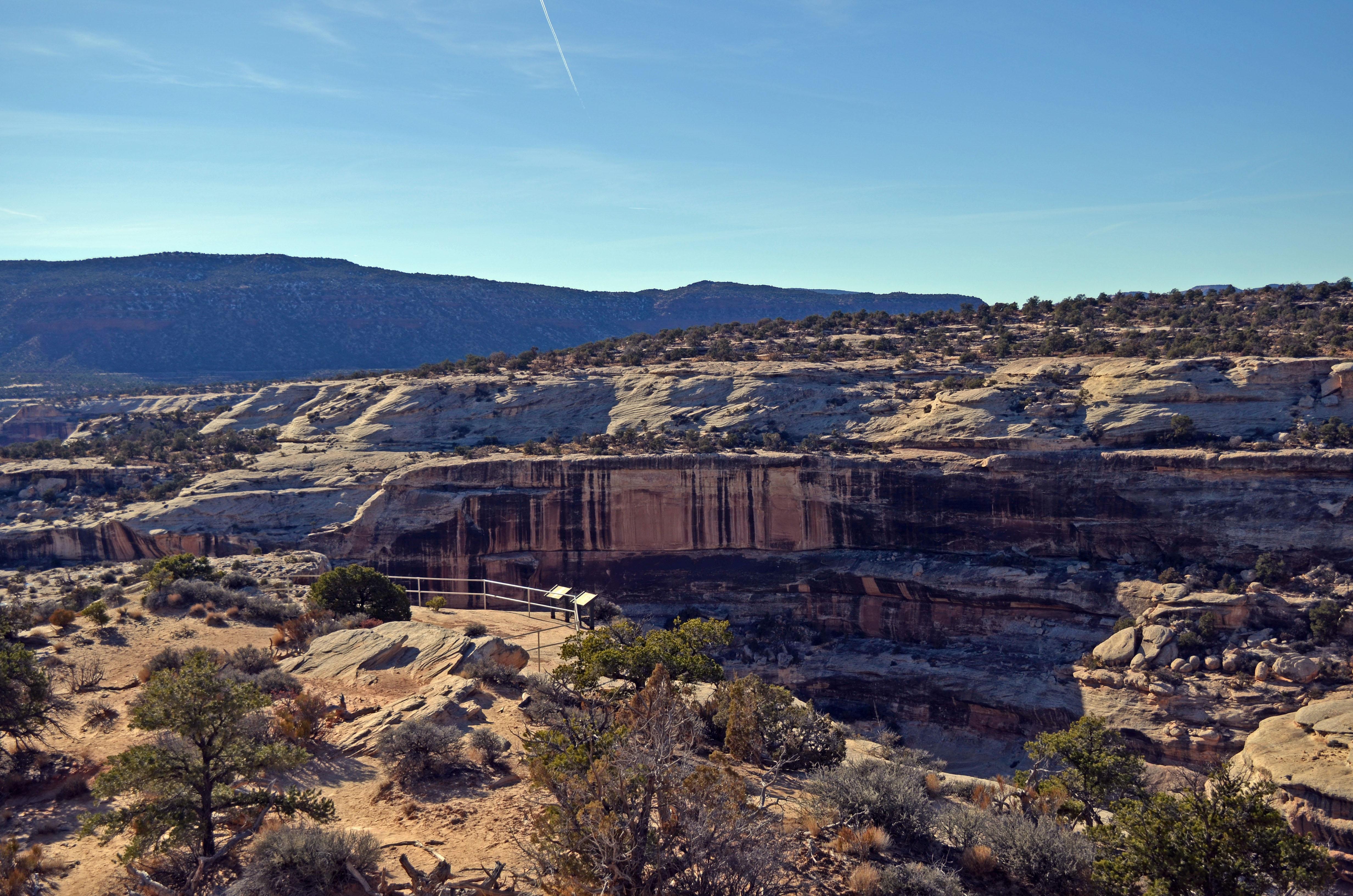
Horse Collar Ruin Overlook
Horse Collar Ruin is one of the best-preserved ancestral Puebloan sites in the area. The overlook is the easiest and best way to view the site. Horse Collar was named after two structures with doorways that resemble horse collars. We believe people left the area over 700 years ago and the site's remarkable state of preservation is due to the isolation of Natural Bridges. Few visitors made the journey down the canyons, so Horse Collar Ruin's kiva with original roof and interior were not disturbed. The site was rediscovered by an archeological expedition in 1907, seemingly forgotten, and rediscovered again in 1936 by Zeke Johnson, the park’s first custodian. Not much has changed since Zeke Johnson's day. The ladder into the kiva is gone, and much of the debris inside has been removed. Sadly, one can no longer find pottery or arrowheads here anymore--practically everything has been taken away by other visitors. The round structures are also much as Zeke Johnson first saw them. No one knows the exact purpose of these unusual structures. Why are they so perfectly round, and why did their builders not use the back of the alcove as a wall and save themselves a great deal of work? Were they ever roofed? If not, why bother constructing plaster floors? Were they used for storage? If so, why were fires lit inside them? What do you think?
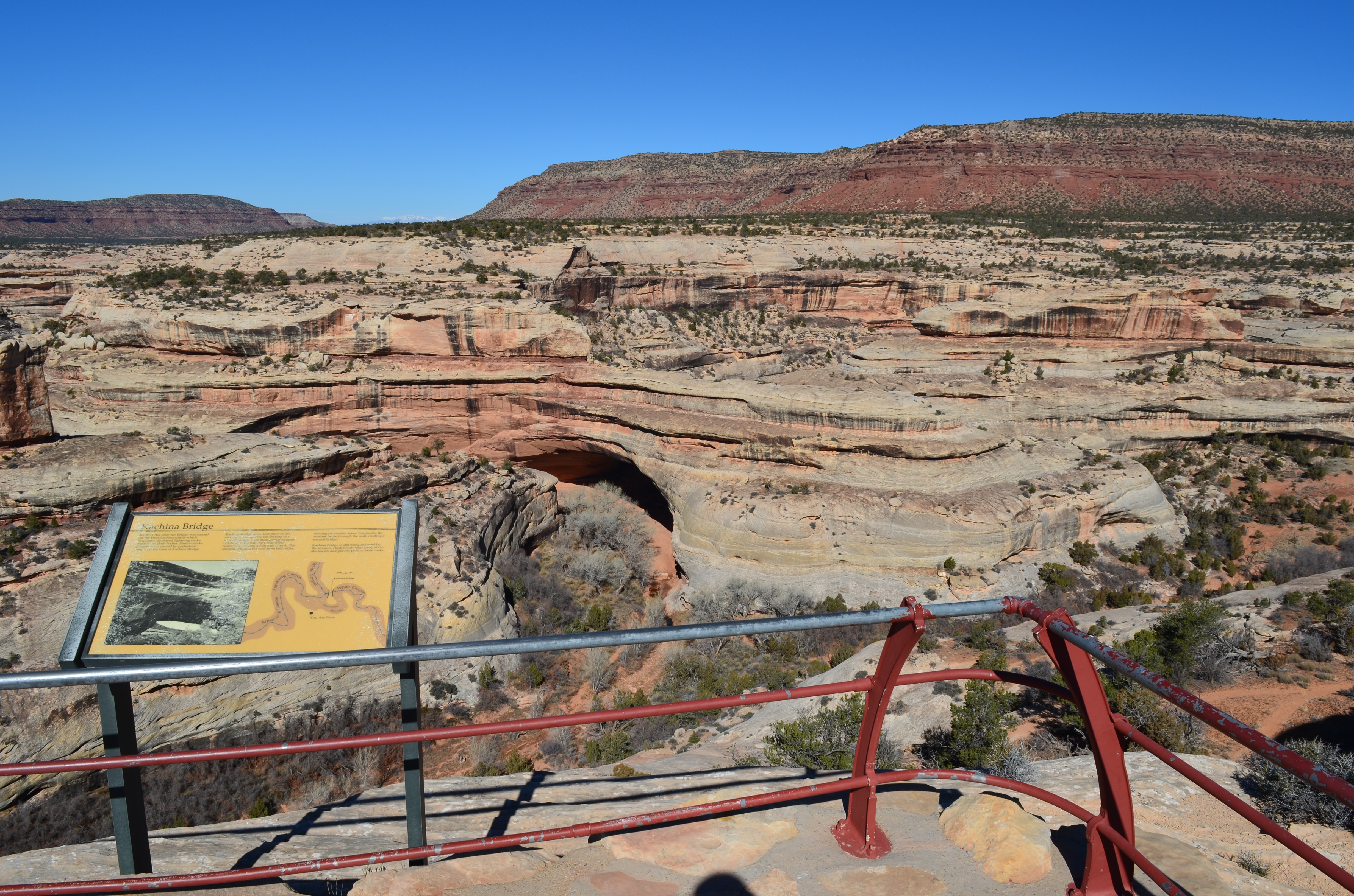
Kachina Bridge Viewpoint
Kachina is the medium bridge in the monument, larger than Owachomo but smaller than Sipapu. The viewpoint on the mesa top is the easiest way to see Kachina. From there, you can see the bridge’s thick span and reddish color. It is 44 feet wide and 93 feet thick in places. Also visible from the viewpoint is sweeping views of the surrounding landscape, including canyons and buttes. On the path to the viewpoint, look for desert flora like yucca, rabbitbrush, and twisting juniper trees.
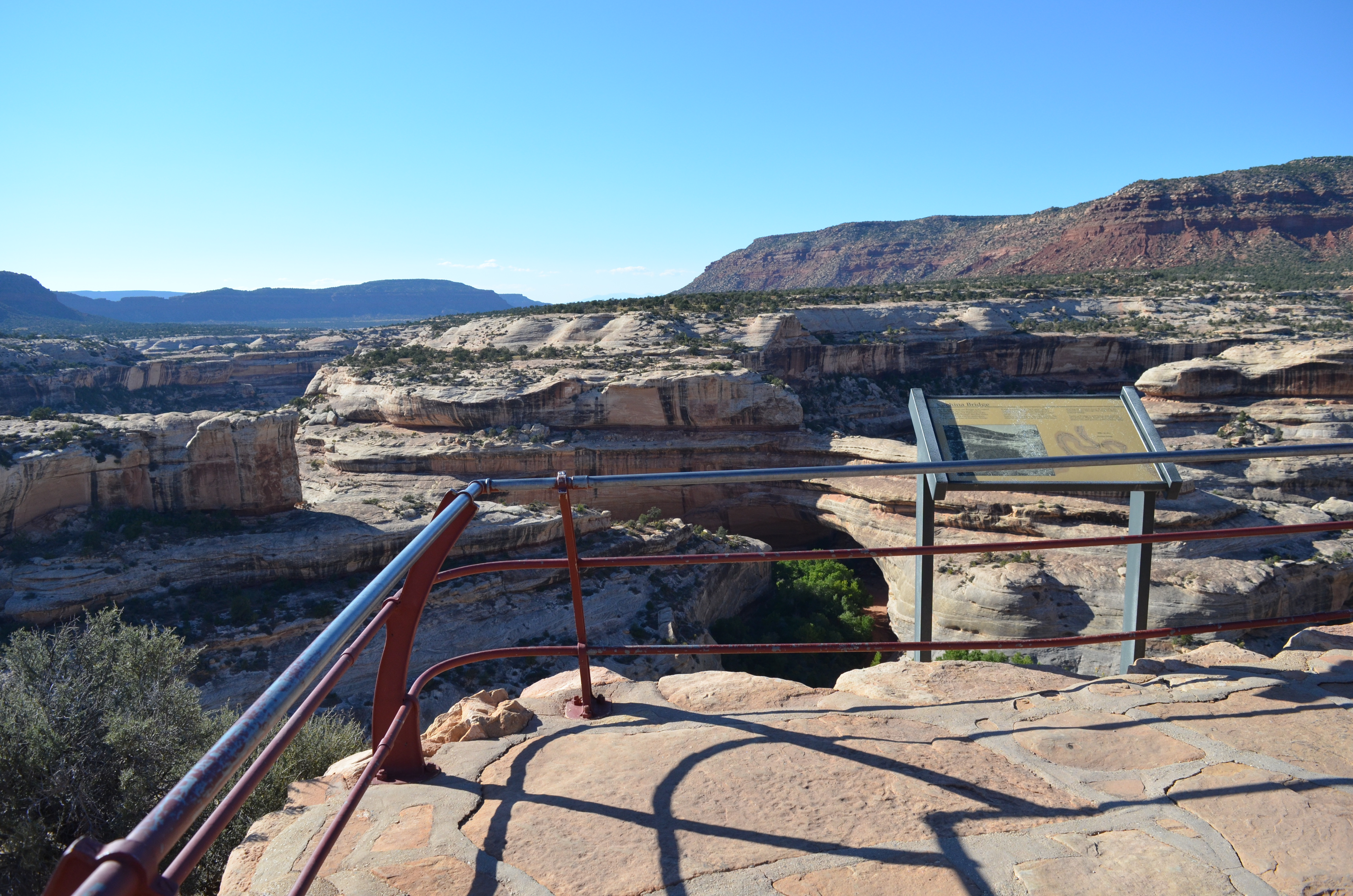
Owachomo Bridge Viewpoint
Owachomo Bridge is the smallest, thinnest, and most accessible bridge in the monument. The viewpoint is a short distance from the parking area and reveals sweeping views of the delicate span and surrounding country. Also visible from the viewpoint is the plethora of biological soil crust around the bridge’s base. Also notice the large rock mound on top of the bridge’s east end; Owachomo means rock mound in Hopi. Owachomo Bridge was also the site of the park’s first visitor center.
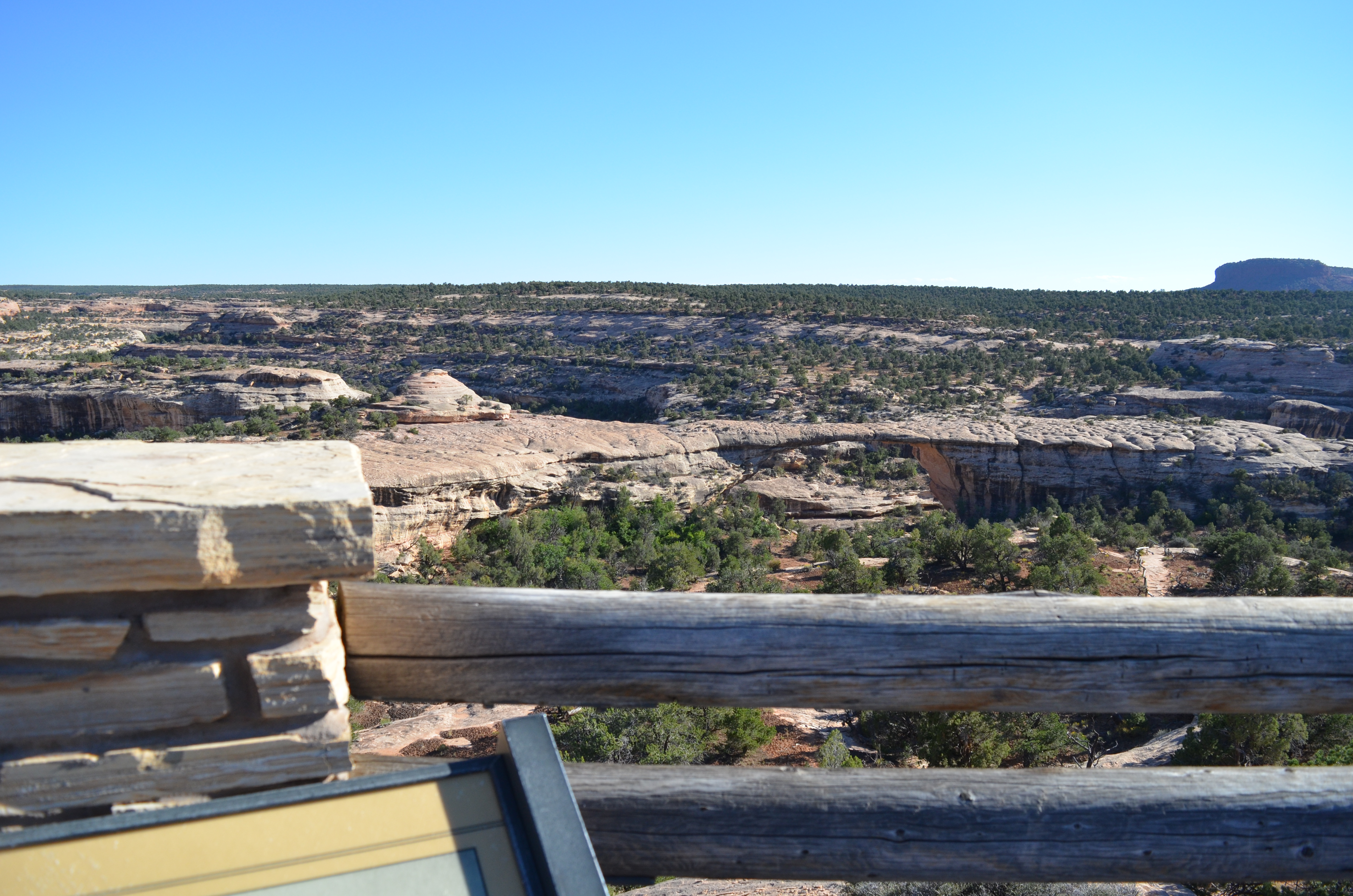
Sipapu Bridge Viewpoint
With a span of 268 feet, Sipapu Bridge is the largest natural bridge in the monument and the second largest in America (Rainbow Bridge is the first). The viewpoint, up on the mesa top, is the easiest way to see Sipapu Bridge, along with sweeping views of the surrounding canyon landscape. The viewpoint is slightly above the bridge, allowing for a more complete picture than the view from below. The Sipapu Bridge viewpoint is also an excellent place for geology. Look for desert varnish streaking down the canyon walls and potholes on the canyon rim. Below the bridge, follow the path of the ancient river that carved this natural landscape. The viewpoint is accessed from the scenic drive via a paved path.
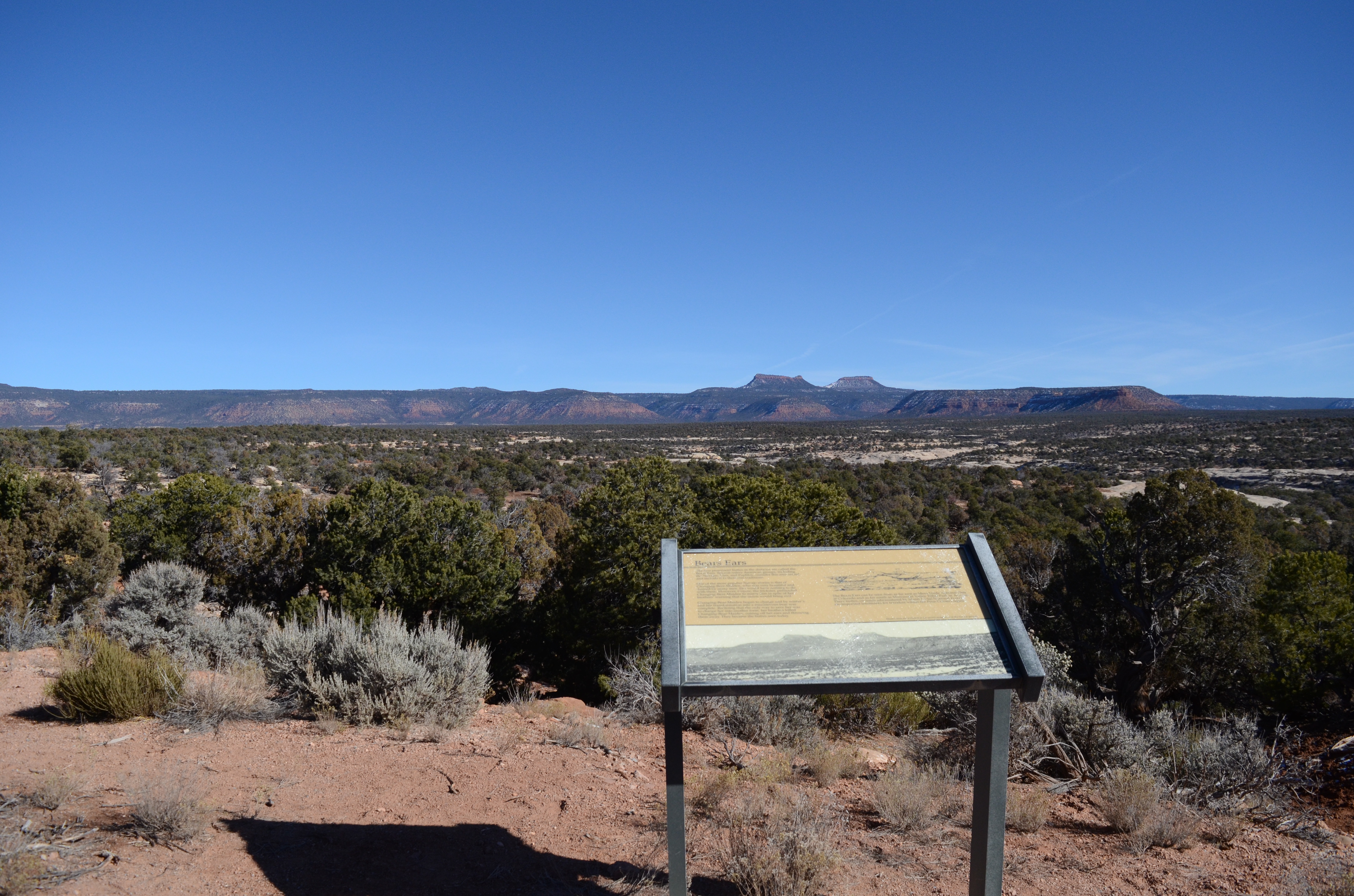
View of Bears Ears Buttes
Bears Ears Buttes are sacred, beautiful, and iconic. The buttes and surrounding area has a rich cultural heritage for the many local peoples who continue to use these lands for traditional and ceremonial uses. The Bears Ears can be seen from many places in the Four Corners, but one of the best views is from the scenic drive at Natural Bridges. Bears Ears National Monument is separate from Natural Bridges and managed by Bureau of Land Management and US Forest Service. Learn more about Bears Ears National Monument from the BLM.
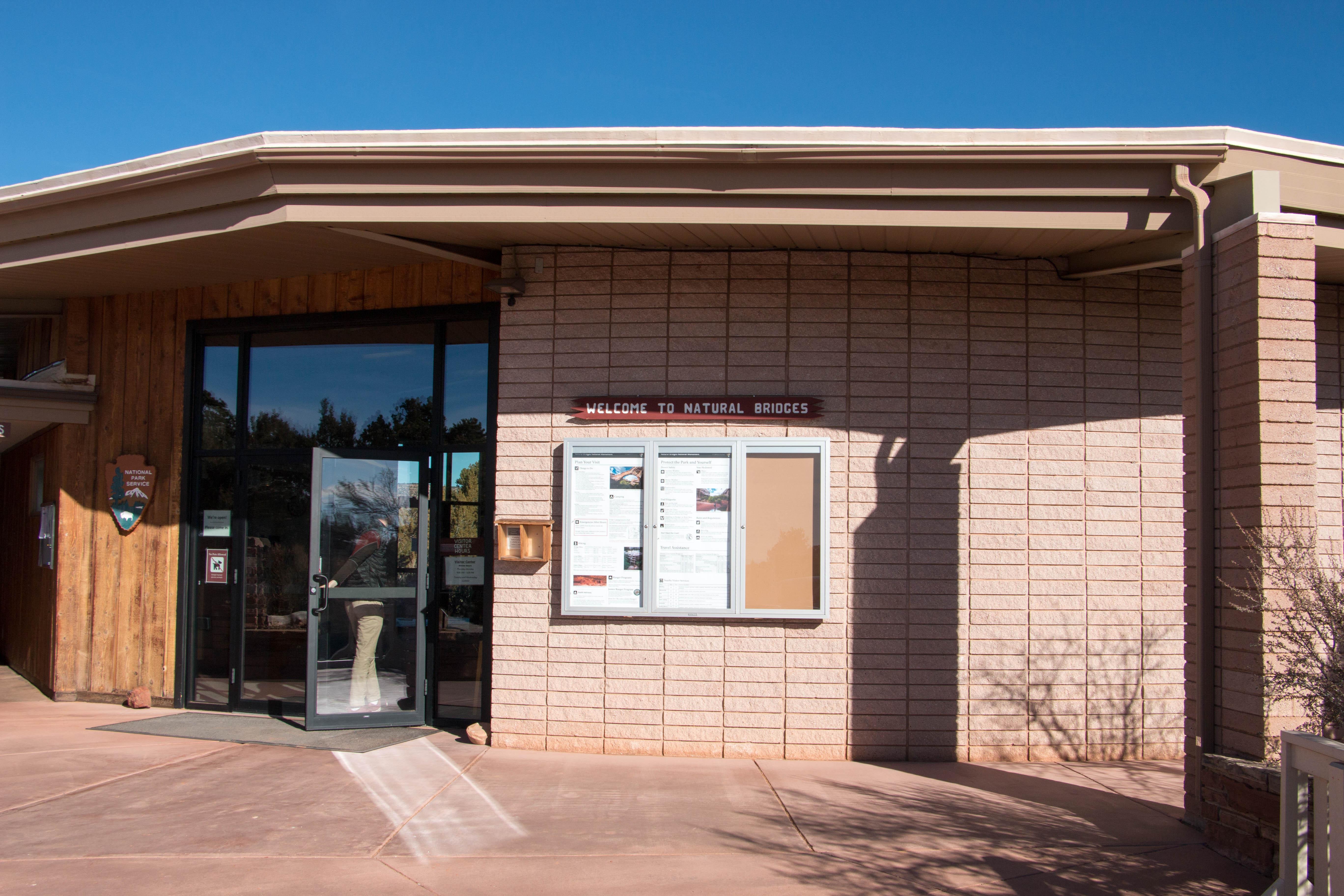
Visitor centers
Park stories
NPS Geodiversity Atlas—Natural Bridges National Monument, Utah
Wadeable Streams Monitoring at Natural Bridges National Monument, 2010–2018
National Park Getaway: Natural Bridges National Monument
But How Do They Know? Sedimentary Geology of Natural Bridges
Where Water Seeps, Life Clings: Protecting Navajo Sedge in Natural Bridges
Vegetation Production and Phenology at Natural Bridges National Monument, 2000–2019
Park information courtesy of the National Park Service Data API.